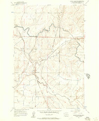
1956 Map of Bassett Junction
USGS Topo · Published 1957About this map
The high desert landscape of central Washington is defined here by the intersection of mid-century rail infrastructure and federal irrigation projects. At Bassett Junction, the Northern Pacific and the Chicago Milwaukee St Paul and Pacific railroads converge, marking a vital transit point between the small rail-stop settlements of Tiflis, Ritell, and Barham. The terrain is deeply etched by dry ravines such as Weber Coulee and Lind Coulee, which contrast sharply with the engineered path of the East Low Canal.
Find a feature on this map
14 named features on this map. Tap any name to fly to it.
Don’t see what you’re looking for? This feature index may not catch every label — zoom into the map to look around manually.
Map Details
Editions of this 1956 Bassett Junction Map
2 editions found

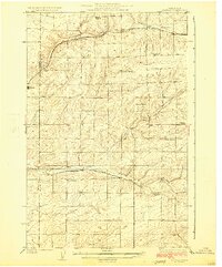
Other maps of this area

1916 · Connell
USGS Topo · 1:125,000

1918 · Connell
USGS Topo · 1:125,000

1923 · Wheeler
USGS Topo · 1:62,500

1924 · Othello
USGS Topo · 1:62,500

1925 · Wheeler
USGS Topo · 1:62,500
1925 · Schrag
USGS Topo · 1:62,500

1953 · Walla Walla
USGS Topo · 1:250,000

1953 · Ritzville
USGS Topo · 1:250,000
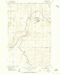
1954 · Warden
USGS Topo · 1:24,000
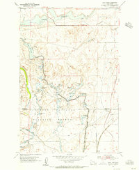
1954 · Soda Lake
USGS Topo · 1:24,000