Old Maps of Admirals Cove, Island County for Academic Research
Study the evolution of Admirals Cove with 16 high-resolution historic maps. Whether you're teaching, researching, or modeling changes in land use, these maps provide essential visual documentation of urban, environmental, and geographic change.
- Analyze long-term change: Track patterns in development, transportation, and natural features.
- Ideal for environmental or urban studies: Support academic projects with primary historical map data.
- Use in the classroom or lab: Educators and researchers rely on these maps to bring historical context to life.
These maps are a powerful tool for teaching, research, and visualizing how Admirals Cove has changed over the decades.
Admirals Cove, Island County maps
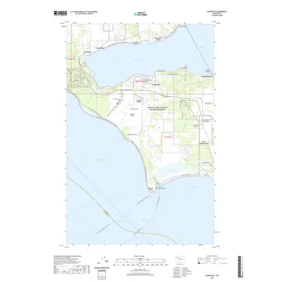
(16)- 1939 Map of Coupeville
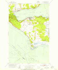
 1939 Coupeville1939 Print · USGSWhidbey and Marrowstone Islands are captured in the late 1930s when military forts and ferry lines still dictated the rhythm of Puget Sound. Researchers can trace the grounds of Fort Casey, locate the Island County Courthouse, and find vanished coastal landmarks like Pratts Resort.
 - 1953 Map of Coupeville, 1955 Print
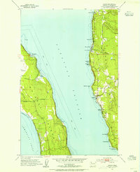
 1953 Coupeville1955 Print · USGSWhidbey Island in the early fifties shows a balance of historic prairie farming and vital Cold War military operations. Researchers can trace the legacy of Coupeville and Ebeys Landing or locate maritime landmarks like the Keystone Ferry Landing and the Lighthouse (Aband'd).3 unique versions available
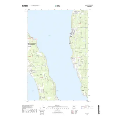
 - 1953 Map of Camano, 1955 Print
 1953 Camano1955 Print · USGSThe Puget Sound islands in the early fifties show a transition from rural homesteads to a coastal retreat. Trace the shoreline settlements of Madrona Beach and Cama Beach or the military grounds of the Whidbey Island Naval Air Station.4 unique versions available
 - 1957 Map of Victoria, 1960 Print
 1957 Victoria1960 Print · USGSThe San Juan Islands and the North Cascades coastline are shown in detail during the late fifties, a period of significant military and industrial presence. Researchers can trace historic rail lines like the Great Northern or locate sites such as the Whidbey Island Naval Air Sta and Friday Harbor.4 unique versions available
 - 1975 Map of Port Townsend, 1977 Print
 1975 Port Townsend1977 Print · USGSThe northern Puget Sound in the mid-seventies shows a landscape of military readiness and maritime industry. Researchers can trace the extensive Whidbey Island Naval Air Station or locate historic coastal defenses at Fort Casey Military Res and Fort Ebey Military Res.
 - 1993 Map of Port Townsend
 1993 Port Townsend1993 Print · USGSThe Puget Sound and Whidbey Island are captured in the early nineties, showing a landscape defined by naval aviation and maritime trade. Genealogists and local historians can trace the development of Oak Harbor and Coupeville or locate family sites near the Arlington Municipal Cemetery and Ault Field.
 - 2011 Map of Coupeville, 2011 Print
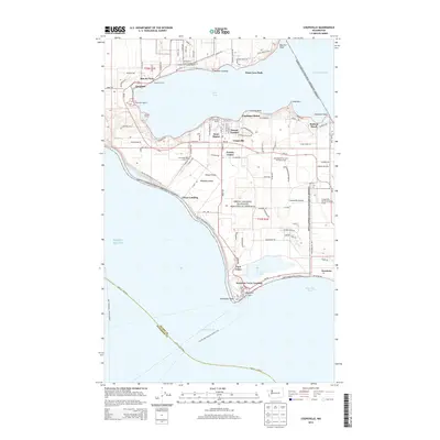
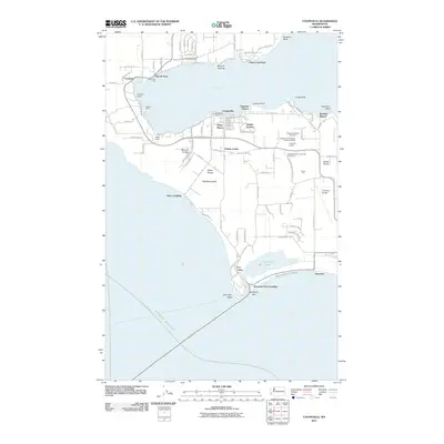 2011 Coupeville2011 Print · USGSCovers Admirals Cove, including Port Townsend, Coupeville, and other nearby areas
 - 2011 Map of Camano, 2011 Print
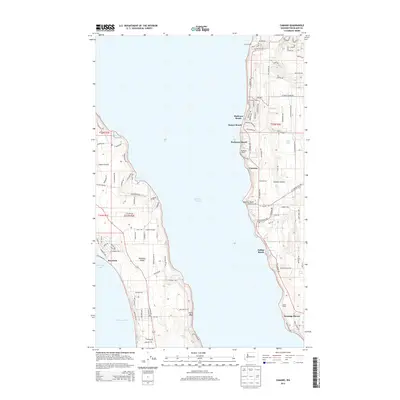
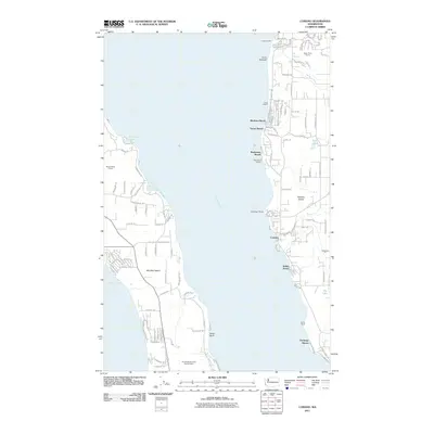 2011 Camano2011 Print · USGSCovers Admirals Cove, including Camano, Island County, and other nearby areas
 - 2014 Map of Coupeville, 2014 Print
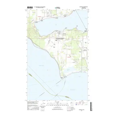
 2014 Coupeville2014 Print · USGSCovers Admirals Cove, including Port Townsend, Coupeville, and other nearby areas
 - 2014 Map of Camano, 2014 Print
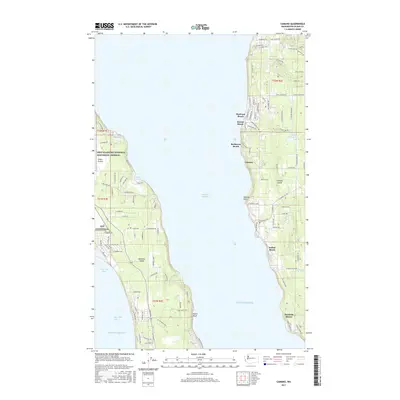
 2014 Camano2014 Print · USGSCovers Admirals Cove, including Camano, Island County, and other nearby areas
 - 2017 Map of Camano, 2017 Print
 2017 Camano2017 Print · USGSCovers Admirals Cove, including Camano, Island County, and other nearby areas
 - 2017 Map of Coupeville, 2017 Print
 2017 Coupeville2017 Print · USGSCovers Admirals Cove, including Port Townsend, Coupeville, and other nearby areas
 - 2020 Map of Coupeville, 2020 Print
 2020 Coupeville2020 Print · USGSCovers Admirals Cove, including Port Townsend, Coupeville, and other nearby areas
 - 2020 Map of Camano, 2020 Print
 2020 Camano2020 Print · USGSCovers Admirals Cove, including Camano, Island County, and other nearby areas
 - 2023 Map of Camano, 2023 Print
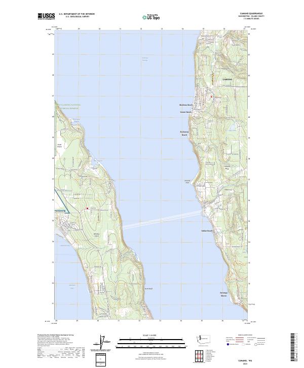 2023 Camano2023 Print · USGSCoastal life on Whidbey Island and Camano Island is captured here in the early twenty-first century. Researchers can trace the layout of Ebey's Landing National Historical Reserve or locate local landmarks like OLF Coupeville and Madrona Beach.
 - 2023 Map of Coupeville, 2023 Print
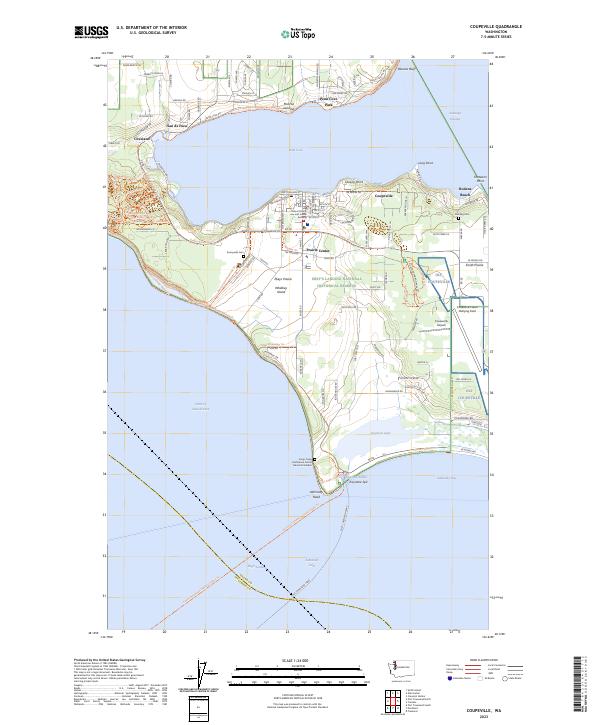 2023 Coupeville2023 Print · USGSWhidbey Island's central corridor shows a fascinating mix of naval aviation and deep-rooted agricultural history in the early twenty-first century. Researchers can locate family sites near Sunnyside Cem or trace the geography of Ebey's Landing National Historical Reserve and San de Fuca.
End of results
Showing maps 1-16 of 16
Frequently asked questions
- What are the different types of historical maps available for Admirals Cove?
- What is the oldest map of Admirals Cove?
- Where can I purchase historical maps of Admirals Cove for my home or office?
- Where can I download high-res historical maps of Admirals Cove?
- Are there historical topographic maps available for Admirals Cove?
- Is there historical aerial imagery available for Admirals Cove?
- Where are historical maps of Admirals Cove sourced from?