Old Maps of Cape George Colony Club, Washington for Academic Research
Study the evolution of Cape George Colony Club with 16 high-resolution historic maps. Whether you're teaching, researching, or modeling changes in land use, these maps provide essential visual documentation of urban, environmental, and geographic change.
- Analyze long-term change: Track patterns in development, transportation, and natural features.
- Ideal for environmental or urban studies: Support academic projects with primary historical map data.
- Use in the classroom or lab: Educators and researchers rely on these maps to bring historical context to life.
These maps are a powerful tool for teaching, research, and visualizing how Cape George Colony Club has changed over the decades.
Cape George Colony Club, WA maps
(16)- 1939 Map of Port Townsend
 1939 Port Townsend1939 Print · USGSCoastal Jefferson County in the late 1930s serves as a vital maritime and military hub at the edge of the Strait of Juan de Fuca. Genealogists and historians can trace family-named sites like Clark Farm alongside major landmarks like Fort Worden and the busy docks of Irondale.
 - 1953 Map of Port Townsend South, 1955 Print
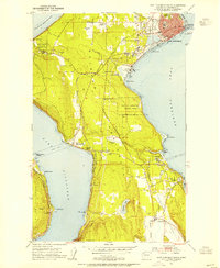 1953 Port Townsend South1955 Print · USGSThe Quimper Peninsula in the mid-1950s is a landscape of coastal industry and rural valley life. Genealogists and historians can trace the rail corridor of the Chicago Milwaukee St Paul and Pacific or locate residents near Irondale, Hadlock, and Laurel Grove Cem.4 unique versions available
 - 1953 Map of Gardiner, 1955 Print
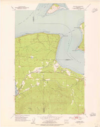 1953 Gardiner1955 Print · USGSThe northern Olympic Peninsula in the early fifties shows a landscape of coastal settlements and timber-era infrastructure. Researchers can trace the Chicago Milwaukee St Paul and Pacific rail line and locate landmarks like the Cem near Blyn and Diamond Pt.5 unique versions available
 - 1957 Map of Victoria, 1960 Print
 1957 Victoria1960 Print · USGSThe San Juan Islands and the North Cascades coastline are shown in detail during the late fifties, a period of significant military and industrial presence. Researchers can trace historic rail lines like the Great Northern or locate sites such as the Whidbey Island Naval Air Sta and Friday Harbor.4 unique versions available
 - 1975 Map of Port Townsend, 1977 Print
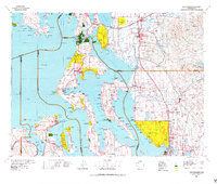 1975 Port Townsend1977 Print · USGSThe northern Puget Sound in the mid-seventies shows a landscape of military readiness and maritime industry. Researchers can trace the extensive Whidbey Island Naval Air Station or locate historic coastal defenses at Fort Casey Military Res and Fort Ebey Military Res.
 - 1993 Map of Port Townsend
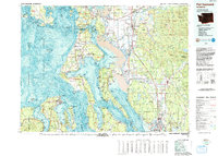 1993 Port Townsend1993 Print · USGSThe Puget Sound and Whidbey Island are captured in the early nineties, showing a landscape defined by naval aviation and maritime trade. Genealogists and local historians can trace the development of Oak Harbor and Coupeville or locate family sites near the Arlington Municipal Cemetery and Ault Field.
 - 2011 Map of Port Townsend South, 2011 Print
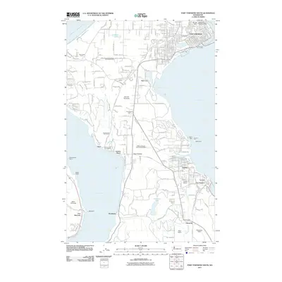 2011 Port Townsend South2011 Print · USGSThe southern Quimper Peninsula and its maritime corridors are detailed here in the early twenty-first century. Researchers can trace local development around Irondale and Port Hadlock or locate family landmarks near Adelma Beach and the Chimacum Valley.
 - 2011 Map of Gardiner, 2011 Print
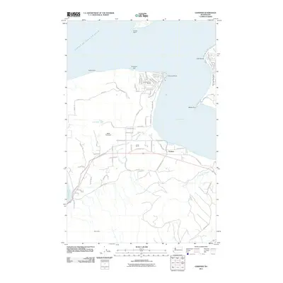 2011 Gardiner2011 Print · USGSThe coastal community of Gardiner and the surrounding Olympic Peninsula terrain are shown here in the early twenty-first century. Researchers can trace land use from the J and D East Pit to local landmarks like the Diamond Point Airstrip and Gardiner Cemetery Rd.
 - 2014 Map of Port Townsend South, 2014 Print
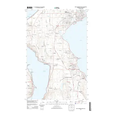 2014 Port Townsend South2014 Print · USGSCoastal Jefferson County comes into focus in this mid-2010s survey of the Quimper Peninsula and its surrounding waters. Trace local maritime and aviation history through the Port Townsend Ferry Landing, Adelma Beach, and the Jefferson County International Airport.
 - 2014 Map of Gardiner, 2014 Print
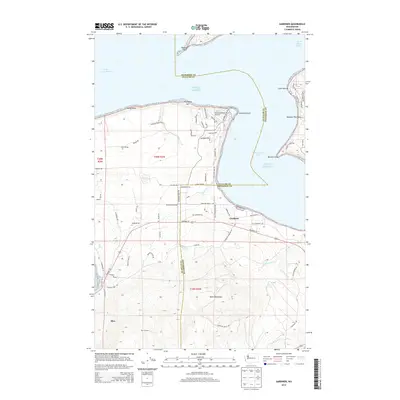 2014 Gardiner2014 Print · USGSCoastal Jefferson County comes to life in the early twenty-first century as the Olympic Highway winds through Gardiner and Blyn. Genealogists and historians can trace local landmarks like Gardiner Cemetery, the Diamond Point Airstrip, and the shoreline of Discovery Bay.
 - 2017 Map of Port Townsend South, 2017 Print
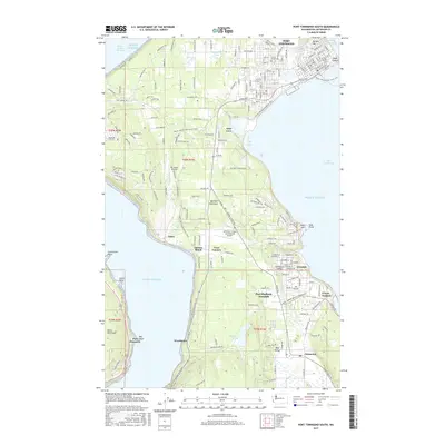 2017 Port Townsend South2017 Print · USGSThe Quimper Peninsula in the late 2010s shows a unique mix of maritime towns and inland forests. Trace the growth of Port Hadlock-Irondale, locate Laurel Grove Cem, and follow the Pacific NW National Scenic Trail.
 - 2017 Map of Gardiner, 2017 Print
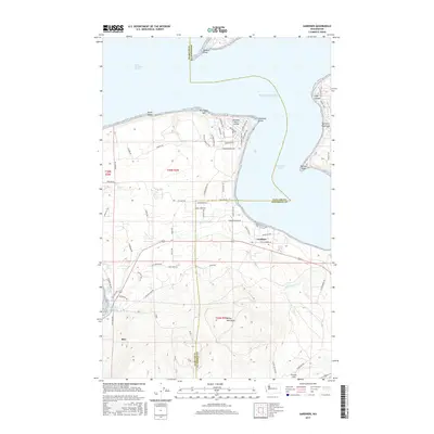 2017 Gardiner2017 Print · USGSThe northeastern Olympic Peninsula coastline is captured here in the early twenty-first century, showing the transition from the Strait of Juan de Fuca into Discovery Bay. Researchers can trace rural settlement patterns around Gardiner and Blyn, or locate aviation landmarks like the Diamond Point Airstrip.
 - 2020 Map of Port Townsend South, 2020 Print
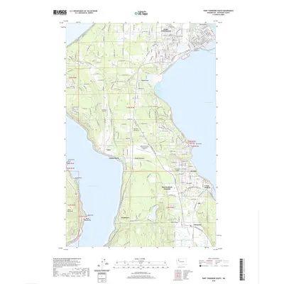 2020 Port Townsend South2020 Print · USGSThe Olympic Peninsula's eastern shores come into focus in this recent survey of Jefferson County's maritime and rural landscapes. Researchers can locate the Jefferson County Courthouse, trace the Pacific NW National Scenic Trail, and explore the layout of Port Hadlock-Irondale.
 - 2020 Map of Gardiner, 2020 Print
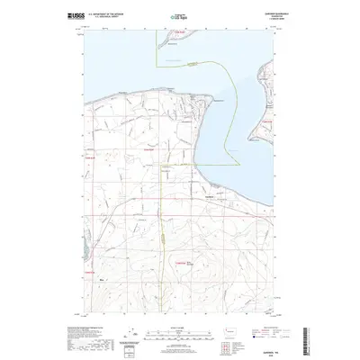 2020 Gardiner2020 Print · USGSCoastal Jefferson County meets the sound in 2020, where the settlements of Gardiner and Diamond Point frame Discovery Bay. Researchers can trace trail networks and local landmarks like Diamond Point Airstrip, Beckett Point, and the Miller Peninsula shoreline.
 - 2023 Map of Gardiner, 2023 Print
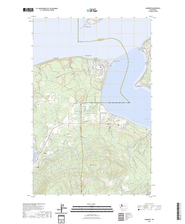 2023 Gardiner2023 Print · USGSThe Olympic Peninsula's eastern shoreline comes into focus in this contemporary study of the bays and points between Blyn and Gardiner. Trace local lineages and coastal development through the Gardiner Cem, Diamond Point Airstrip, and Thompson Spit.
 - 2023 Map of Port Townsend South, 2023 Print
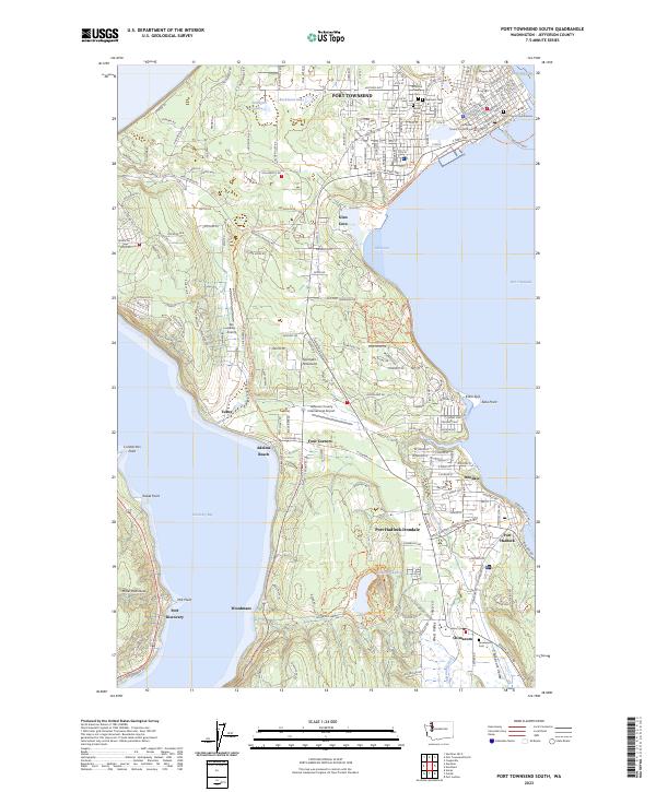 2023 Port Townsend South2023 Print · USGSJefferson County’s maritime and rural landscapes are meticulously detailed in this recent survey of the Quimper Peninsula. Researchers can trace property lines and landmarks from Port Townsend down to Port Hadlock-Irondale and the Greenwood Cem in Chimacum.
End of results
Showing maps 1-16 of 16
Top cities near Cape George Colony Club
- Oak Harbor historical maps
- Port Townsend historical maps
- Sequim historical maps
- Port Hadlock historical maps
- Port Ludlow historical maps
- Coupeville historical maps
See more
Frequently asked questions
- What are the different types of historical maps available for Cape George Colony Club?
- What is the oldest map of Cape George Colony Club?
- Where can I purchase historical maps of Cape George Colony Club for my home or office?
- Where can I download high-res historical maps of Cape George Colony Club?
- Are there historical topographic maps available for Cape George Colony Club?
- Is there historical aerial imagery available for Cape George Colony Club?
- Where are historical maps of Cape George Colony Club sourced from?