Old Maps of Maynard, Washington for Hiking & Exploration
Hike through history with 12 historic maps of Maynard. Explore old trails, ghost towns, and forgotten backroads — perfect for outdoor adventurers and local explorers.
- Rediscover forgotten places: Map out old mining camps, roads, and footpaths that no longer exist on modern maps.
- Layer with modern tools: Combine with LiDAR or satellite views to plan hikes through historical terrain.
- Made for exploration: Popular among hikers, overlanders, and local history lovers.
Use these maps to find adventure and explore the hidden past of Maynard.
Maynard, WA maps
(12)- 1940 Map of Quilcene
 1940 Quilcene1940 Print · USGSThe Olympic Peninsula shoreline and timbered foothills are captured here during the late pre-war era, from the heights of Mt Walker to the depths of Dabob Bay. Researchers can trace early logging operations at Mc Cormack Lumber Co or locate civic landmarks like the Port Townsend Dam and US Fish Hatchery.
 - 1953 Map of Uncas, 1955 Print
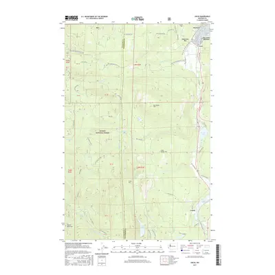
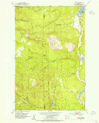 1953 Uncas1955 Print · USGSJefferson County’s coastal forests and timber-focused rail lines are captured here in the early fifties. Local historians can trace the old Olympic P & P RR through the settlements of Uncas and Leland, or locate the Uncas Sch and Snow Creek Guard Sta.4 unique versions available
 - 1958 Map of Seattle, 1966 Print
 1958 Seattle1966 Print · USGSThe Puget Sound region in the mid-fifties showcases a balance of urban growth and Olympic wilderness. Trace the industrial waterfronts of Tacoma, old naval facilities like Keyport Naval Res, and mountain peaks like Mount Constance.3 unique versions available
 - 1962 Map of Seattle
 1962 Seattle1962 Print · USGSThe Puget Sound region and Olympic Peninsula are shown at a peak of mid-century growth. Genealogists and historians can trace rail lines like the Pacific Coast RR or locate landmarks such as Fort Lawton and the Bothell Power Station.
 - 1975 Map of Seattle, 1977 Print
 1975 Seattle1977 Print · USGSThe Puget Sound region in the mid-seventies shows a landscape of rapid suburban growth and vital maritime industry. Researchers can trace the development of Eastside hubs like Bellevue or examine the rail and naval infrastructure of Bremerton and Paine Field.
 - 1992 Map of Seattle, 1993 Print
 1992 Seattle1993 Print · USGSThe Seattle metropolitan area and Puget Sound are shown here in the early nineties during a period of rapid suburban and technological growth. Researchers can trace the development of Mercer Island, locate the Bangor Naval Submarine Base, and study the industrial layout of Boeing Field.2 unique versions available
 - 1995 Map of Uncas, 1998 Print
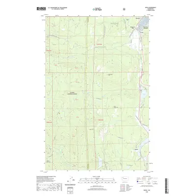
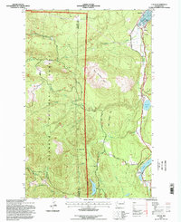 1995 Uncas1998 Print · USGSJefferson County's rugged peninsula terrain is documented in the mid-nineties, showing the intersection of mountain timberlands and coastal settlements. Genealogists and locals can trace the Uncas Sch and rural outposts like Maynard, Uncas, and Leland.
 - 2011 Map of Uncas, 2011 Print
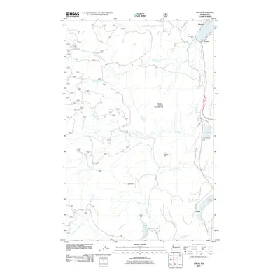 2011 Uncas2011 Print · USGSCovers Maynard, including Uncas, Discovery Bay, and other nearby areas
 - 2014 Map of Uncas, 2014 Print
 2014 Uncas2014 Print · USGSCovers Maynard, including Uncas, Discovery Bay, and other nearby areas
 - 2017 Map of Uncas, 2017 Print
 2017 Uncas2017 Print · USGSCovers Maynard, including Uncas, Discovery Bay, and other nearby areas
 - 2020 Map of Uncas, 2020 Print
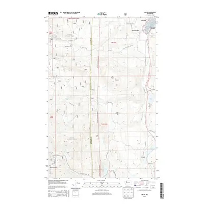
 2020 Uncas2020 Print · USGSCovers Maynard, including Uncas, Discovery Bay, and other nearby areas
 - 2023 Map of Uncas, 2023 Print
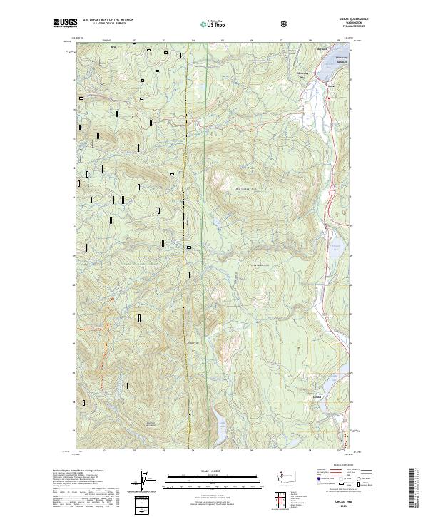 2023 Uncas2023 Print · USGSCoastal Jefferson County meets the deep woods of the Olympic Peninsula in this modern survey of the Discovery Bay area. Genealogists and hikers can trace the connection between historic settlements like Uncas and Leland or follow the Pacific Northwest National Scenic Trl past Big Skidder Hill.
End of results
Showing maps 1-12 of 12
Top cities near Maynard
- Poulsbo historical maps
- Port Townsend historical maps
- Sequim historical maps
- Port Hadlock historical maps
- Port Ludlow historical maps
- Coupeville historical maps
See more
Frequently asked questions
- What are the different types of historical maps available for Maynard?
- What is the oldest map of Maynard?
- Where can I purchase historical maps of Maynard for my home or office?
- Where can I download high-res historical maps of Maynard?
- Are there historical topographic maps available for Maynard?
- Is there historical aerial imagery available for Maynard?
- Where are historical maps of Maynard sourced from?