Old Maps of Crofton Heights, Covington for Genealogy
Trace your family roots with 33 historic maps of Crofton Heights. These high-res maps reveal old neighborhoods, homesites, landmarks, and streets — helping you uncover where your ancestors lived and how the area evolved over time.
- Explore historic neighborhoods: Identify where your relatives may have lived in the 1800s or 1900s.
- Compare maps over time: Trace the changes in streets, buildings, and landmarks for multi-generational research.
- Perfect for genealogy & ancestry research: Used by family historians and researchers to map out lineage and migration.
These maps are an incredible resource for exploring your personal connection to Crofton Heights's past.
Crofton Heights, Covington maps
(33)- 1897 Map of Tacoma
 1897 Tacoma1897 Print · USGSPuget Sound and the Tacoma waterfront come alive in the late 1890s, when coal railroads and river valleys drove regional growth. Genealogists can trace family roots in early island settlements like Chautauqua or inland rail towns such as Black Diamond and Wilkeson.2 unique versions available
 - 1900 Map of Tacoma
 1900 Tacoma1900 Print · USGSThe Puget Sound region was a hive of rail and maritime activity at the end of the Victorian era. Researchers can trace early settlements like Chautauqua, identify tribal lands at the Muckleshoot Indian Reservation, and locate mining towns such as Black Diamond.9 unique versions available
 - 1949 Map of Maple Valley, 1956 Print
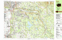
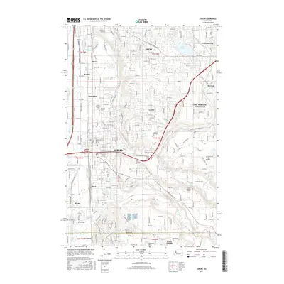
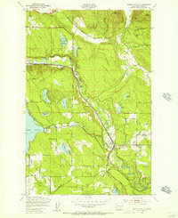 1949 Maple Valley1956 Print · USGSMaple Valley and its surrounding coal-rich mountains are documented here just after the war, showing the area's transition from mining to rural community life. Researchers can trace the Pacific Coast RR line past the Indian Coal Mine (Abandoned) and locate local landmarks like the Highline Cem and Maple Valley Sch.3 unique versions available
 - 1949 Map of Black Diamond, 1956 Print
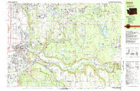
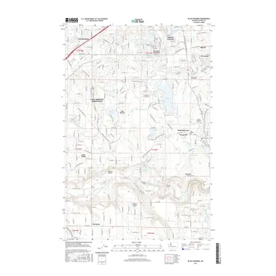
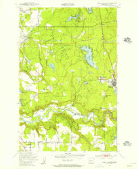 1949 Black Diamond1956 Print · USGSThe coal and timber country of King County is captured here just after the war, showing the industrial heart of Black Diamond and its rail connections. Genealogists can locate family sites near Morganville, the local Cem, or the Muckleshoot Indian Reservation.6 unique versions available
 - 1949 Map of Renton, 1956 Print
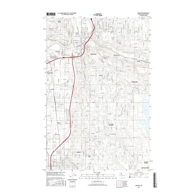
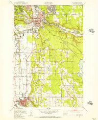 1949 Renton1956 Print · USGSRenton and the Green River Valley are seen here in the late 1940s at the height of their rail-and-river industrial era. Researchers can trace the massive rail networks of the Union Pacific, locate the Longacres Race Track, or find family plots at Greenwood Cem.5 unique versions available
 - 1949 Map of Auburn, 1956 Print
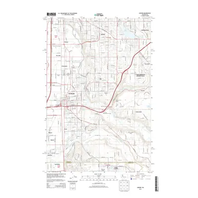
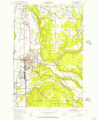 1949 Auburn1956 Print · USGSThe Green River valley at the close of the 1940s shows a landscape of growing towns and heavy rail infrastructure. Trace the early layout of Auburn and its General Depot, alongside landmarks like White Lake and the Muckleshoot Indian Reservation.5 unique versions available
 - 1958 Map of Seattle, 1966 Print
 1958 Seattle1966 Print · USGSThe Puget Sound region in the mid-fifties showcases a balance of urban growth and Olympic wilderness. Trace the industrial waterfronts of Tacoma, old naval facilities like Keyport Naval Res, and mountain peaks like Mount Constance.3 unique versions available
 - 1962 Map of Seattle
 1962 Seattle1962 Print · USGSThe Puget Sound region and Olympic Peninsula are shown at a peak of mid-century growth. Genealogists and historians can trace rail lines like the Pacific Coast RR or locate landmarks such as Fort Lawton and the Bothell Power Station.
 - 1975 Map of Tacoma, 1977 Print
 1975 Tacoma1977 Print · USGSThe Puget Sound region in the mid-seventies reveals a landscape of growing urban centers and massive federal installations. Genealogists and historians can trace the development of Tacoma and Olympia, or locate landmarks like the McNeil Island Penitentiary and Fort Lewis Military Reservation.
 - 1983 Map of Renton
 1983 Renton1983 Print · USGSRenton and the Cedar River valley are shown here in the early eighties as suburban growth began to surround the massive Lake Youngs Watershed. Researchers can trace local landmarks like Greenwood Cem, the Burlington Northern railroad, and established neighborhoods from Bryn Mawr to Maple Valley.
 - 1983 Map of Auburn
 1983 Auburn1983 Print · USGSThe Green River valley and its surrounding plateaus come into focus in the early eighties as residential growth meets deep-rooted industrial corridors. Genealogists and historians can locate family landmarks like the Muckleshoot Indian Reservation, Black Diamond, and Auburn Adventist Academy.
 - 1991 Map of Tacoma
 1991 Tacoma1991 Print · USGSThe South Sound and Tacoma waterfront appear here in the early nineties, showing a landscape defined by deep-water inlets and massive federal installations. Researchers can trace the development of Lakewood Center or locate the historic rail lines of the Burlington Northern Railroad and Union Pacific Railroad.
 - 1995 Map of Maple Valley
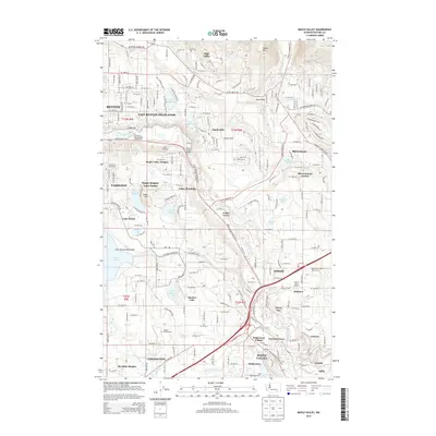
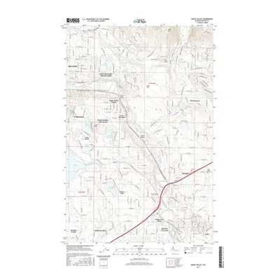
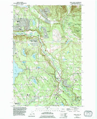 1995 Maple Valley1995 Print · USGSThe Cedar River valley in the mid-1990s shows a landscape of growing residential enclaves and protected waters. Researchers can trace suburban development around Maple Valley or locate local landmarks like Dorre Don and the Lake Youngs Watershed.
 - 2011 Map of Maple Valley, 2011 Print
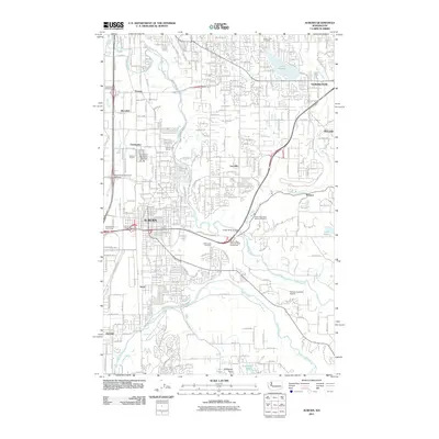
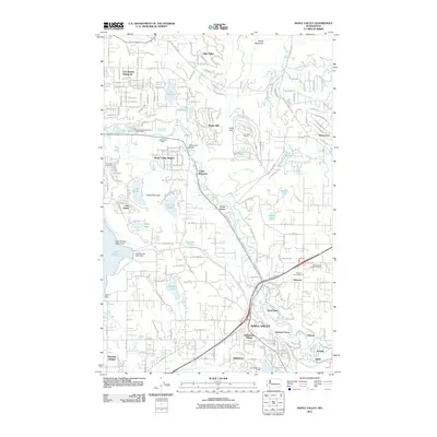 2011 Maple Valley2011 Print · USGSCovers Crofton Heights, including Renton, Maple Valley, and other nearby areas
 - 2011 Map of Auburn, 2011 Print
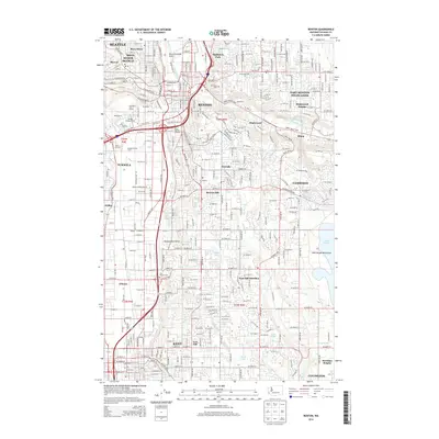
 2011 Auburn2011 Print · USGSCovers Crofton Heights, including Kent, Auburn, and other nearby areas
 - 2011 Map of Renton, 2011 Print
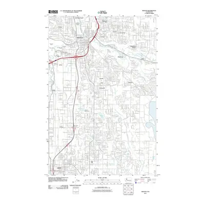 2011 Renton2011 Print · USGSCovers Crofton Heights, including Seattle, Kent, and other nearby areas
 - 2011 Map of Black Diamond, 2011 Print
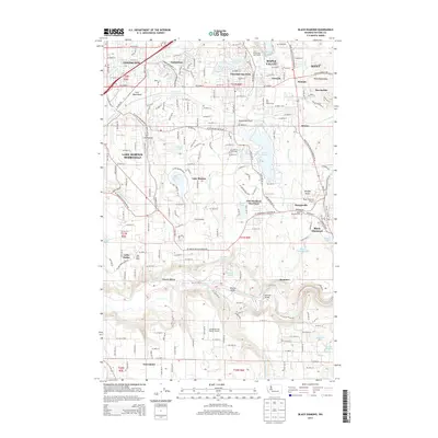
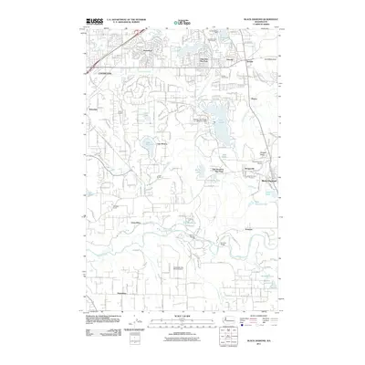 2011 Black Diamond2011 Print · USGSCovers Crofton Heights, including Kent, Maple Valley, and other nearby areas
 - 2014 Map of Renton, 2014 Print
 2014 Renton2014 Print · USGSCovers Crofton Heights, including Seattle, Kent, and other nearby areas
 - 2014 Map of Black Diamond, 2014 Print
 2014 Black Diamond2014 Print · USGSCovers Crofton Heights, including Kent, Maple Valley, and other nearby areas
 - 2014 Map of Auburn, 2014 Print
 2014 Auburn2014 Print · USGSCovers Crofton Heights, including Kent, Auburn, and other nearby areas
 - 2014 Map of Maple Valley, 2014 Print
 2014 Maple Valley2014 Print · USGSCovers Crofton Heights, including Renton, Maple Valley, and other nearby areas
 - 2017 Map of Black Diamond, 2017 Print
 2017 Black Diamond2017 Print · USGSCovers Crofton Heights, including Kent, Maple Valley, and other nearby areas
 - 2017 Map of Auburn, 2017 Print
 2017 Auburn2017 Print · USGSCovers Crofton Heights, including Kent, Auburn, and other nearby areas
 - 2017 Map of Maple Valley, 2017 Print
 2017 Maple Valley2017 Print · USGSCovers Crofton Heights, including Renton, Maple Valley, and other nearby areas
 - 2017 Map of Renton, 2017 Print
 2017 Renton2017 Print · USGSCovers Crofton Heights, including Seattle, Kent, and other nearby areas
Showing maps 1-25 of 33
Frequently asked questions
- What are the different types of historical maps available for Crofton Heights?
- What is the oldest map of Crofton Heights?
- Where can I purchase historical maps of Crofton Heights for my home or office?
- Where can I download high-res historical maps of Crofton Heights?
- Are there historical topographic maps available for Crofton Heights?
- Is there historical aerial imagery available for Crofton Heights?
- Where are historical maps of Crofton Heights sourced from?