2000s (21st Century) Maps of Federal Way, Washington
Explore 10 historic maps of Federal Way from the 2000s (21st Century). These maps offer a rare glimpse into what life looked like during the 2000s — showing old roads, neighborhoods, homes, and landmarks that have changed or disappeared over time.
Whether you're researching your family's past, planning a metal detecting trip, or studying how Federal Way's landscape evolved across the 2000s, these high-resolution maps are a powerful tool for exploring the history of this region.
- Focus on a specific era: All maps on this page are from the 2000s, giving you a focused view of this time period.
- See what’s changed: Compare century-old streets, trails, and buildings to today's modern landscape using overlays and satellite layers.
- Research with precision: Use these maps for genealogy, historical research, land use analysis, or educational projects.
- View, download, or print: Maps are fully viewable online in high resolution, and can be downloaded or printed for your own records.
Start exploring Federal Way's history through authentic maps from the 2000s. This is your window into the past.
Federal Way, WA maps
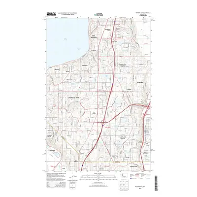
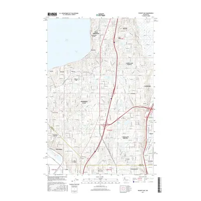
(10)- 2011 Map of Poverty Bay, 2011 Print
 2011 Poverty Bay2011 Print · USGSCovers Federal Way, including Tacoma, Kent, and other nearby areas
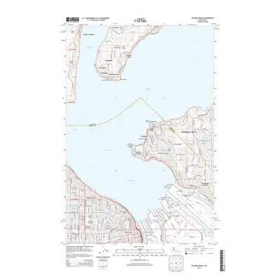
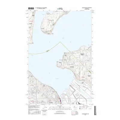
 - 2011 Map of Tacoma North, 2011 Print
 2011 Tacoma North2011 Print · USGSCovers Federal Way, including Tacoma, Browns Point, and other nearby areas
 - 2014 Map of Poverty Bay, 2014 Print
 2014 Poverty Bay2014 Print · USGSCovers Federal Way, including Tacoma, Kent, and other nearby areas
 - 2014 Map of Tacoma North, 2014 Print
 2014 Tacoma North2014 Print · USGSCovers Federal Way, including Tacoma, Browns Point, and other nearby areas
 - 2017 Map of Poverty Bay, 2017 Print
 2017 Poverty Bay2017 Print · USGSCovers Federal Way, including Tacoma, Kent, and other nearby areas
 - 2017 Map of Tacoma North, 2017 Print
 2017 Tacoma North2017 Print · USGSCovers Federal Way, including Tacoma, Browns Point, and other nearby areas
 - 2020 Map of Poverty Bay, 2020 Print
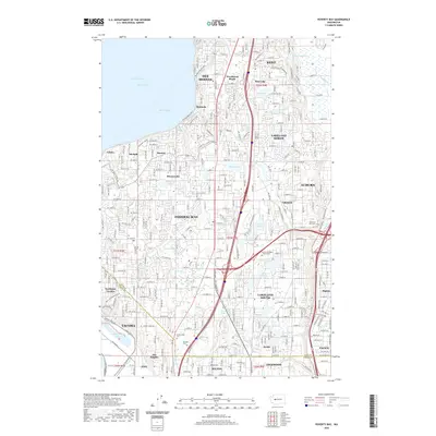 2020 Poverty Bay2020 Print · USGSCovers Federal Way, including Tacoma, Kent, and other nearby areas
 - 2020 Map of Tacoma North, 2020 Print
 2020 Tacoma North2020 Print · USGSCovers Federal Way, including Tacoma, Browns Point, and other nearby areas
 - 2023 Map of Poverty Bay, 2023 Print
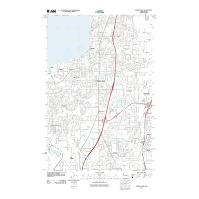
 2023 Poverty Bay2023 Print · USGSThe Puget Sound shoreline and the burgeoning plateau between Seattle and Tacoma are captured here during a period of intense suburban and industrial growth. Researchers can trace family history through Gethsemane Cem and Mountain View Cem or locate old neighborhood boundaries in Woodmont Beach and Lakota.
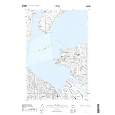
 - 2023 Map of Tacoma North, 2023 Print
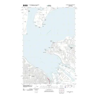
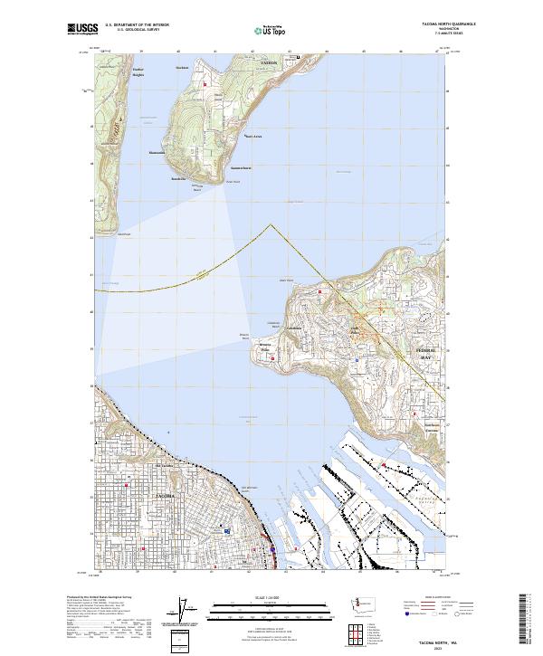 2023 Tacoma North2023 Print · USGSThe Tacoma waterfront and Vashon Island shoreline are captured here in a moment of modern maritime industry and coastal growth. Trace the deep-water channels of Commencement Bay or locate historical landmarks like the Maury Island Cem and Old Tacoma.
End of results
Showing maps 1-10 of 10
Top cities near Federal Way
- Seattle historical maps
- Tacoma historical maps
- Kent historical maps
- Renton historical maps
- Auburn historical maps
- South Hill historical maps
See more
Top neighborhoods of Federal Way
- Buenna historical maps
- Avana Star Lake historical maps
- Mirror Lake Highland historical maps
- Puget Sound Hills historical maps
- Belmor Mobile Home Park historical maps
- Twin Lakes historical maps
See more
Frequently asked questions
- What are the different types of historical maps available for Federal Way?
- What is the oldest map of Federal Way?
- Where can I purchase historical maps of Federal Way for my home or office?
- Where can I download high-res historical maps of Federal Way?
- Are there historical topographic maps available for Federal Way?
- Is there historical aerial imagery available for Federal Way?
- Where are historical maps of Federal Way sourced from?