2020s Maps of Issaquah, Washington
Explore 4 historic maps of Issaquah from the 2020s. These maps offer a rare glimpse into what life looked like during the 2020s — showing old roads, neighborhoods, homes, and landmarks that have changed or disappeared over time.
Whether you're researching your family's past, planning a metal detecting trip, or studying how Issaquah's landscape evolved across the 2020s, these high-resolution maps are a powerful tool for exploring the history of this region.
- Focus on a specific era: All maps on this page are from the 2020s, giving you a focused view of this time period.
- See what’s changed: Compare century-old streets, trails, and buildings to today's modern landscape using overlays and satellite layers.
- Research with precision: Use these maps for genealogy, historical research, land use analysis, or educational projects.
- View, download, or print: Maps are fully viewable online in high resolution, and can be downloaded or printed for your own records.
Start exploring Issaquah's history through authentic maps from the 2020s. This is your window into the past.
Issaquah, WA maps
(4)- 2020 Map of Issaquah, 2020 Print
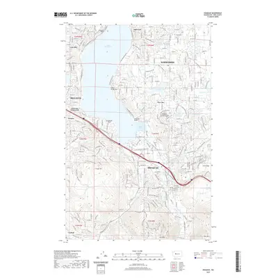 2020 Issaquah2020 Print · USGSCovers Issaquah, including Bellevue, Sammamish, and other nearby areas
 - 2020 Map of Fall City, 2020 Print
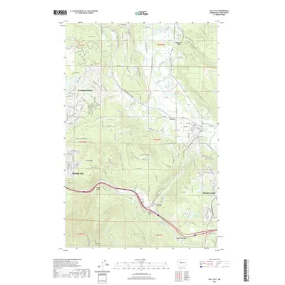 2020 Fall City2020 Print · USGSCovers Issaquah, including Sammamish, Snoqualmie, and other nearby areas
 - 2023 Map of Fall City, 2023 Print
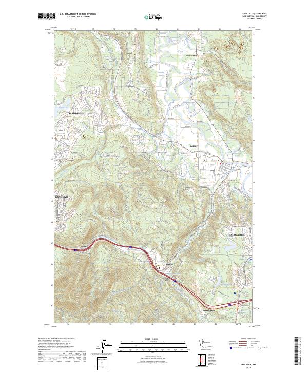 2023 Fall City2023 Print · USGSThe Snoqualmie River valley is captured here in the early twenty-first century, showing the interface between growing suburbs and timber-industry heritage. Trace local genealogy and history through the Fall City Cem, the waters of Preston Mill Pond, and landmarks like Teaters Bluff.
 - 2023 Map of Issaquah, 2023 Print
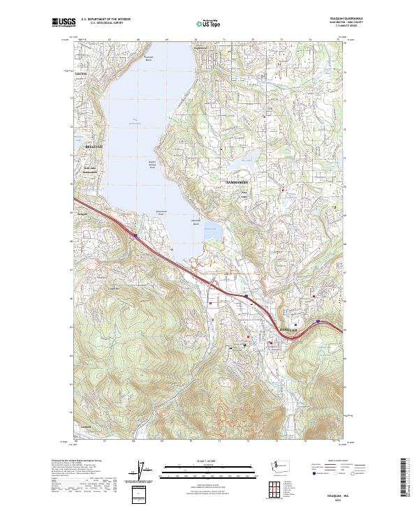 2023 Issaquah2023 Print · USGSThe Eastside foothills and Sammamish Plateau are shown in detail as they appeared in 2023. Genealogists and hikers can trace sites from Hillside Cem to the high points of Cougar Mtn and Squak Mtn.
End of results
Showing maps 1-4 of 4
Top cities near Issaquah
- Seattle historical maps
- Bellevue historical maps
- Kent historical maps
- Renton historical maps
- Kirkland historical maps
- Auburn historical maps
See more
Top neighborhoods of Issaquah
- Ruth Kees Grove historical maps
- Issaquah Highlands historical maps
- Arbor Springs historical maps
- Pickering Estates historical maps
- Spyglass Hill historical maps
- Sycamore historical maps
See more
Frequently asked questions
- What are the different types of historical maps available for Issaquah?
- What is the oldest map of Issaquah?
- Where can I purchase historical maps of Issaquah for my home or office?
- Where can I download high-res historical maps of Issaquah?
- Are there historical topographic maps available for Issaquah?
- Is there historical aerial imagery available for Issaquah?
- Where are historical maps of Issaquah sourced from?