Old Maps of Alki, Seattle for Metal Detecting
Plan your next treasure hunt with 17 historic maps of Alki. Find old homesites, ghost towns, trails, and gathering spots that may be lost to time — perfect for identifying promising metal detecting locations.
- Locate forgotten sites: Uncover places like long-lost settlements, abandoned rail lines, or gathering spots.
- Plan better hunts: Use map overlays combined with LiDAR or satellite views to narrow in on historically rich areas.
- Made for detectorists: Thousands of hobbyists use these maps to discover relics, coins, and hidden history.
Use these historic maps to boost your research and find new opportunities beneath the surface of Alki.
Alki, Seattle maps
(17)- 1894 Map of Seattle, 1903 Print
 1894 Seattle1903 Print · USGSSeattle and its surrounding bay-side towns come alive in the 1890s, showing the region before modern industrialization reshaped the shoreline. Researchers can trace the original courses of the Dwamish River and locate early settlements like Ballard, West Seattle, and Ravenna.2 unique versions available
 - 1895 Map of Snohomish, 1954 Print
 1895 Snohomish1954 Print · USGSThe Puget Sound region in the late nineteenth century is documented here as Seattle and Everett rapidly expand via a growing rail network. Genealogists and historians can trace early waterfront settlements and inland junctions such as Mukilteo, Woodinville, and the grounds of Ft. Lawton.
 - 1897 Map of Seattle
 1897 Seattle1897 Print · USGSThe Puget Sound region is seen here in the late nineteenth century as the rail-and-water economy flourished. Genealogists and historians can trace early landings and rail stops like Curtis Landing, Moorland, and Kirkland Junction.10 unique versions available
 - 1908 Map of Seattle, 1955 Print
 1908 Seattle1955 Print · USGSSeattle's maritime and urban landscape is captured during a period of rapid growth and international attention. Genealogists and historians can trace neighborhood development near Ballard, the site of the Alaska-Yukon-Pacific Exposition, and landmarks like Fort Lawton.2 unique versions available
 - 1909 Map of Seattle Special
 1909 Seattle Special1909 Print · USGSThe Seattle waterfront and its surrounding hills appear here during the year of the Alaska-Yukon-Pacific Exposition. Genealogists and historians can trace early city neighborhoods and rail lines like the Seattle-Everett Interurban or locate Lakeview Cemetery and Fort Lawton.4 unique versions available
 - 1949 Map of Duwamish Head, 1956 Print
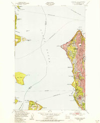 1949 Duwamish Head1956 Print · USGSThe Seattle waterfront and Puget Sound islands are captured here in the years following World War II, when ferries were the lifeblood of the sound. Genealogists and local historians can trace the development of West Seattle, Fauntleroy, and Vashon Heights alongside landmarks like Lafayette Sch and the Laurel Beach Sanatorium.3 unique versions available
 - 1958 Map of Seattle, 1966 Print
 1958 Seattle1966 Print · USGSThe Puget Sound region in the mid-fifties showcases a balance of urban growth and Olympic wilderness. Trace the industrial waterfronts of Tacoma, old naval facilities like Keyport Naval Res, and mountain peaks like Mount Constance.3 unique versions available
 - 1962 Map of Seattle
 1962 Seattle1962 Print · USGSThe Puget Sound region and Olympic Peninsula are shown at a peak of mid-century growth. Genealogists and historians can trace rail lines like the Pacific Coast RR or locate landmarks such as Fort Lawton and the Bothell Power Station.
 - 1968 Map of Duwamish Head, 1969 Print
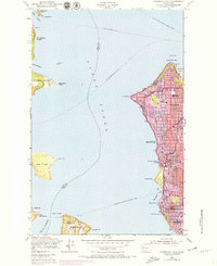 1968 Duwamish Head1969 Print · USGSThe western shores of Seattle and its surrounding islands are captured during a period of significant growth in the late sixties. Trace established neighborhoods like Fauntleroy and maritime landmarks such as Duwamish Head and the ferry to Vashon Heights.
 - 1975 Map of Seattle, 1977 Print
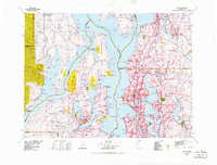 1975 Seattle1977 Print · USGSThe Puget Sound region in the mid-seventies shows a landscape of rapid suburban growth and vital maritime industry. Researchers can trace the development of Eastside hubs like Bellevue or examine the rail and naval infrastructure of Bremerton and Paine Field.
 - 1983 Map of Seattle South
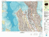 1983 Seattle South1983 Print · USGSSeattle in the early eighties shows a dense urban landscape defined by its bustling harbor and growing infrastructure. Researchers can trace the development of Rainier Valley, the industrial footprint of Harbor Island, and the sites of landmarks like the Kingdome and Seattle Center.3 unique versions available
 - 1992 Map of Seattle, 1993 Print
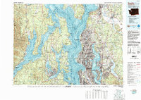 1992 Seattle1993 Print · USGSThe Seattle metropolitan area and Puget Sound are shown here in the early nineties during a period of rapid suburban and technological growth. Researchers can trace the development of Mercer Island, locate the Bangor Naval Submarine Base, and study the industrial layout of Boeing Field.2 unique versions available
 - 2011 Map of Duwamish Head, 2011 Print
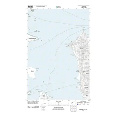 2011 Duwamish Head2011 Print · USGSThe West Seattle shoreline and the waters of the East Passage are captured here in the early 21st century. Trace the maritime networks connecting Vashon Heights and Southworth via the Fauntleroy Ferry Landing.
 - 2014 Map of Duwamish Head, 2014 Print
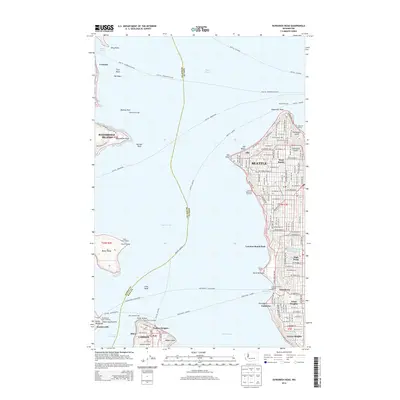 2014 Duwamish Head2014 Print · USGSThe waters of Puget Sound and the shores of West Seattle are documented here in the early twenty-first century, highlighting the region's essential ferry-based transit network. Researchers can trace the residential development of Arroyo Heights or locate maritime landmarks like Seacrest Marina and Vashon Ferry Landing.
 - 2017 Map of Duwamish Head, 2017 Print
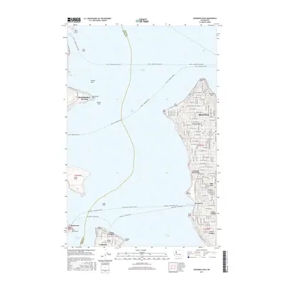 2017 Duwamish Head2017 Print · USGSThe western shoreline of Seattle and the northern tip of Vashon Island meet in this recent maritime-focused survey. Trace the vital ferry connections to Bainbridge Island and explore the residential street grids of West Seattle and Arbor Heights.
 - 2020 Map of Duwamish Head, 2020 Print
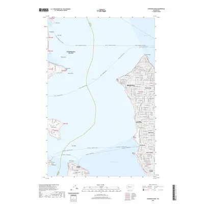 2020 Duwamish Head2020 Print · USGSModern maritime Seattle comes to life in this recent survey of the sound and its surrounding coastal communities. Genealogists and historians can trace the ferry networks and residential grids of Fauntleroy, Vashon Heights, and Arroyo Heights.
 - 2023 Map of Duwamish Head, 2023 Print
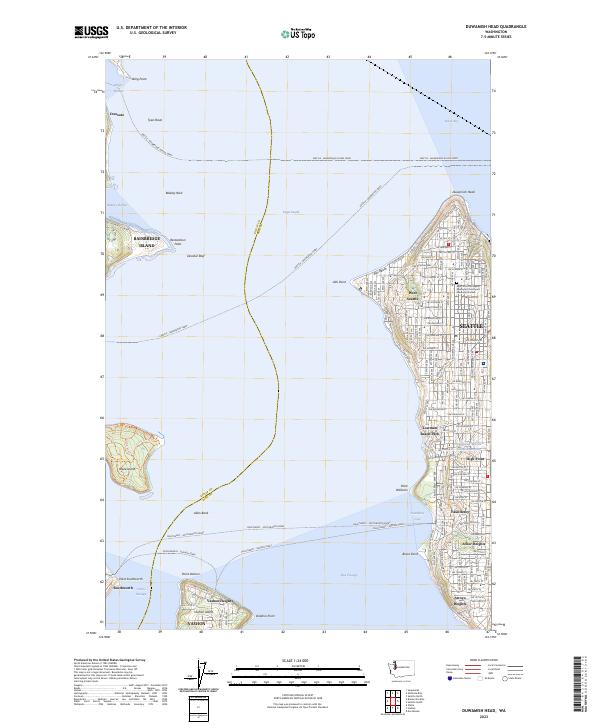 2023 Duwamish Head2023 Print · USGSThe maritime crossroads of the Puget Sound come alive here, showing the intricate ferry systems connecting West Seattle to Bainbridge and Vashon Islands. Researchers can trace local neighborhoods and landmarks like Alki Beach, Fauntleroy, and the Saint John the Baptist Episcopal Churchyard Memorial Garden.
End of results
Showing maps 1-17 of 17
Frequently asked questions
- What are the different types of historical maps available for Alki?
- What is the oldest map of Alki?
- Where can I purchase historical maps of Alki for my home or office?
- Where can I download high-res historical maps of Alki?
- Are there historical topographic maps available for Alki?
- Is there historical aerial imagery available for Alki?
- Where are historical maps of Alki sourced from?