Old Maps of Carleton Park, Seattle for Hiking & Exploration
Hike through history with 16 historic maps of Carleton Park. Explore old trails, ghost towns, and forgotten backroads — perfect for outdoor adventurers and local explorers.
- Rediscover forgotten places: Map out old mining camps, roads, and footpaths that no longer exist on modern maps.
- Layer with modern tools: Combine with LiDAR or satellite views to plan hikes through historical terrain.
- Made for exploration: Popular among hikers, overlanders, and local history lovers.
Use these maps to find adventure and explore the hidden past of Carleton Park.
Carleton Park, Seattle maps
(16)- 1894 Map of Seattle, 1903 Print
 1894 Seattle1903 Print · USGSSeattle and its surrounding bay-side towns come alive in the 1890s, showing the region before modern industrialization reshaped the shoreline. Researchers can trace the original courses of the Dwamish River and locate early settlements like Ballard, West Seattle, and Ravenna.2 unique versions available
 - 1895 Map of Snohomish, 1954 Print
 1895 Snohomish1954 Print · USGSThe Puget Sound region in the late nineteenth century is documented here as Seattle and Everett rapidly expand via a growing rail network. Genealogists and historians can trace early waterfront settlements and inland junctions such as Mukilteo, Woodinville, and the grounds of Ft. Lawton.
 - 1897 Map of Seattle
 1897 Seattle1897 Print · USGSThe Puget Sound region is seen here in the late nineteenth century as the rail-and-water economy flourished. Genealogists and historians can trace early landings and rail stops like Curtis Landing, Moorland, and Kirkland Junction.10 unique versions available
 - 1908 Map of Seattle, 1955 Print
 1908 Seattle1955 Print · USGSSeattle's maritime and urban landscape is captured during a period of rapid growth and international attention. Genealogists and historians can trace neighborhood development near Ballard, the site of the Alaska-Yukon-Pacific Exposition, and landmarks like Fort Lawton.2 unique versions available
 - 1909 Map of Seattle Special
 1909 Seattle Special1909 Print · USGSThe Seattle waterfront and its surrounding hills appear here during the year of the Alaska-Yukon-Pacific Exposition. Genealogists and historians can trace early city neighborhoods and rail lines like the Seattle-Everett Interurban or locate Lakeview Cemetery and Fort Lawton.4 unique versions available
 - 1949 Map of Shilshole Bay, 1954 Print
 1949 Shilshole Bay1954 Print · USGSSeattle's northwestern waterfront is captured in the mid-century as neighborhoods like Ballard and Loyal Heights expand near the industrial shore. Trace the rail lines of the Great Northern and find historic sites like Fort Lawton and West Point Light.4 unique versions available
 - 1958 Map of Seattle, 1966 Print
 1958 Seattle1966 Print · USGSThe Puget Sound region in the mid-fifties showcases a balance of urban growth and Olympic wilderness. Trace the industrial waterfronts of Tacoma, old naval facilities like Keyport Naval Res, and mountain peaks like Mount Constance.3 unique versions available
 - 1962 Map of Seattle
 1962 Seattle1962 Print · USGSThe Puget Sound region and Olympic Peninsula are shown at a peak of mid-century growth. Genealogists and historians can trace rail lines like the Pacific Coast RR or locate landmarks such as Fort Lawton and the Bothell Power Station.
 - 1975 Map of Seattle, 1977 Print
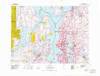 1975 Seattle1977 Print · USGSThe Puget Sound region in the mid-seventies shows a landscape of rapid suburban growth and vital maritime industry. Researchers can trace the development of Eastside hubs like Bellevue or examine the rail and naval infrastructure of Bremerton and Paine Field.
 - 1983 Map of Seattle North
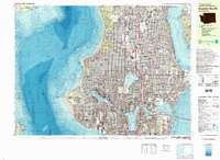 1983 Seattle North1983 Print · USGSNorth Seattle and its surrounding waters are captured here in the early eighties, showcasing the city's dense residential expansion and maritime heritage. Genealogists and historians can trace neighborhood developments from Ballard to Wedgwood or locate local institutions like Acacia Mem Park (Cem) and the University of Washington.2 unique versions available
 - 1992 Map of Seattle, 1993 Print
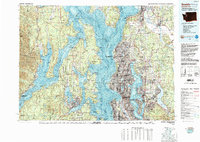 1992 Seattle1993 Print · USGSThe Seattle metropolitan area and Puget Sound are shown here in the early nineties during a period of rapid suburban and technological growth. Researchers can trace the development of Mercer Island, locate the Bangor Naval Submarine Base, and study the industrial layout of Boeing Field.2 unique versions available
 - 2011 Map of Shilshole Bay, 2011 Print
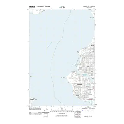 2011 Shilshole Bay2011 Print · USGSSeattle's maritime and military heritage is on full display in this 2011 survey of the city's northwestern coast as it appeared just over a decade ago. Researchers can trace the industrial pulse of the Lake Washington Ship Canal or locate local landmarks like the Fort Lawton Military Cemetery and Salmon Bay Fishermens Terminal.
 - 2014 Map of Shilshole Bay, 2014 Print
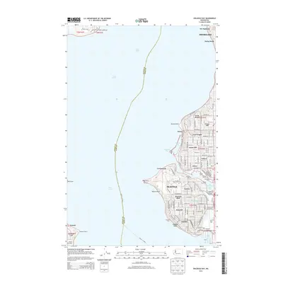 2014 Shilshole Bay2014 Print · USGSNorthwest Seattle's maritime character is captured here in the early twenty-first century, from the residential heights to the busy waterfront. Researchers can trace the legacy of Ft Lawton, the industrial Smith Cove Waterway, and the historic Ballard district.
 - 2017 Map of Shilshole Bay, 2017 Print
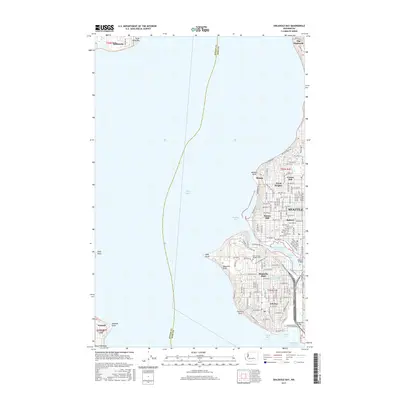 2017 Shilshole Bay2017 Print · USGSThe Seattle waterfront and maritime corridors are captured here in the late twenty-teens, showing the city's western neighborhoods and Puget Sound. Trace local landmarks like Fort Lawton Military Cem, the Ballard district, and Magnolia Bluff.
 - 2020 Map of Shilshole Bay, 2020 Print
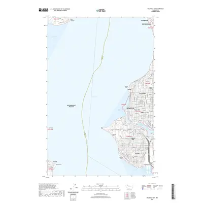 2020 Shilshole Bay2020 Print · USGSCoastal Seattle and the Ballard waterfront are shown here in the contemporary era, illustrating the dense urban grid between the sound and the ship canal. Trace family roots and local change near Fort Lawton Military Cem, Magnolia Bluff, and the historic industrial hub at Ballard.
 - 2023 Map of Shilshole Bay, 2023 Print
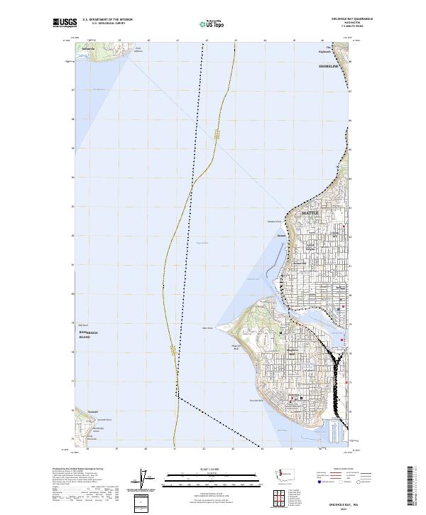 2023 Shilshole Bay2023 Print · USGSThe maritime gateway of Northwest Seattle and the Kitsap Peninsula is captured here in the early 2020s. Trace the complex shoreline from the Fort Lawton Military Cemetery to the industrial docks of Ballard and the Smith Cove Waterway.
End of results
Showing maps 1-16 of 16
Frequently asked questions
- What are the different types of historical maps available for Carleton Park?
- What is the oldest map of Carleton Park?
- Where can I purchase historical maps of Carleton Park for my home or office?
- Where can I download high-res historical maps of Carleton Park?
- Are there historical topographic maps available for Carleton Park?
- Is there historical aerial imagery available for Carleton Park?
- Where are historical maps of Carleton Park sourced from?