Old Maps of Thrall, Washington for Hiking & Exploration
Hike through history with 12 historic maps of Thrall. Explore old trails, ghost towns, and forgotten backroads — perfect for outdoor adventurers and local explorers.
- Rediscover forgotten places: Map out old mining camps, roads, and footpaths that no longer exist on modern maps.
- Layer with modern tools: Combine with LiDAR or satellite views to plan hikes through historical terrain.
- Made for exploration: Popular among hikers, overlanders, and local history lovers.
Use these maps to find adventure and explore the hidden past of Thrall.
Thrall, WA maps
(12)- 1899 Map of Ellensburg, 1957 Print
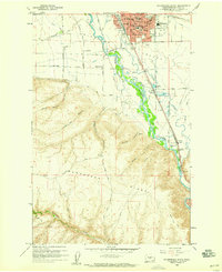
 1899 Ellensburg1957 Print · USGSCentral Washington at the turn of the century shows a landscape of growing river towns and high ridges. Researchers can trace early railroad expansion along the Northern Pacific RR or locate rural outposts like Tampico, Ahtanum, and Nile.
 - 1901 Map of Ellensburg
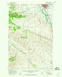
 1901 Ellensburg1901 Print · USGSCentral Washington at the turn of the century shows a landscape shaped by river valleys and high ridges. Trace the early Northern Pacific Railway line through Ellensburg and the remote outposts of Nile and Tampico.6 unique versions available
 - 1950 Map of Yakima, 1951 Print
 1950 Yakima1951 Print · USGSThe Yakima Valley and the towering Cascades meet in this mid-century survey of South Central Washington. Genealogists and local historians can trace the irrigation-era growth of Yakima, the historic Fort Simcoe outpost, and the White Swan Mission on the Yakima Indian Reservation.
 - 1958 Map of Ellensburg South, 1959 Print
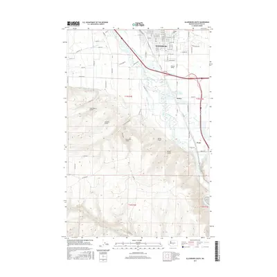
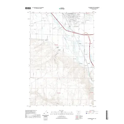
 1958 Ellensburg South1959 Print · USGSThe southern outskirts of Ellensburg and the surrounding Kittitas Valley are captured in the late fifties, just as the regional highway network was expanding. Genealogists and researchers can trace local landmarks like Dammon Sch, the Drive-in Theater, and the rail lines through Thrall.4 unique versions available
 - 1958 Map of Ellensburg, 1960 Print
 1958 Ellensburg1960 Print · USGSThe Kittitas Valley and the Yakima River corridor are captured here during the late fifties as irrigation and rail infrastructure reshaped the landscape. Researchers can trace historic family-named sites like High Valley Ranch, the Wenas Cemetery, and the Dammon Sch.2 unique versions available
 - 1958 Map of Yakima, 1964 Print
 1958 Yakima1964 Print · USGSThe Yakima Valley in the late fifties shows a landscape of mountain peaks and irrigated plains at the height of its rail-era development. Researchers can trace the lineage of early settlements through sites like Fort Simcoe, the Wenas Cemetery, and the Yakima Indian Agency School.3 unique versions available
 - 1961 Map of Yakima
 1961 Yakima1961 Print · USGSCentral Washington thrived in the mid-century as an agricultural powerhouse defined by the Yakima River. Trace local roots through Medicine Valley School, Fort Simcoe, and the rail lines of the Northern Pacific RR.
 - 2011 Map of Ellensburg South, 2011 Print
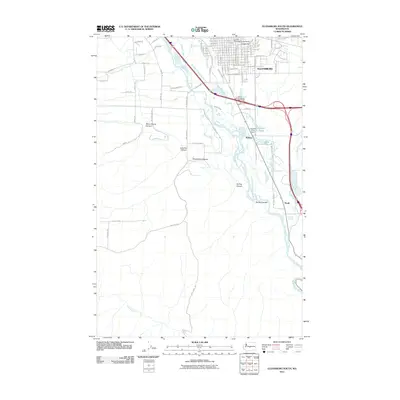 2011 Ellensburg South2011 Print · USGSCovers Thrall, including Ellensburg, Holmes, and other nearby areas
 - 2013 Map of Ellensburg South, 2013 Print
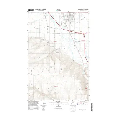 2013 Ellensburg South2013 Print · USGSCovers Thrall, including Ellensburg, Holmes, and other nearby areas
 - 2017 Map of Ellensburg South, 2017 Print
 2017 Ellensburg South2017 Print · USGSCovers Thrall, including Ellensburg, Holmes, and other nearby areas
 - 2020 Map of Ellensburg South, 2020 Print
 2020 Ellensburg South2020 Print · USGSCovers Thrall, including Ellensburg, Holmes, and other nearby areas
 - 2023 Map of Ellensburg South, 2023 Print
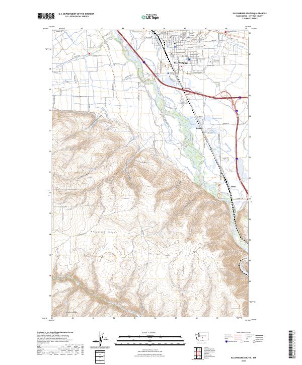 2023 Ellensburg South2023 Print · USGSThe Kittitas Valley landscape south of Ellensburg comes into focus in this recent survey of Washington’s agricultural heartland. Genealogists and local historians can trace family-named sites and irrigation history through Thrall, Tjossem Pond, and the Kittitas County Courthouse.
End of results
Showing maps 1-12 of 12
Top cities near Thrall
- Kittitas historical maps
- Ellensburg historical maps
- Tieton historical maps
- Naches historical maps
- Thorp historical maps
Frequently asked questions
- What are the different types of historical maps available for Thrall?
- What is the oldest map of Thrall?
- Where can I purchase historical maps of Thrall for my home or office?
- Where can I download high-res historical maps of Thrall?
- Are there historical topographic maps available for Thrall?
- Is there historical aerial imagery available for Thrall?
- Where are historical maps of Thrall sourced from?