Old Maps of Sundale, Washington for Genealogy
Trace your family roots with 11 historic maps of Sundale. These high-res maps reveal old neighborhoods, homesites, landmarks, and streets — helping you uncover where your ancestors lived and how the area evolved over time.
- Explore historic neighborhoods: Identify where your relatives may have lived in the 1800s or 1900s.
- Compare maps over time: Trace the changes in streets, buildings, and landmarks for multi-generational research.
- Perfect for genealogy & ancestry research: Used by family historians and researchers to map out lineage and migration.
These maps are an incredible resource for exploring your personal connection to Sundale's past.
Sundale, WA maps
(11)- 1916 Map of Arlington
 1916 Arlington1916 Print · USGSThe Columbia River frontier of the mid-1910s reveals a world where the Oregon Trail and early railroads met the water. Genealogists can trace family roots through rural landmarks like Stegeman Ranch, Shutler, and the Locust Grove School.4 unique versions available
 - 1953 Map of The Dalles, 1965 Print
 1953 The Dalles1965 Print · USGSThe Columbia River Gorge at mid-century shows a region being transformed by massive hydroelectric dams and a growing highway network. Researchers can trace the development of The Dalles Dam, locate the Maryhill Museum, and find old rail stops in Rufus, Wishram, and Arlington.3 unique versions available
 - 1956 Map of The Dalles
 1956 The Dalles1956 Print · USGSThe Columbia River Gorge and the high Cascades are captured in the mid-1950s, showing a vital corridor of rail and road. Researchers can trace the original path of The Old Oregon Trail or locate historical landmarks like the Maryhill Museum and Mount Hood.
 - 1957 Map of The Dalles
 1957 The Dalles1957 Print · USGSThe Columbia River Gorge and the high plateaus of the mid-1950s come alive on this detailed survey of northern Oregon and southern Washington. Researchers can trace the path of the Oregon Trail and The Old Barlow Road alongside river towns like The Dalles and Wishram.
 - 1971 Map of Sundale, 1972 Print
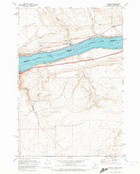 1971 Sundale1972 Print · USGSThe Columbia River Gorge in the early seventies shows a landscape of rail transit and river engineering at Lake Umatilla. Trace the path of the Burlington Northern near Sundale or explore the steep drainages of Blalock Canyon.2 unique versions available
 - 1980 Map of Goldendale, 1981 Print
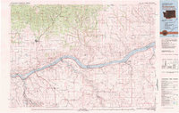 1980 Goldendale1981 Print · USGSThe Columbia River corridor in the 1980s was a critical junction of rail, water, and highway commerce between Washington and Oregon. Genealogists and historians can trace riverside settlements like Wishram, high-country towns like Bickleton, and the grounds of the Maryhill Museum.
 - 2011 Map of Sundale, 2011 Print
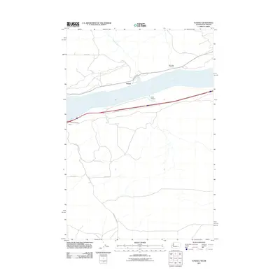 2011 Sundale2011 Print · USGSThe Columbia River Gorge at the start of the 2010s reveals a landscape defined by deep drainages and riverside settlements. Genealogists and historians can trace local family routes like Hanan Dr and find the small communities of Sundale and Blalock.
 - 2013 Map of Sundale, 2013 Print
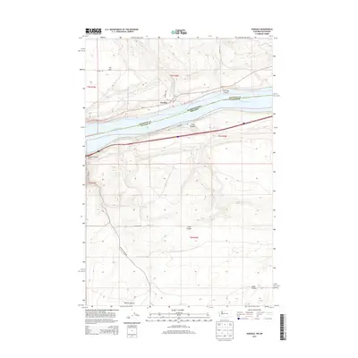 2013 Sundale2013 Print · USGSThe Columbia River corridor near the Washington-Oregon border is shown in detail during the early 2010s. Local historians can trace the paths of Old Highway 8 and WA-14 past settlements like Sundale and landforms such as The Burn.
 - 2017 Map of Sundale, 2017 Print
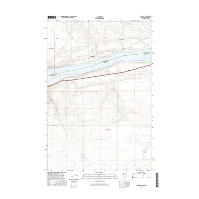 2017 Sundale2017 Print · USGSThe Columbia River corridor near the Washington-Oregon border is captured here in the late 2010s. Researchers can trace the steep drainages of Old Lady Canyon and Blalock Canyon as they meet the waters of Lake Umatilla.
 - 2020 Map of Sundale, 2020 Print
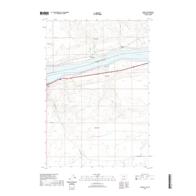 2020 Sundale2020 Print · USGSThe Columbia River frontier at the Washington-Oregon border is captured here in detail during the early twenty-first century. Researchers can trace the steep drainages of Old Lady Canyon and Blalock Canyon as they meet the shoreline at Sundale.
 - 2023 Map of Sundale, 2023 Print
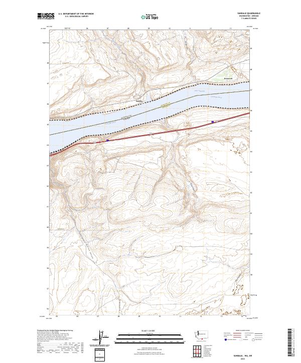 2023 Sundale2023 Print · USGSThe Columbia River shoreline and the high plateau of Klickitat County are shown here in modern detail. Researchers can trace the path of Old Hwy 8 and locate the riverfront settlements of Sundale and Roosevelt near the banks of Lake Umatilla.
End of results
Showing maps 1-11 of 11
Top cities near Sundale
Frequently asked questions
- What are the different types of historical maps available for Sundale?
- What is the oldest map of Sundale?
- Where can I purchase historical maps of Sundale for my home or office?
- Where can I download high-res historical maps of Sundale?
- Are there historical topographic maps available for Sundale?
- Is there historical aerial imagery available for Sundale?
- Where are historical maps of Sundale sourced from?