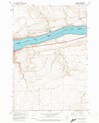
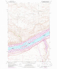
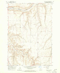
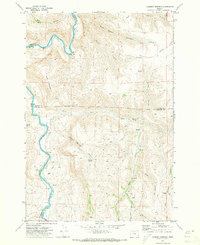
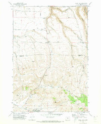
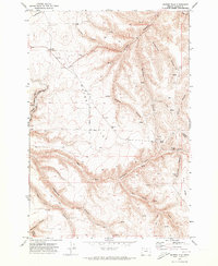
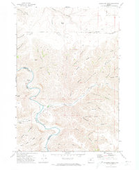
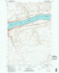
1971 Map of Sundale
USGS Topo · Published 1972This historical map portrays the area of Sundale in 1971, primarily covering Gilliam County as well as portions of Washington. Featuring a scale of 1:24000, this map provides a highly detailed snapshot of the terrain, roads, buildings, counties, and historical landmarks in the Sundale region at the time. Published in 1972, it is one of 2 known editions of this map due to revisions or reprints.
Find a feature on this map
23 named features on this map. Tap any name to fly to it.
Don’t see what you’re looking for? This feature index may not catch every label — zoom into the map to look around manually.
Map Details
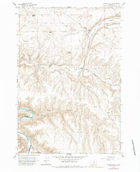
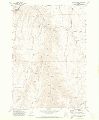
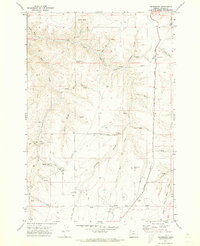
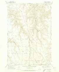
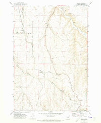
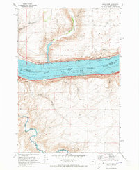
Editions of this 1971 Sundale Map
2 editions found
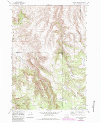
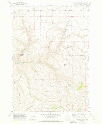
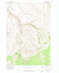
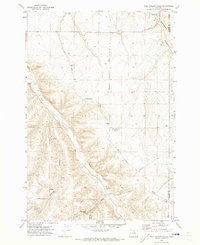
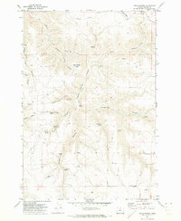
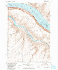
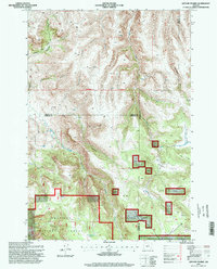
Historical Maps of Sundale Through Time
26 maps found
1962 Heppner Junction
Gilliam County, OR
1964 Hickland Butte
Gilliam County, OR
1964 Horn Butte
Gilliam County, OR
1964 Shutler Flat
Gilliam County, OR
1964 Turner Butte
Gilliam County, OR
1969 Lefevre Prairie
Gilliam County, OR
1970 Buckhorn Canyon
Gilliam County, OR
1970 Chimney Springs
Gilliam County, OR
1970 Devils Backbone
Gilliam County, OR
1970 Devils Gap
Gilliam County, OR
1970 Esau Canyon
Gilliam County, OR
1970 Fossil North
Gilliam County, OR
1970 Gwendolen
Gilliam County, OR
1970 Igo Butte
Gilliam County, OR
1970 Lone Rock Creek
Gilliam County, OR
1970 Matney Flat
Gilliam County, OR
1970 Mikkalo
Gilliam County, OR
1970 Salmon Fork
Gilliam County, OR
1970 Schott Canyon
Gilliam County, OR
1970 Shoestring Ridge
Gilliam County, OR
1970 Wolf Hollow Falls
Gilliam County, OR
1971 Indian Spring
Gilliam County, OR
1971 Quinton
Gilliam County, OR
1971 Sundale
Gilliam County, OR
1971 Sundale NW
Gilliam County, OR
1995 Lefevre Prairie
Gilliam County, OR