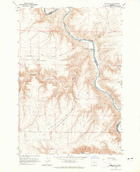
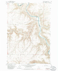
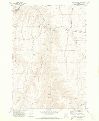
1964 Map of Mc Donald
USGS Topo · Published 1965About this map
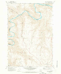
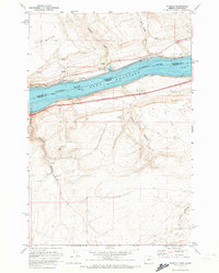
McDonald sits at a strategic crossing where the John Day River carves through the high plateau country along the Gilliam and Sherman County line. This mid-century survey documents the convergence of historical western migration routes and modern land use, showing the Oregon Trail and the Barlow Cutoff threading through the dissected terrain. A dedicated Old Oregon Trail Monument and the McDonald Ford mark the specific point of river passage, while landmarks like Starvation Point and Grass Valley Canyon reflect the demanding nature of the local geography. Beyond the pioneer paths, the map records more recent additions to the landscape such as a Landing Strip, a Gaging Station on the river, and scattered agricultural resources like a Gravel Pit and several wells that supported life in this arid canyon environment.
Find a feature on this map
17 named features on this map. Tap any name to fly to it.
Don’t see what you’re looking for? This feature index may not catch every label — zoom into the map to look around manually.
Map Details
Editions of this 1964 Mc Donald Map
2 editions found
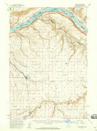
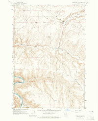
Other maps of this area

1916 · Arlington
USGS Topo · 1:125,000

1916 · Condon
USGS Topo · 1:125,000

1953 · The Dalles
USGS Topo · 1:250,000

1956 · The Dalles
USGS Topo · 1:250,000

1957 · The Dalles
USGS Topo · 1:250,000
1957 · Wasco
USGS Topo · 1:62,500
1964 · Turner Butte
USGS Topo · 1:24,000
1970 · Devils Backbone
USGS Topo · 1:24,000
1970 · Esau Canyon
USGS Topo · 1:24,000
1971 · Sundale
USGS Topo · 1:24,000