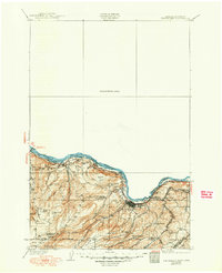
1957 Map of The Dalles
USGS Topo · Published 1957About this map
The Columbia River serves as the central artery for this mid-century survey, dividing the mountainous timberlands of the north from the high plateaus of Oregon. This era captures the region's transport network at a critical juncture, showing the Spokane Portland and Seattle and Union Pacific railroads flanking the water while the Columbia River Highway and Evergreen Highway parallel the banks. To the south, the iconic summit of Mt Hood anchors the Mount Hood National Forest, where the historic path of The Old Barlow Road remains a visible scar on the landscape.
Find a feature on this map
118 named features on this map. Tap any name to fly to it.
Don’t see what you’re looking for? This feature index may not catch every label — zoom into the map to look around manually.
Map Details
Editions of this 1957 The Dalles Map
This is the sole edition of this map. No revisions or reprints were ever made.
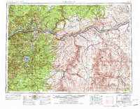
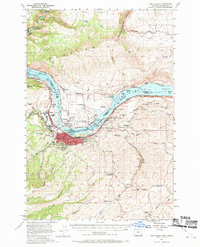
Historical Maps of The Dalles Through Time
5 maps found