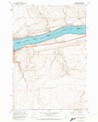
1971 Map of Sundale
USGS Topo · Published 1972About this map
Lake Umatilla dominates this stretch of the Columbia River along the Washington and Oregon border, following the mid-century transformation of the river into a series of slack-water pools. On the Washington side, the small settlement of Sundale sits near the tracks of the Burlington Northern railroad, accompanied by a local Cem and a public Boat Ramp reflecting the area's recreational and transit roles. Across the water in Oregon, the Union Pacific line hugs the shore beneath the steep rising walls of Blalock Canyon and Lang Canyon. The map illustrates a landscape defined by sharp elevation changes and deep drainages, such as Jones Canyon and Old Lady Canyon, which cut through the high plateaus north and south of the river. This 1971 record captures the industrial and logistical framework of the gorge, from the massive Substation near the canyon floor to the widespread presence of borrow pits used for infrastructure maintenance.
Find a feature on this map
23 named features on this map. Tap any name to fly to it.
Don’t see what you’re looking for? This feature index may not catch every label — zoom into the map to look around manually.
Map Details
Editions of this 1971 Sundale Map
2 editions found
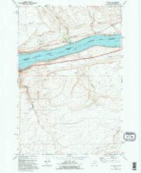
Other maps of this area

1916 · Arlington
USGS Topo · 1:125,000

1953 · The Dalles
USGS Topo · 1:250,000

1956 · The Dalles
USGS Topo · 1:250,000

1957 · The Dalles
USGS Topo · 1:250,000

1962 · Wood Gulch
USGS Topo · 1:24,000

1964 · Turner Butte
USGS Topo · 1:24,000

1964 · Shutler Flat
USGS Topo · 1:24,000

1964 · Mc Donald
USGS Topo · 1:24,000

1965 · Goodnoe Hills
USGS Topo · 1:24,000
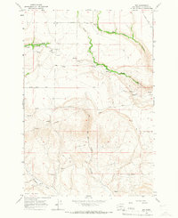
1965 · Dot
USGS Topo · 1:24,000