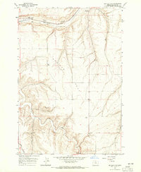
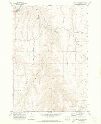
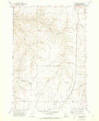
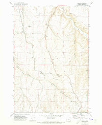
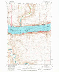
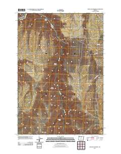
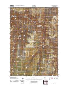
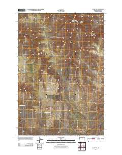
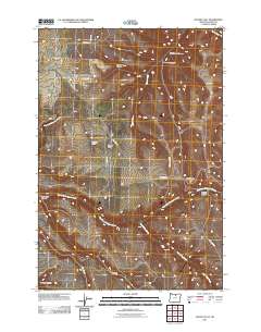
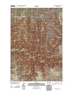
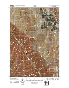
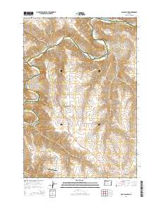
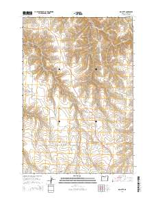
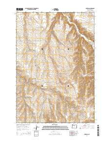
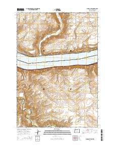
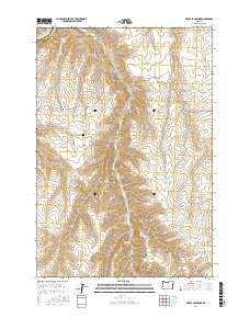
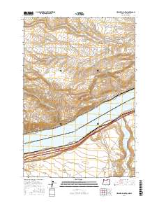
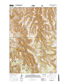
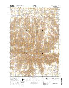
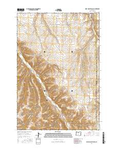
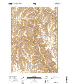
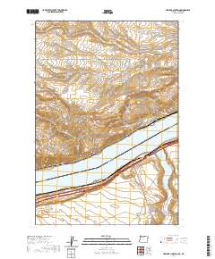
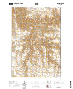
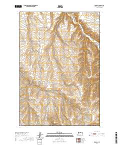
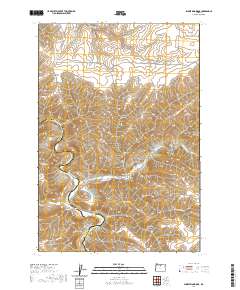
1964 Map of Shutler Flat
USGS Topo · Published 1965About this map
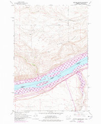
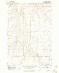
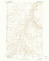
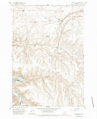
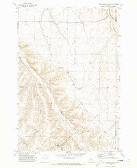
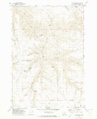
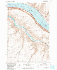
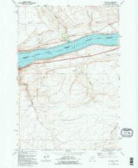
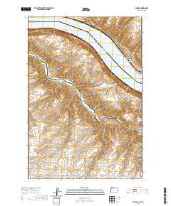
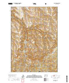
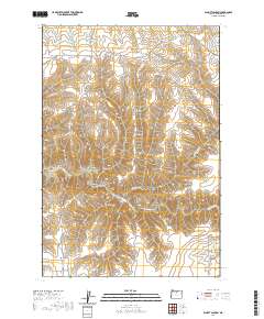
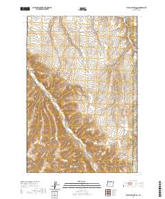
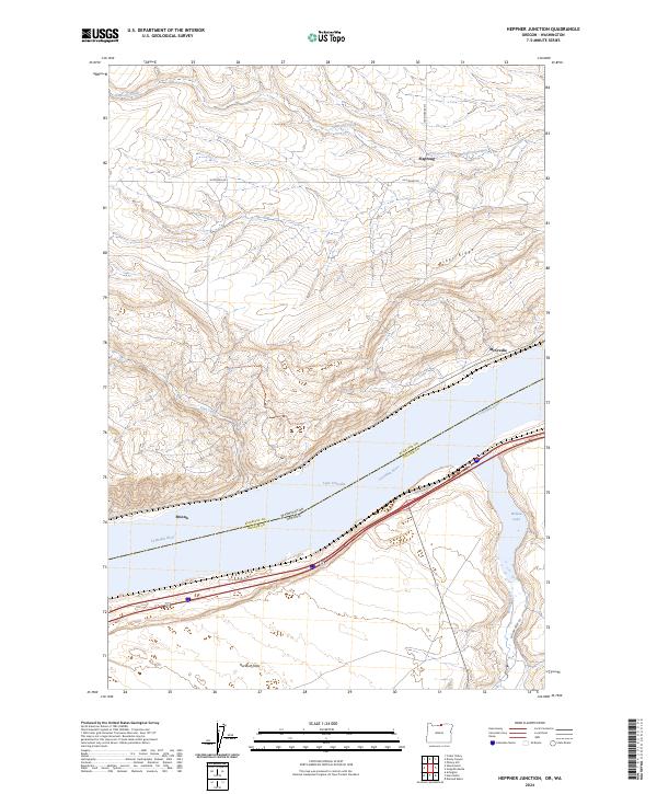
The Oregon Trail winds across the northern expanse of this 1964 Gilliam County survey, marking a historic corridor through the high plateau country. This transit heritage is reinforced by the presence of the Weatherford Historical Mon and the Union Pacific railroad, which parallels the trail as it cuts through the Alkali Canyon. The agricultural landscape is defined by the broad Shutler Flat, where infrastructure like the Well Grain Elevator and various Storage Bins near the settlement of Roddy point to a mid-century economy centered on grain production and transport.
Find a feature on this map
22 named features on this map. Tap any name to fly to it.
Don’t see what you’re looking for? This feature index may not catch every label — zoom into the map to look around manually.
Map Details
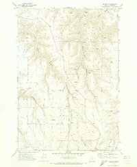
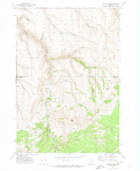
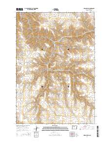
Editions of this 1964 Shutler Flat Map
This is the sole edition of this map. No revisions or reprints were ever made.
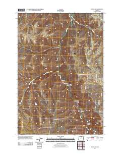
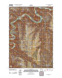
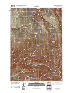
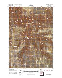
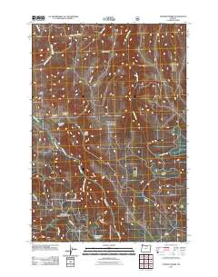
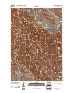
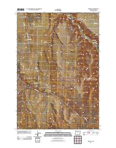
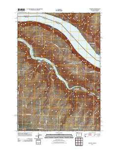
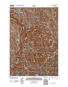
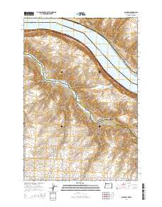
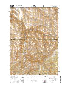
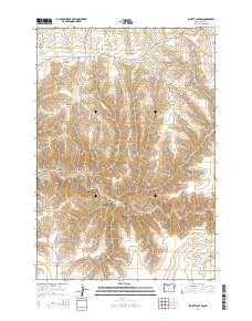
Historical Maps of Gilliam County Through Time
146 maps found
1962 Heppner Junction
Gilliam County, OR
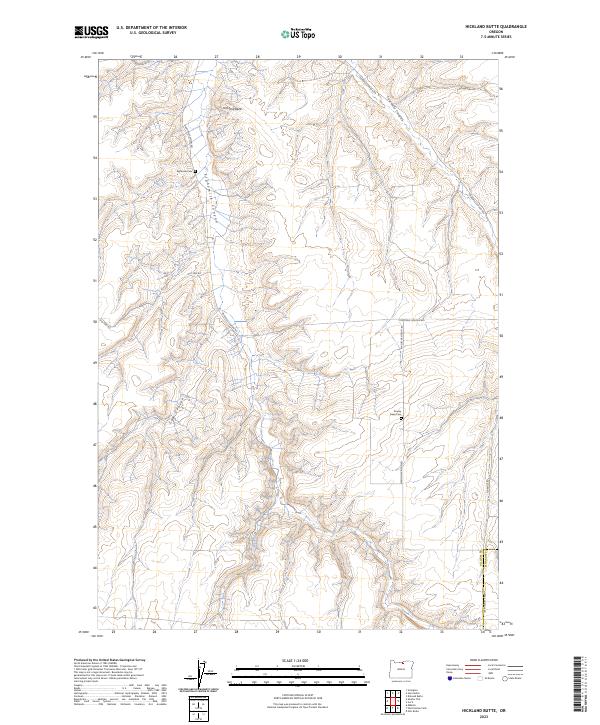
1964 Hickland Butte
Gilliam County, OR
1964 Horn Butte
Gilliam County, OR
1964 Shutler Flat
Gilliam County, OR
1964 Turner Butte
Gilliam County, OR
1969 Lefevre Prairie
Gilliam County, OR
1970 Buckhorn Canyon
Gilliam County, OR
1970 Chimney Springs
Gilliam County, OR
1970 Devils Backbone
Gilliam County, OR
1970 Devils Gap
Gilliam County, OR
1970 Esau Canyon
Gilliam County, OR
1970 Fossil North
Gilliam County, OR
1970 Gwendolen
Gilliam County, OR
1970 Igo Butte
Gilliam County, OR
1970 Lone Rock Creek
Gilliam County, OR
1970 Matney Flat
Gilliam County, OR
1970 Mikkalo
Gilliam County, OR
1970 Salmon Fork
Gilliam County, OR
1970 Schott Canyon
Gilliam County, OR
1970 Shoestring Ridge
Gilliam County, OR
1970 Wolf Hollow Falls
Gilliam County, OR
1971 Indian Spring
Gilliam County, OR
1971 Quinton
Gilliam County, OR
1971 Sundale
Gilliam County, OR
1971 Sundale NW
Gilliam County, OR
1995 Lefevre Prairie
Gilliam County, OR
2011 Buckhorn Canyon
Gilliam County, OR
2011 Chimney Springs
Gilliam County, OR
2011 Devils Backbone
Gilliam County, OR
2011 Devils Gap
Gilliam County, OR
2011 Esau Canyon
Gilliam County, OR
2011 Fossil North
Gilliam County, OR
2011 Gwendolen
Gilliam County, OR
2011 Heppner Junction
Gilliam County, OR
2011 Hickland Butte
Gilliam County, OR
2011 Horn Butte
Gilliam County, OR
2011 Igo Butte
Gilliam County, OR
2011 Indian Spring
Gilliam County, OR
2011 Lefevre Prairie
Gilliam County, OR
2011 Lone Rock Creek
Gilliam County, OR
2011 Matney Flat
Gilliam County, OR
2011 Mikkalo
Gilliam County, OR
2011 Quinton
Gilliam County, OR
2011 Salmon Fork
Gilliam County, OR
2011 Schott Canyon
Gilliam County, OR
2011 Shoestring Ridge
Gilliam County, OR
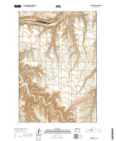
2011 Shutler Flat
Gilliam County, OR

2011 Sundale NW
Gilliam County, OR
2011 Turner Butte
Gilliam County, OR
2011 Wolf Hollow Falls
Gilliam County, OR

2014 Buckhorn Canyon
Gilliam County, OR
2014 Chimney Springs
Gilliam County, OR
2014 Devils Backbone
Gilliam County, OR
2014 Devils Gap
Gilliam County, OR
2014 Esau Canyon
Gilliam County, OR
2014 Fossil North
Gilliam County, OR

2014 Gwendolen
Gilliam County, OR
2014 Heppner Junction
Gilliam County, OR

2014 Hickland Butte
Gilliam County, OR
2014 Horn Butte
Gilliam County, OR
2014 Igo Butte
Gilliam County, OR
2014 Indian Spring
Gilliam County, OR

2014 Lefevre Prairie
Gilliam County, OR
2014 Lone Rock Creek
Gilliam County, OR
2014 Matney Flat
Gilliam County, OR
2014 Mikkalo
Gilliam County, OR
2014 Quinton
Gilliam County, OR
2014 Salmon Fork
Gilliam County, OR
2014 Schott Canyon
Gilliam County, OR

2014 Shoestring Ridge
Gilliam County, OR

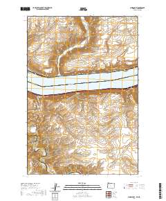
2014 Shutler Flat
Gilliam County, OR
2014 Sundale NW
Gilliam County, OR
2014 Turner Butte
Gilliam County, OR

2014 Wolf Hollow Falls
Gilliam County, OR
2017 Buckhorn Canyon
Gilliam County, OR
2017 Chimney Springs
Gilliam County, OR
2017 Devils Backbone
Gilliam County, OR
2017 Devils Gap
Gilliam County, OR

2017 Esau Canyon
Gilliam County, OR
2017 Fossil North
Gilliam County, OR
2017 Gwendolen
Gilliam County, OR
2017 Heppner Junction
Gilliam County, OR
2017 Hickland Butte
Gilliam County, OR

2017 Horn Butte
Gilliam County, OR
2017 Igo Butte
Gilliam County, OR
2017 Indian Spring
Gilliam County, OR
2017 Lefevre Prairie
Gilliam County, OR
2017 Lone Rock Creek
Gilliam County, OR

2017 Matney Flat
Gilliam County, OR

2017 Mikkalo
Gilliam County, OR
2017 Quinton
Gilliam County, OR
2017 Salmon Fork
Gilliam County, OR
2017 Schott Canyon
Gilliam County, OR
2017 Shoestring Ridge
Gilliam County, OR
2017 Shutler Flat
Gilliam County, OR
2017 Sundale NW
Gilliam County, OR

2017 Turner Butte
Gilliam County, OR
2017 Wolf Hollow Falls
Gilliam County, OR
2020 Buckhorn Canyon
Gilliam County, OR
2020 Chimney Springs
Gilliam County, OR
2020 Devils Backbone
Gilliam County, OR
2020 Devils Gap
Gilliam County, OR
2020 Esau Canyon
Gilliam County, OR
2020 Fossil North
Gilliam County, OR
2020 Gwendolen
Gilliam County, OR
2020 Heppner Junction
Gilliam County, OR
2020 Hickland Butte
Gilliam County, OR
2020 Horn Butte
Gilliam County, OR
2020 Igo Butte
Gilliam County, OR
2020 Indian Spring
Gilliam County, OR
2020 Lefevre Prairie
Gilliam County, OR
2020 Lone Rock Creek
Gilliam County, OR
2020 Matney Flat
Gilliam County, OR
2020 Mikkalo
Gilliam County, OR
2020 Quinton
Gilliam County, OR
2020 Salmon Fork
Gilliam County, OR
2020 Schott Canyon
Gilliam County, OR
2020 Shoestring Ridge
Gilliam County, OR
2020 Shutler Flat
Gilliam County, OR
2020 Sundale NW
Gilliam County, OR
2020 Turner Butte
Gilliam County, OR
2020 Wolf Hollow Falls
Gilliam County, OR
2023 Buckhorn Canyon
Gilliam County, OR
2023 Chimney Springs
Gilliam County, OR
2023 Devils Gap
Gilliam County, OR
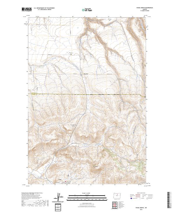
2023 Fossil North
Gilliam County, OR
2023 Hickland Butte
Gilliam County, OR
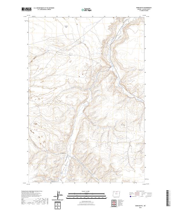
2023 Horn Butte
Gilliam County, OR
2023 Igo Butte
Gilliam County, OR
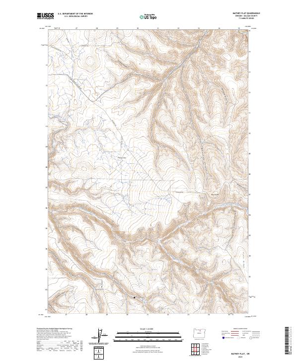
2023 Matney Flat
Gilliam County, OR
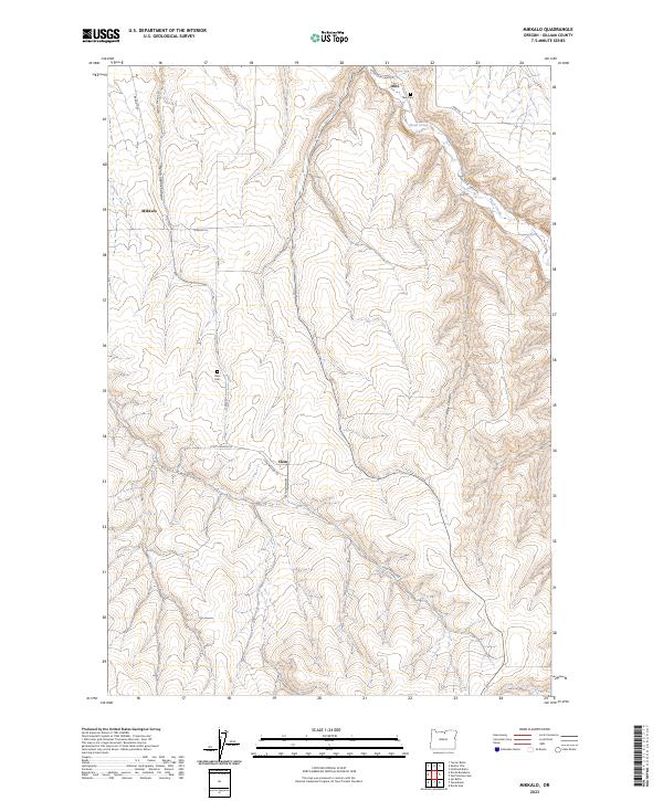
2023 Mikkalo
Gilliam County, OR
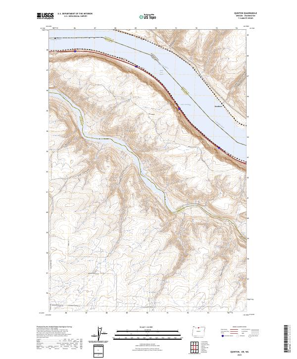
2023 Quinton
Gilliam County, OR
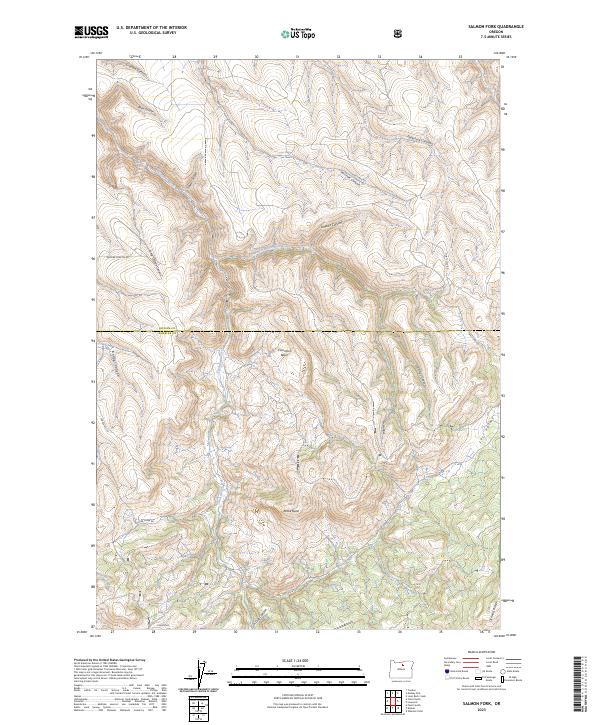
2023 Salmon Fork
Gilliam County, OR
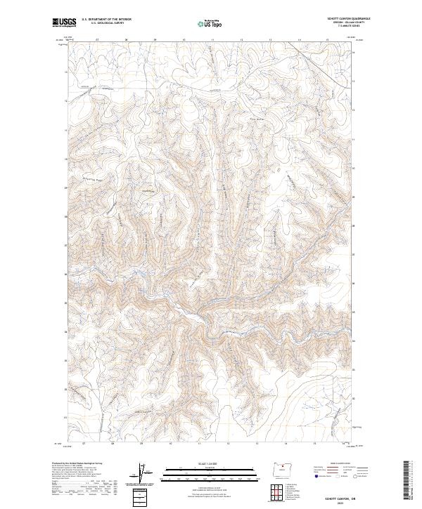
2023 Schott Canyon
Gilliam County, OR
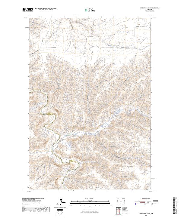
2023 Shoestring Ridge
Gilliam County, OR
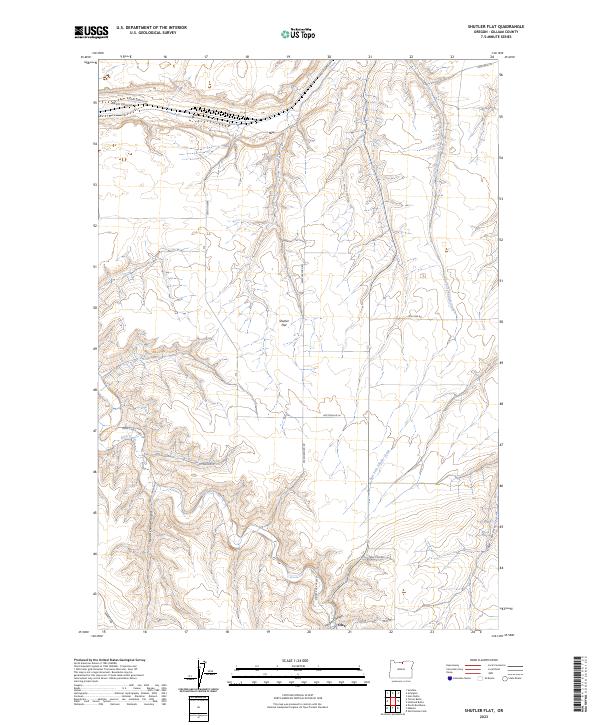
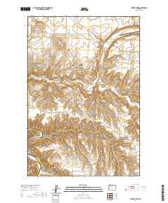
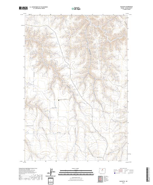
2023 Shutler Flat
Gilliam County, OR
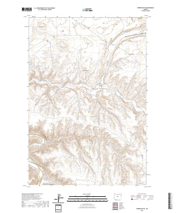
2023 Turner Butte
Gilliam County, OR
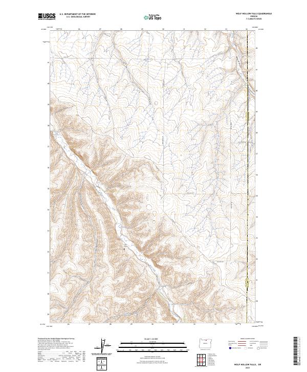
2023 Wolf Hollow Falls
Gilliam County, OR
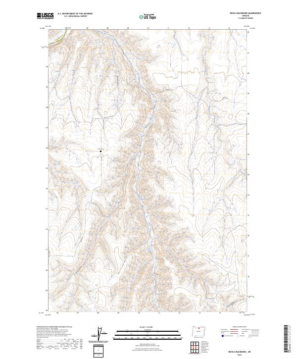
2024 Devils Backbone
Gilliam County, OR
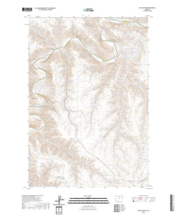
2024 Esau Canyon
Gilliam County, OR
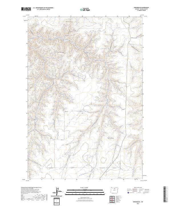
2024 Gwendolen
Gilliam County, OR
2024 Heppner Junction
Gilliam County, OR
2024 Indian Spring
Gilliam County, OR

2024 Lefevre Prairie
Gilliam County, OR
2024 Lone Rock Creek
Gilliam County, OR
2024 Sundale NW
Gilliam County, OR