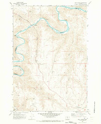
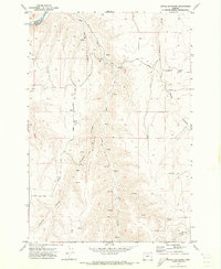
1970 Map of Esau Canyon
USGS Topo · Published 1973About this map
The John Day River carves a deep, winding path through the high desert of north-central Oregon, defining the boundary between Sherman and Gilliam counties. Along its banks, river miles are meticulously marked, and the JS Burres State Park sits near a prominent bend where Cottonwood Canyon joins the main waterway. The landscape is dominated by a complex network of dry canyons and seasonal drainages, including the eponymous Esau Canyon, Devils Canyon, and Ferry Canyon.
Find a feature on this map
30 named features on this map. Tap any name to fly to it.
Don’t see what you’re looking for? This feature index may not catch every label — zoom into the map to look around manually.
Map Details
Editions of this 1970 Esau Canyon Map
This is the sole edition of this map. No revisions or reprints were ever made.
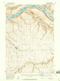
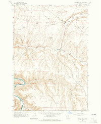
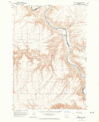
Other maps of this area

1916 · Arlington
USGS Topo · 1:125,000

1916 · Condon
USGS Topo · 1:125,000

1953 · The Dalles
USGS Topo · 1:250,000

1956 · The Dalles
USGS Topo · 1:250,000

1957 · The Dalles
USGS Topo · 1:250,000
1957 · Wasco
USGS Topo · 1:62,500
1964 · Turner Butte
USGS Topo · 1:24,000
1964 · Mc Donald
USGS Topo · 1:24,000
1970 · Devils Backbone
USGS Topo · 1:24,000
1970 · Igo Butte
USGS Topo · 1:24,000