Old Maps of Wilson, Washington for Academic Research
Study the evolution of Wilson with 12 high-resolution historic maps. Whether you're teaching, researching, or modeling changes in land use, these maps provide essential visual documentation of urban, environmental, and geographic change.
- Analyze long-term change: Track patterns in development, transportation, and natural features.
- Ideal for environmental or urban studies: Support academic projects with primary historical map data.
- Use in the classroom or lab: Educators and researchers rely on these maps to bring historical context to life.
These maps are a powerful tool for teaching, research, and visualizing how Wilson has changed over the decades.
Wilson, WA maps
(12)- 1942 Map of Toutle
 1942 Toutle1942 Print · USGSCowlitz County and the river valleys of the Cascades foothills are captured here in the early nineteen-forties. Genealogists and local historians can trace family locations near Toutle, Gilmore Corners, and St Helens, or locate the specific Toutle Lake School.
 - 1953 Map of Hoquiam
 1953 Hoquiam1953 Print · USGSSouthwest Washington in the early fifties shows a landscape shaped by timber, rail, and river commerce from the coast to the Cascades. Genealogists and historians can trace the development of timber towns like Ryderwood and the industrial hubs of Hoquiam and Kelso.2 unique versions available
 - 1953 Map of Toutle, 1955 Print
 1953 Toutle1955 Print · USGSCowlitz County’s timber-driven landscape comes into focus during the early fifties as logging operations expanded through the river valleys. Researchers can trace the Weyerhaeuser Timber Co Railroad, locate the Toutle Lake School, and find old sites like Eden Valley or the Windom Mine.3 unique versions available
 - 1957 Map of Hoquiam
 1957 Hoquiam1957 Print · USGSCoastal timber ports and inland rail hubs define Southwest Washington during the late fifties. Genealogists can trace early twentieth-century settlements like Bordeaux, Tono, and Cosmopolis alongside the expanding tracks of the Northern Pacific.
 - 1958 Map of Hoquiam, 1969 Print
 1958 Hoquiam1969 Print · USGSSouthwest Washington and the Columbia River estuary appear here in the mid-century, before major landscape shifts. Researchers can trace the rail lines of the Northern Pacific, locate the Fort Henness Site, or explore the Naselle Air Force Station.2 unique versions available
 - 1962 Map of Hoquiam
 1962 Hoquiam1962 Print · USGSSouthwest Washington in the late fifties is defined by the bustling timber ports of Hoquiam and the rail-linked commerce of the interior valleys. Genealogists and historians can trace the early footprints of settlements like Raymond and Pe Ell, or locate family sites at Grand Mound Cem and Odd Fellows Cem.
 - 1984 Map of Hatchet Mtn
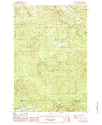 1984 Hatchet Mtn1984 Print · USGSThe Lewis and Cowlitz county line was a hub of timber activity in the mid-1980s, defined by the North Fork Toutle River valley. Trace the logging roads and camps of the era, from 19 Mile Camp to the ridges near Hatchet Mtn.2 unique versions available
 - 2011 Map of Hatchet Mountain, 2011 Print
 2011 Hatchet Mountain2011 Print · USGSLewis County timberlands and river valleys are captured here in the early twenty-first century. Researchers can trace remote settlements and access points like Wilson, Maple Flat, and the area around Nineteen Mile Camp near the Green River.
 - 2013 Map of Hatchet Mountain, 2013 Print
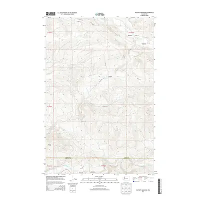 2013 Hatchet Mountain2013 Print · USGSUpper Lewis County and the Cowlitz border are documented here in 2013, showing a landscape defined by salmon-bearing rivers and high mountain peaks. Local historians can trace early outposts like Nineteen Mile Camp, the Green River Salmon Hatchery, and the namesake Hatchet Mtn.
 - 2017 Map of Hatchet Mountain, 2017 Print
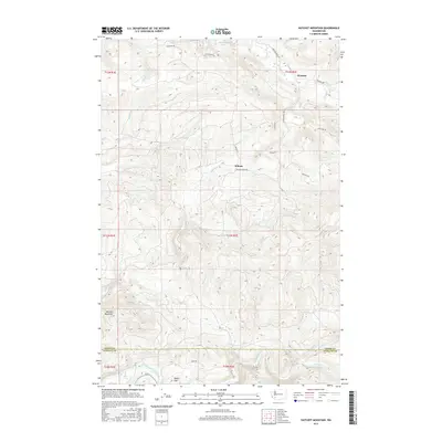 2017 Hatchet Mountain2017 Print · USGSThe highland terrain south of Mayfield Lake comes into focus in this late-era survey, capturing the river-carved valleys along the Lewis and Cowlitz county line. Researchers can trace the drainage of the North Fork Toutle River and locate local landmarks such as Wilson, Maple Flat, and Hatchet Mountain.
 - 2020 Map of Hatchet Mountain, 2020 Print
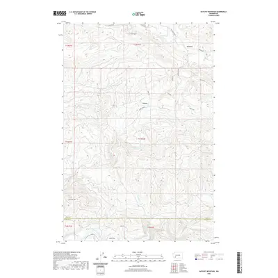 2020 Hatchet Mountain2020 Print · USGSThe Lewis and Cowlitz county borderlands are captured here in the early twenty-first century, showing a region defined by logging roads and river valleys. Researchers can trace the drainages of Salmon Cr and Winston Cr or locate the high point of Hatchet Mtn.
 - 2023 Map of Hatchet Mountain, 2023 Print
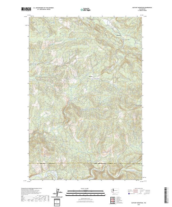 2023 Hatchet Mountain2023 Print · USGSIn the high country of the Washington Cascades, this recent survey shows the timberlands and river valleys of Lewis County as they appear today. Researchers can trace forest access via Camp Nine Rd and locate local landmarks like Hatchet Mtn and Maple Flat.
End of results
Showing maps 1-12 of 12
Top cities near Wilson
Frequently asked questions
- What are the different types of historical maps available for Wilson?
- What is the oldest map of Wilson?
- Where can I purchase historical maps of Wilson for my home or office?
- Where can I download high-res historical maps of Wilson?
- Are there historical topographic maps available for Wilson?
- Is there historical aerial imagery available for Wilson?
- Where are historical maps of Wilson sourced from?