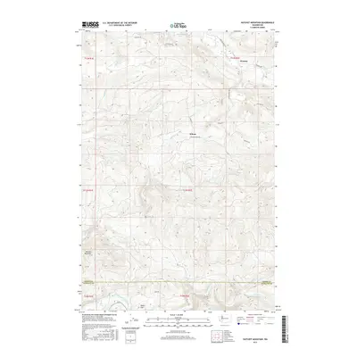
2017 Map of Hatchet Mountain
USGS Topo · Published 2017About this map
Hatchet Mountain stands as the dominant topographical feature in this corner of the Pacific Northwest, where the rugged terrain of the Gifford Pinchot area transitions toward the river valleys of Southwest Washington. The landscape is defined by a dense network of watercourses, including the North Fork Toutle River and Green River, which flow through the southern portion of the quadrangle. In the north, Mayfield Lake provides a significant water body near the settlements of Winston and Wilson.
Find a feature on this map
31 named features on this map. Tap any name to fly to it.
Don’t see what you’re looking for? This feature index may not catch every label — zoom into the map to look around manually.
Map Details
Editions of this 2017 Hatchet Mountain Map
This is the sole edition of this map. No revisions or reprints were ever made.
Other maps of this area

1916 · Chehalis
USGS Topo · 1:125,000

1919 · Mount St Helens
USGS Topo · 1:125,000

1937 · Eatonville
USGS Topo · 1:125,000

1942 · Toutle
USGS Topo · 1:62,500

1943 · Willapa
USGS Topo · 1:62,500

1953 · Hoquiam
USGS Topo · 1:250,000

1953 · Toutle
USGS Topo · 1:62,500

1953 · Elk Rock
USGS Topo · 1:62,500

1954 · Onalaska
USGS Topo · 1:62,500

1957 · Hoquiam
USGS Topo · 1:250,000