Old Maps of Bagdad Junction, Washington
Explore 12 old maps of Bagdad Junction, spanning from 1948 to today. These high-resolution historic maps reveal how streets, neighborhoods, landmarks, and natural features evolved over time — perfect for genealogy, metal detecting, research, and local history exploration.
What you can do with these maps:
- See how Bagdad Junction changed over time: Compare historical maps to modern-day views to trace roads, homesites, rail lines & more.
- View detailed metadata: Each map includes creators, publishers, year, scale, and archive source.
- Overlay maps with satellite & LiDAR: Visualize the past alongside modern tools to explore terrain & human change.
- Trusted historical sources: Maps sourced from the USGS, Library of Congress, and other archives.
- Access maps your way: View online, download high-res files, or order prints for personal or research use.
Start exploring old maps of Bagdad Junction to uncover forgotten places, hidden landmarks, and the deep history beneath your feet.
Bagdad Junction, WA maps
(12)- 1948 Map of Grand Coulee Dam, 1955 Print
 1948 Grand Coulee Dam1955 Print · USGSThe Grand Coulee region underwent a massive transformation by the late 1940s as the dam transformed the river valley into a sprawling reservoir. Trace the growth of Coulee Dam and Grand Coulee, and locate rural landmarks like the Grand Coulee Grange and Bagdad Junction.6 unique versions available
 - 1950 Map of Grand Coulee Dam
 1950 Grand Coulee Dam1950 Print · USGSThe Grand Coulee region during the late 1940s reveals a landscape transformed by the new reservoir and the massive engineering of the dam. Researchers can trace local history through the Lafollette Cem, the community at Elmer City, and rural sites like the Grand Coulee Grange.2 unique versions available
 - 1953 Map of Ritzville, 1966 Print
 1953 Ritzville1966 Print · USGSEastern Washington was undergoing a massive agricultural and industrial transformation in the mid-fifties as irrigation from the Grand Coulee Dam reached the plateau. Researchers can trace the mid-century rail network of the Great Northern and locate vital local sites like Larson Air Force Base and Odessa.3 unique versions available
 - 1959 Map of Ritzville
 1959 Ritzville1959 Print · USGSEastern Washington in the late fifties reveals a landscape transformed by massive irrigation projects and postwar growth. Genealogists and historians can trace rail-line communities from Ritzville to Davenport and locate landmarks like Larson Air Force Base and Telford Station.
 - 1965 Map of Ritzville
 1965 Ritzville1965 Print · USGSCentral Washington during the mid-sixties shows a landscape shaped by massive irrigation projects and the Cold War. Genealogists and historians can trace rail-town life and military presence through Ephrata Air Base, the Telford Station, and local schools.
 - 1983 Map of Coulee Dam
 1983 Coulee Dam1983 Print · USGSThe high plateau and deep coulees of central Washington are captured here in the early eighties, centered on the massive Franklin D Roosevelt Lake and the towns of Coulee Dam and Grand Coulee. Researchers can trace the Burlington Northern rail corridor through old stops at Govan and Mondovi or locate the historic Fort Spokane.2 unique versions available
 - 1989 Map of Jack Woods Butte
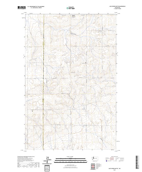
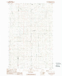 1989 Jack Woods Butte1989 Print · USGSThe eastern Washington high country at the end of the eighties shows a landscape of cattle draws and remote junctions. Trace family history at Lafollette Cem and explore features like Jack Woods Butte and Bagdad Junction.
 - 2011 Map of Jack Woods Butte, 2011 Print
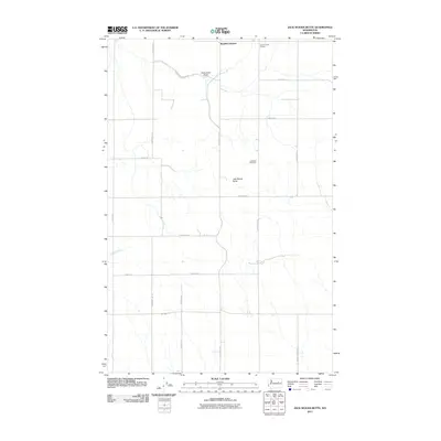 2011 Jack Woods Butte2011 Print · USGSCovers Bagdad Junction, including Grant County, Lincoln County, and other nearby areas
 - 2013 Map of Jack Woods Butte, 2013 Print
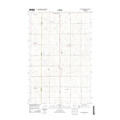 2013 Jack Woods Butte2013 Print · USGSCovers Bagdad Junction, including Grant County, Lincoln County, and other nearby areas
 - 2017 Map of Jack Woods Butte, 2017 Print
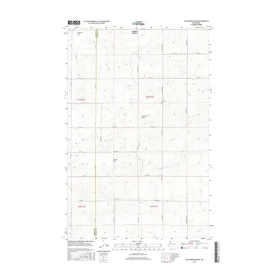 2017 Jack Woods Butte2017 Print · USGSCovers Bagdad Junction, including Grant County, Lincoln County, and other nearby areas
 - 2020 Map of Jack Woods Butte, 2020 Print
 2020 Jack Woods Butte2020 Print · USGSCovers Bagdad Junction, including Grant County, Lincoln County, and other nearby areas
 - 2023 Map of Jack Woods Butte, 2023 Print
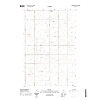
 2023 Jack Woods Butte2023 Print · USGSThis rural portion of the Washington plateau at the Grant and Lincoln County line showcases a landscape of deep draws and historic family homesteads. Researchers can locate the Lafollette Cem, the namesake Jack Woods Butte, and the remote Bagdad Junction.
End of results
Showing maps 1-12 of 12
Top cities near Bagdad Junction
- Electric City historical maps
- Grand Coulee historical maps
- Wilbur historical maps
- Almira historical maps
- Elmer City historical maps
- Hartline historical maps
Frequently asked questions
- What are the different types of historical maps available for Bagdad Junction?
- What is the oldest map of Bagdad Junction?
- Where can I purchase historical maps of Bagdad Junction for my home or office?
- Where can I download high-res historical maps of Bagdad Junction?
- Are there historical topographic maps available for Bagdad Junction?
- Is there historical aerial imagery available for Bagdad Junction?
- Where are historical maps of Bagdad Junction sourced from?