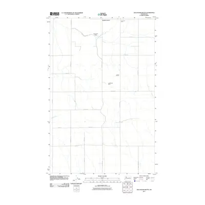
2011 Map of Jack Woods Butte
USGS Topo · Published 2011About this map
Bagdad Junction sits at the northern edge of this high-plateau landscape, where the agricultural grid of Lincoln County meets the intermittent drainages of the Devils Creek basin. The area's social and community structure is anchored by the Grand Coulee Grange and the isolated Lafollette Cemetery, reflecting the rural settlement patterns of this corner of Washington. The terrain is defined by basaltic features and deep incisions like Klobuschar Draw and the prominent Jack Woods Butte, which rises above the surrounding section lines.
Find a feature on this map
24 named features on this map. Tap any name to fly to it.
Don’t see what you’re looking for? This feature index may not catch every label — zoom into the map to look around manually.
Map Details
Editions of this 2011 Jack Woods Butte Map
This is the sole edition of this map. No revisions or reprints were ever made.
Other maps of this area

1948 · Grand Coulee Dam
USGS Topo · 1:62,500

1950 · Grand Coulee Dam
USGS Topo · 1:62,500

1953 · Ritzville
USGS Topo · 1:250,000

1959 · Ritzville
USGS Topo · 1:250,000

1965 · Ritzville
USGS Topo · 1:250,000

1968 · Hartline
USGS Topo · 1:24,000

1968 · Steamboat Rock SE
USGS Topo · 1:24,000
1968 · Electric City
USGS Topo · 1:24,000

1969 · Almira
USGS Topo · 1:24,000

1969 · Govan
USGS Topo · 1:24,000