Old Maps of Old Toroda, Washington for Metal Detecting
Plan your next treasure hunt with 9 historic maps of Old Toroda. Find old homesites, ghost towns, trails, and gathering spots that may be lost to time — perfect for identifying promising metal detecting locations.
- Locate forgotten sites: Uncover places like long-lost settlements, abandoned rail lines, or gathering spots.
- Plan better hunts: Use map overlays combined with LiDAR or satellite views to narrow in on historically rich areas.
- Made for detectorists: Thousands of hobbyists use these maps to discover relics, coins, and hidden history.
Use these historic maps to boost your research and find new opportunities beneath the surface of Old Toroda.
Old Toroda, WA maps
(9)- 1904 Map of Republic
 1904 Republic1904 Print · USGSFerry County was at the height of its gold boom in the early nineteen-hundreds, anchored by the rapid growth of Republic. Genealogists and historians can trace the early rail stops and mine sites of the era, from the Lone Star Mine to the depot at Seward Station.4 unique versions available
 - 1951 Map of Bodie Mountain
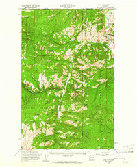
 1951 Bodie Mountain1951 Print · USGSNorthern Washington mountain life and mining are documented here at mid-century as the forest services mapped the high ridges. Trace local sites like the Sheridan Mine, the settlement of Toroda, and peaks from Harvard Mtn to Hardscrabble Mtn.
 - 1954 Map of Okanogan, 1964 Print
 1954 Okanogan1964 Print · USGSNorth Central Washington’s interior comes into focus during the mid-fifties, showing the rise of the Columbia River reservoir system. Genealogists and historians can trace the Great Northern rail line and locate historical mining operations at the Mountain Lion Mine or Gold Hill Mine.2 unique versions available
 - 1958 Map of Okanogan
 1958 Okanogan1958 Print · USGSThe Okanogan River valley and the Colville Indian Reservation are shown here in the late fifties, during a period of established river and rail commerce. Researchers can trace the Great Northern line through Oroville or locate landmarks like the Knowlton School and Orient Ranger Station.
 - 1958 Map of Bodie Mtn, 1961 Print
 1958 Bodie Mtn1961 Print · USGSThe northern reaches of Okanogan and Ferry Counties are captured here in the late fifties, as mining and forestry defined life along the Canadian border. Genealogists and historians can trace old settlements like Toroda and Bodie, or locate industrial sites such as the Sheridan Mine and the Magnetic Mine.
 - 1984 Map of Republic
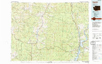 1984 Republic1984 Print · USGSThe Okanogan Highlands and Kettle River Range are shown in the mid-1980s, documenting a landscape shaped by mining and timber. Genealogists can trace old settlements like Bodie and Toroda, or locate historic workings such as the Knob Hill Mine and First Thought Mine.
 - 1988 Map of Bodie
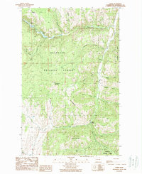 1988 Bodie1988 Print · USGSThe Okanogan Highlands are captured here in the late eighties, showing the remote forest landscapes of northern Washington. Researchers can trace the legacy of mining and mountain settlement near Bodie, Old Toroda, and the high ridges of Toroda Mountain.
 - 2001 Map of Bodie, 2004 Print
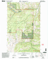 2001 Bodie2004 Print · USGSOkanogan County’s rugged interior is captured here at the start of the millennium, showing the remote settlement and mining landscape. You can trace the high-country drainages and historic resource extraction sites like the Mine Prospect or family-named landmarks like Toroda Mountain and Beth Lake.
 - 2023 Map of Bodie, 2023 Print
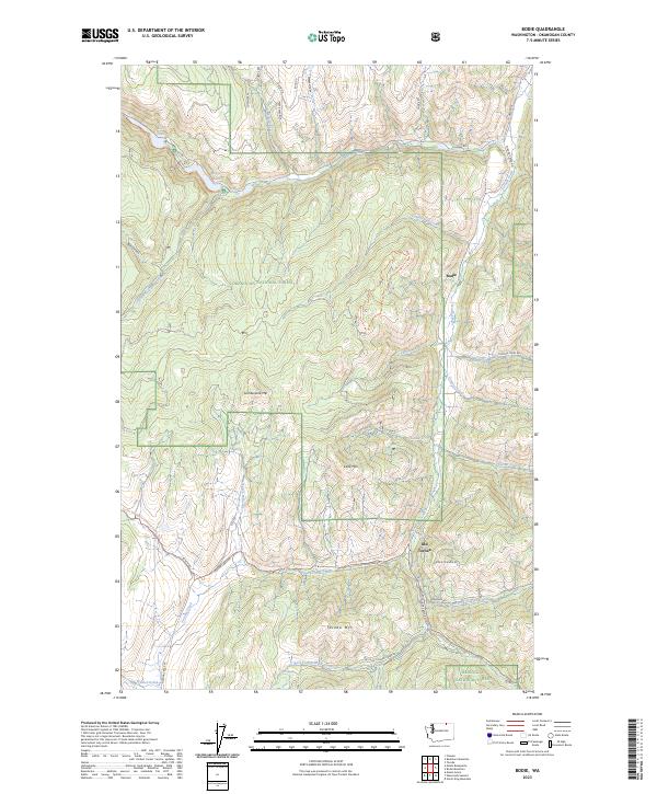 2023 Bodie2023 Print · USGSThe Okanogan Highlands come into focus in this recent survey of the rugged territory around Bodie and Old Toroda. Researchers can trace the high-country drainages of Toroda Creek and find the routes of the Pacific Northwest National Scenic Trl.
End of results
Showing maps 1-9 of 9
Top cities near Old Toroda
Frequently asked questions
- What are the different types of historical maps available for Old Toroda?
- What is the oldest map of Old Toroda?
- Where can I purchase historical maps of Old Toroda for my home or office?
- Where can I download high-res historical maps of Old Toroda?
- Are there historical topographic maps available for Old Toroda?
- Is there historical aerial imagery available for Old Toroda?
- Where are historical maps of Old Toroda sourced from?