Old Maps of Cusick, Washington for Hiking & Exploration
Hike through history with 12 historic maps of Cusick. Explore old trails, ghost towns, and forgotten backroads — perfect for outdoor adventurers and local explorers.
- Rediscover forgotten places: Map out old mining camps, roads, and footpaths that no longer exist on modern maps.
- Layer with modern tools: Combine with LiDAR or satellite views to plan hikes through historical terrain.
- Made for exploration: Popular among hikers, overlanders, and local history lovers.
Use these maps to find adventure and explore the hidden past of Cusick.
Cusick, WA maps
(12)- 1936 Map of Newport
 1936 Newport1936 Print · USGSThe Pend Oreille River valley in the 1930s reveals a landscape of railroad towns and timber outposts along the Idaho border. Genealogists can locate family-named school districts like Locke Sch and Otter Creek Sch, alongside settlements at Dalkena, Cusick, and Scotia.2 unique versions available
 - 1942 Map of Newport
 1942 Newport1942 Print · USGSPend Oreille River country is captured here during the early 1940s, showing the vital rail and river links between Newport and the mountain frontier. Researchers can trace family homesteads near old schools like Fertile Valley Sch or locate the Indian Mission and Dalkena mill site.3 unique versions available
 - 1958 Map of Sandpoint, 1966 Print
 1958 Sandpoint1966 Print · USGSThe Idaho Panhandle and Northeast Washington are shown here in the late fifties, when timber and hydroelectric power drove the local economy. Trace family roots in rail-side towns like Cusick or Metaline Falls, and locate landmarks like the Albeni Falls Dam or Falls Ranger Station.2 unique versions available
 - 1963 Map of Sandpoint
 1963 Sandpoint1963 Print · USGSNorthern Idaho and eastern Washington are shown in the early sixties as a high-country network of timber, mining, and rail. Genealogists and historians can trace the Great Northern line through Metaline Falls, Bonners Ferry, and past the Finch Mine.
 - 1968 Map of Cusick
 1968 Cusick1968 Print · USGSAlong the Pend Oreille River in the mid-1960s, the riverfront settlements and tribal lands of northeast Washington were clearly defined. Researchers can trace the boundaries of the Kalispel Indian Reservation and locate landmarks like the Indian Community Hall and County Fairground.4 unique versions available
 - 1984 Map of Chewelah
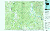 1984 Chewelah1984 Print · USGSNortheastern Washington in the mid-1980s is documented here through its valley settlements and mountain mining districts. Researchers can trace the Burlington Northern line between Springdale and Addy, or locate historical operations like the Wells Fargo Mine and Keystone Mine.
 - 1992 Map of Cusick, 1996 Print
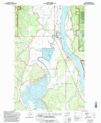 1992 Cusick1996 Print · USGSThe Pend Oreille River valley during the early nineties shows a landscape of riverfront settlements and managed forest lands. Genealogists and local historians can locate civic landmarks like the County Fairground, the Kalispel Indian Reservation, and the town of Usk.2 unique versions available
 - 2011 Map of Cusick, 2011 Print
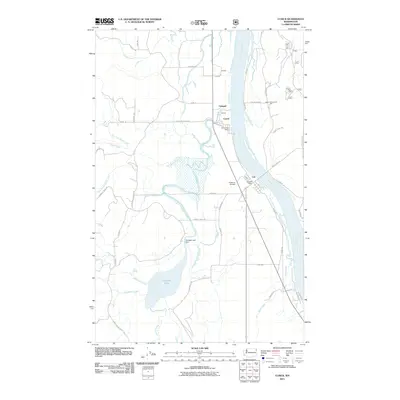 2011 Cusick2011 Print · USGSThe river valley of northeastern Washington is captured here in the early twenty-first century as it centers on the Pend Oreille corridor. Genealogists and researchers can locate landmarks like the Indian Community Hall, Onserud Airfield, and the small community of Usk.
 - 2014 Map of Cusick, 2014 Print
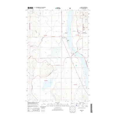 2014 Cusick2014 Print · USGSThe Pend Oreille River valley near Cusick is captured here in the mid-2010s, showing the riverside settlements and the expansive Calispell Lake wetlands. Genealogists and local historians can locate the Indian Community Hall, Usk post office, and family-named routes like Beeman Rd or Pease Rd.
 - 2017 Map of Cusick, 2017 Print
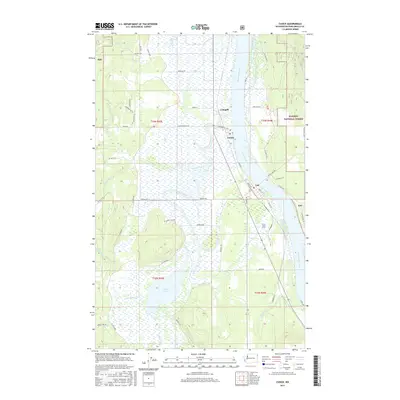 2017 Cusick2017 Print · USGSThe Pend Oreille River valley transitions from lush wetlands to national forest in this 2017 survey. Local historians can trace the riverside communities of Cusick and Usk, find the Pow Wow Pk, and explore the drainage patterns of Calispell Lake.
 - 2020 Map of Cusick, 2020 Print
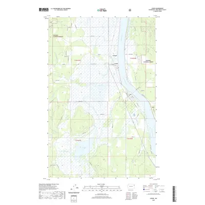 2020 Cusick2020 Print · USGSThe Pend Oreille River valley comes into focus here in the early twenty-first century, showing the enduring riverside settlements of Cusick and Usk. Researchers can trace local water systems and land use from Calispell Lake to the timbered reaches of the Kaniksu National Forest.
 - 2023 Map of Cusick, 2023 Print
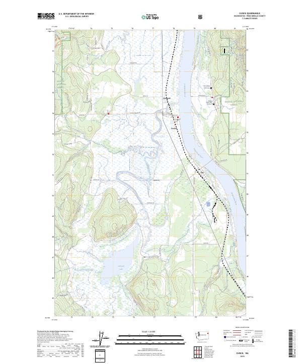 2023 Cusick2023 Print · USGSThe Pend Oreille River valley comes into focus in this recent survey of northeastern Washington. Genealogists and local historians can locate tribal landmarks like the Old Kalispel Indian Cem and trace the rural reaches of Calispell Lake and the town of Cusick.
End of results
Showing maps 1-12 of 12
Frequently asked questions
- What are the different types of historical maps available for Cusick?
- What is the oldest map of Cusick?
- Where can I purchase historical maps of Cusick for my home or office?
- Where can I download high-res historical maps of Cusick?
- Are there historical topographic maps available for Cusick?
- Is there historical aerial imagery available for Cusick?
- Where are historical maps of Cusick sourced from?