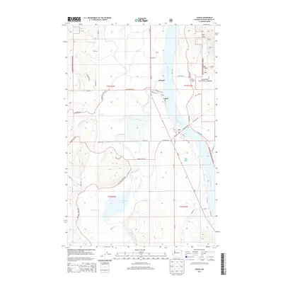
2014 Map of Cusick
USGS Topo · Published 2014About this map
The Pend Oreille River dictates the landscape of this Washington valley, where the neighboring settlements of Cusick and Usk sit along its western bank. This 2014 survey documents a region defined by its water systems, from the expansive Calispell Lake in the southwest to the intricate drainage of Calispell Creek and Davis Creek. The map provides a clear view of the rural infrastructure connecting these riverside communities, including Monumental Rd and the Indian Community Hall located east of the river on the edge of the Kaniksu National Forest. Smaller residential clusters like Calispell and Kirchan are visible further inland, tucked between the timbered slopes of the national forest and the fertile bottomlands. Researchers can trace the varied terrain from the river's edge up to Trimble Creek, observing how local roads like Flowery Trail Rd and Westside Calispell Rd navigate the valley floor.
Find a feature on this map
56 named features on this map. Tap any name to fly to it.
Don’t see what you’re looking for? This feature index may not catch every label — zoom into the map to look around manually.
Map Details
Editions of this 2014 Cusick Map
This is the sole edition of this map. No revisions or reprints were ever made.
Other maps of this area

1936 · Newport
USGS Topo · 1:96,000

1942 · Newport
USGS Topo · 1:125,000

1958 · Sandpoint
USGS Topo · 1:250,000

1963 · Sandpoint
USGS Topo · 1:250,000

1968 · Cusick
USGS Topo · 1:24,000
1968 · Winchester Peak
USGS Topo · 1:24,000
1968 · Diamond Lake
USGS Topo · 1:24,000
1968 · Jared
USGS Topo · 1:24,000
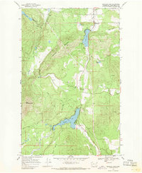
1968 · Sacheen Lake
USGS Topo · 1:24,000
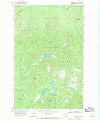
1968 · Browns Lake
USGS Topo · 1:24,000