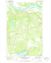
1968 Map of Diamond Lake
USGS Topo · Published 1971About this map
The Pend Oreille River flows westward through the northern reaches of this Pend Oreille County survey, defining the local geography alongside the Chicago Milwaukee St Paul and Pacific railroad line. Settlement is concentrated in the small riverfront communities of Dalkena and Furport, while the southern interior is marked by the expansive waters of Diamond Lake. This area serves as a focal point for recreation and local heritage, notably housing Camp Cowles on the lake's western shore.
Find a feature on this map
27 named features on this map. Tap any name to fly to it.
Don’t see what you’re looking for? This feature index may not catch every label — zoom into the map to look around manually.
Map Details
Editions of this 1968 Diamond Lake Map
2 editions found
Other maps of this area

1936 · Newport
USGS Topo · 1:96,000

1942 · Newport
USGS Topo · 1:125,000

1958 · Sandpoint
USGS Topo · 1:250,000

1963 · Sandpoint
USGS Topo · 1:250,000

1968 · Cusick
USGS Topo · 1:24,000
1968 · Camden
USGS Topo · 1:24,000
1968 · Newport
USGS Topo · 1:24,000
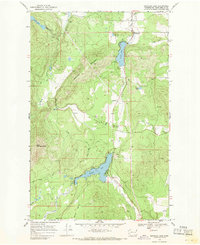
1968 · Sacheen Lake
USGS Topo · 1:24,000
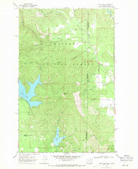
1968 · Bead Lake
USGS Topo · 1:24,000
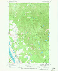
1968 · Skookum Creek
USGS Topo · 1:24,000