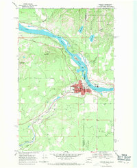
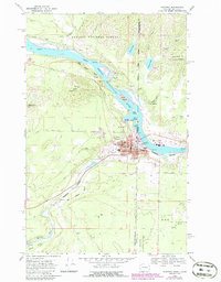
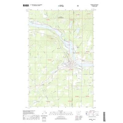
1968 Map of Newport
USGS Topo · Published 1971About this map
The Pend Oreille River serves as the focal point for this late-1960s survey, where the river serves as the state line between Washington and Idaho. The twin settlements of Newport and Oldtown form the region's primary hub, centered around the Courthouse, Hospital, and several schools such as Halstead Sch. The landscape is defined by the competition and cooperation of heavy rail, with the Great Northern and the Chicago Milwaukee St Paul and Pacific lines tracing the riverbanks and mountain bases. From the peak of Cooks Mountain down to the islands of Rat Island and Kelly Island, the map reveals a community deeply integrated with its riverine environment. Further south, smaller stops like Penrith and Scotia appear alongside the winding Little Spokane River, while the Newport Cem and various gravel pits indicate the local development patterns of the era.
Find a feature on this map
54 named features on this map. Tap any name to fly to it.
Don’t see what you’re looking for? This feature index may not catch every label — zoom into the map to look around manually.
Map Details
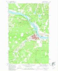
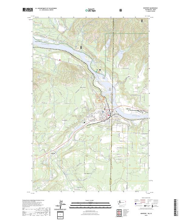
Editions of this 1968 Newport Map
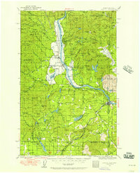
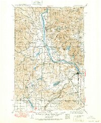
Historical Maps of Newport Through Time
9 maps found
1936 Newport
Pend Oreille County, WA
1942 Newport
Pend Oreille County, WA
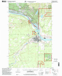
1968 Newport
Pend Oreille County, WA
1996 Newport
Pend Oreille County, WA

2011 Newport
Pend Oreille County, WA
2014 Newport
Pend Oreille County, WA
2017 Newport
Pend Oreille County, WA
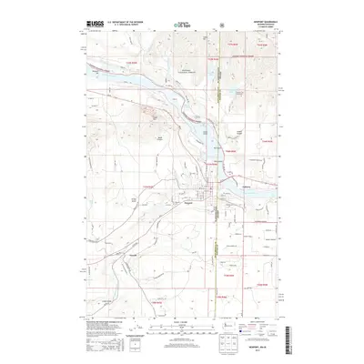
2020 Newport
Pend Oreille County, WA
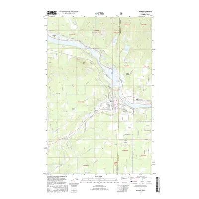
2023 Newport
Pend Oreille County, WA