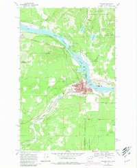
1968 Map of Newport
USGS Topo · Published 1981About this map
The Pend Oreille River serves as the dominant geographic and political boundary in this 1960s survey, separating Newport in Washington from Oldtown in Idaho. This interstate connection is anchored by a dense network of civic and educational infrastructure, including the Courthouse, High Sch, and Idaho Sch. The region's industrial and logistical importance is highlighted by the presence of two major rail lines—the Chicago Milwaukee St Paul and Pacific and the Great Northern—which follow the river's path and cut through the southern terrain near Penrith. High elevations like Cooks Mountain and Saddle Mountain, the latter topped with a Lookout Tower, provide a stark contrast to the developed riverfront. Further south, the Little Spokane River winds past the settlement of Scotia, while specialized landmarks such as Observation Point and the Newport Cem provide specific points of interest for local historians.
Find a feature on this map
40 named features on this map. Tap any name to fly to it.
Don’t see what you’re looking for? This feature index may not catch every label — zoom into the map to look around manually.
Map Details
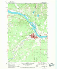
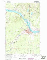
Editions of this 1968 Newport Map
Other maps of this area

1901 · Sandpoint
USGS Topo · 1:125,000

1911 · Priest Lake
USGS Topo · 1:250,000

1911 · Sandpoint
USGS Topo · 1:125,000

1913 · Priest Lake
USGS Topo · 1:250,000

1936 · Newport
USGS Topo · 1:96,000

1942 · Newport
USGS Topo · 1:125,000

1958 · Sandpoint
USGS Topo · 1:250,000

1963 · Sandpoint
USGS Topo · 1:250,000

1967 · Quartz Mtn
USGS Topo · 1:24,000
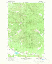
1968 · Blanchard
USGS Topo · 1:24,000