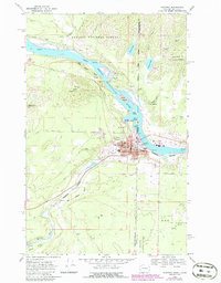
1968 Map of Newport
USGS Topo · Published 1986About this map
The Pend Oreille River serves as the dominant geographic and political spine for this region, acting as the border between Washington and Idaho. At this crossing, the twin settlements of Newport and Oldtown form a clustered urban center, with purple-tinted revisions showing mid-century growth around the Courthouse, Halstead School, and the local Hospital. The transportation network is anchored by the Burlington Northern Railroad, which follows the river valley southwest toward Penrith and Scotia, supporting a local economy historically tied to timber and transport, evidenced by a Sawmill and numerous Gravel Pits.
Find a feature on this map
38 named features on this map. Tap any name to fly to it.
Don’t see what you’re looking for? This feature index may not catch every label — zoom into the map to look around manually.
Map Details
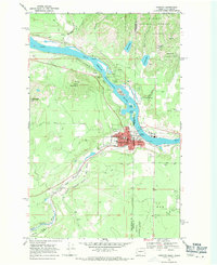
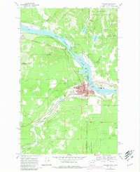
Editions of this 1968 Newport Map
Other maps of this area

1901 · Sandpoint
USGS Topo · 1:125,000

1911 · Priest Lake
USGS Topo · 1:250,000

1911 · Sandpoint
USGS Topo · 1:125,000

1913 · Priest Lake
USGS Topo · 1:250,000

1936 · Newport
USGS Topo · 1:96,000

1942 · Newport
USGS Topo · 1:125,000

1958 · Sandpoint
USGS Topo · 1:250,000

1963 · Sandpoint
USGS Topo · 1:250,000

1967 · Quartz Mtn
USGS Topo · 1:24,000
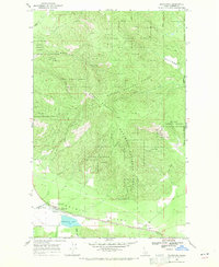
1968 · Blanchard
USGS Topo · 1:24,000