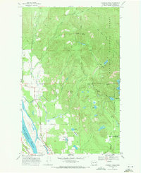
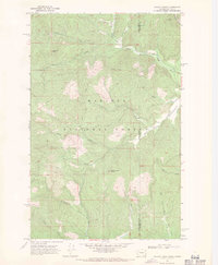
1968 Map of Skookum Creek
USGS Topo · Published 1971About this map
The Pend Oreille River flows along the western edge of this terrain, marking a distinct boundary between the river valley and the rising elevations of the Kaniksu National Forest. In the late 1960s, this area functioned as a hub for both natural resource management and scientific research, evidenced by the State Fish Hatchery near Skookum Creek and the specialized Newport Geophysical Observatory. The landscape is defined by the drainage systems of the North Fork and South Fork, which carve through high points like Cooks Mountain and Skookum Peak. Settlement is concentrated near the river, where the Skookum Community Center and Le Clerc Road serve the local population, including the residents of the Kalispel Indian Reservation. Numerous high-altitude water bodies, such as Bead Lake and Mystic Lake, suggest a land used for seasonal recreation and timber management.
Find a feature on this map
33 named features on this map. Tap any name to fly to it.
Don’t see what you’re looking for? This feature index may not catch every label — zoom into the map to look around manually.
Map Details
Editions of this 1968 Skookum Creek Map
4 editions found
Other maps of this area

1936 · Newport
USGS Topo · 1:96,000

1942 · Newport
USGS Topo · 1:125,000

1958 · Sandpoint
USGS Topo · 1:250,000

1963 · Sandpoint
USGS Topo · 1:250,000

1968 · Cusick
USGS Topo · 1:24,000
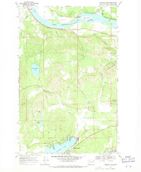
1968 · Diamond Lake
USGS Topo · 1:24,000
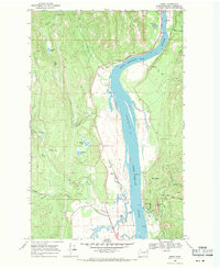
1968 · Jared
USGS Topo · 1:24,000
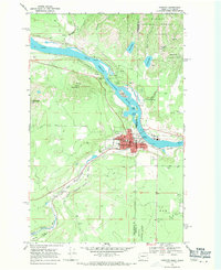
1968 · Newport
USGS Topo · 1:24,000
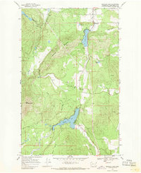
1968 · Sacheen Lake
USGS Topo · 1:24,000
1968 · Galena Point
USGS Topo · 1:24,000