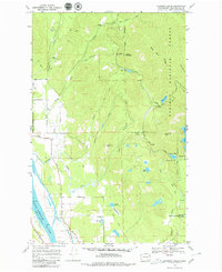
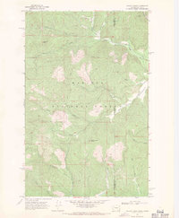
1968 Map of Skookum Creek
USGS Topo · Published 1979About this map
The Pend Oreille River flows along the western edge of this landscape, forming a natural boundary for the Kalispel Indian Reservation Bdy. Inland, the terrain is defined by the complex drainage of Skookum Creek, including its North Fork and South Fork, which carve through the high ridges of the Kaniksu National Forest. A rare piece of scientific infrastructure, the Newport Geophysical Observatory, is situated in the southeastern corner, reflecting the remote region's utility for sensitive measurements away from urban interference.
Find a feature on this map
35 named features on this map. Tap any name to fly to it.
Don’t see what you’re looking for? This feature index may not catch every label — zoom into the map to look around manually.
Map Details
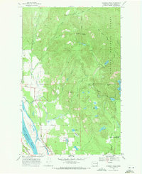
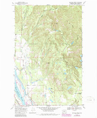
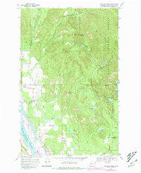
Editions of this 1968 Skookum Creek Map
4 editions found
Other maps of this area

1936 · Newport
USGS Topo · 1:96,000

1942 · Newport
USGS Topo · 1:125,000

1958 · Sandpoint
USGS Topo · 1:250,000

1963 · Sandpoint
USGS Topo · 1:250,000

1968 · Cusick
USGS Topo · 1:24,000
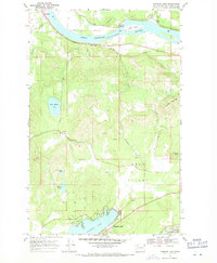
1968 · Diamond Lake
USGS Topo · 1:24,000
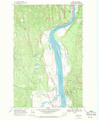
1968 · Jared
USGS Topo · 1:24,000
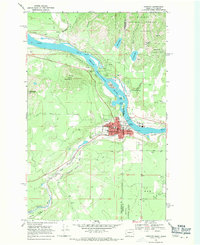
1968 · Newport
USGS Topo · 1:24,000
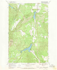
1968 · Sacheen Lake
USGS Topo · 1:24,000
1968 · Galena Point
USGS Topo · 1:24,000