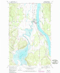
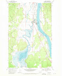
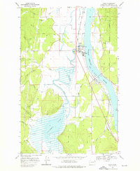
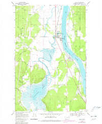
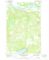
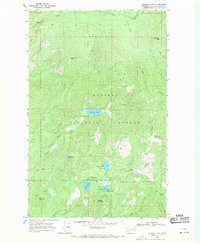
1968 Map of Cusick
USGS Topo · Published 1968About this map
The Pend Oreille River dominates this mid-century landscape, flowing northward past the riverfront towns of Cusick and Usk. This area reflects a complex intersection of land use, where the Kalispel Indian Reservation meets the eastern edge of the Kaniksu National Forest. The local economy and infrastructure are evidenced by the County Fairground, a Gaging Station on the river, and the Indian Community Hall near the riverbank.
Find a feature on this map
30 named features on this map. Tap any name to fly to it.
Don’t see what you’re looking for? This feature index may not catch every label — zoom into the map to look around manually.
Map Details
Editions of this 1968 Cusick Map
4 editions found
Other maps of this area

1936 · Newport
USGS Topo · 1:96,000

1942 · Newport
USGS Topo · 1:125,000

1958 · Sandpoint
USGS Topo · 1:250,000

1963 · Sandpoint
USGS Topo · 1:250,000
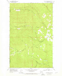
1968 · Winchester Peak
USGS Topo · 1:24,000
1968 · Diamond Lake
USGS Topo · 1:24,000
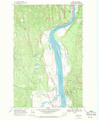
1968 · Jared
USGS Topo · 1:24,000
1968 · Sacheen Lake
USGS Topo · 1:24,000
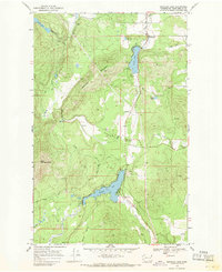
1968 · Browns Lake
USGS Topo · 1:24,000
1968 · Tacoma Peak
USGS Topo · 1:24,000