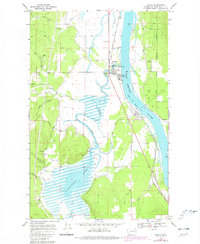
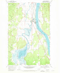
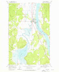
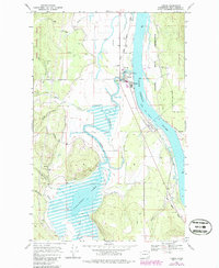
1968 Map of Cusick
USGS Topo · Published 1980About this map
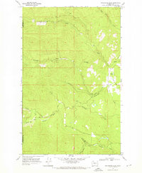
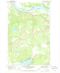
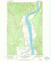
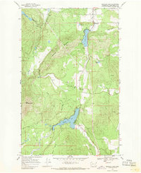
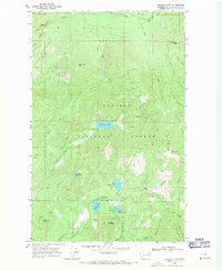
The Pend Oreille River corridor defines this portion of northeastern Washington, where the town of Cusick and the smaller settlement of Usk serve as local hubs along the eastern edge of the Kalispel Indian Reservation. The river's normal pool elevation is meticulously documented, illustrating its role as a central geographic feature. To the west, the landscape transitions into a complex drainage system dominated by Calispell Lake and the meandering Calispell Creek, which is fed by numerous tributaries such as Winchester Creek and Trimble Creek.
Find a feature on this map
29 named features on this map. Tap any name to fly to it.
Don’t see what you’re looking for? This feature index may not catch every label — zoom into the map to look around manually.
Map Details
Editions of this 1968 Cusick Map
4 editions found
Other maps of this area

1936 · Newport
USGS Topo · 1:96,000

1942 · Newport
USGS Topo · 1:125,000

1958 · Sandpoint
USGS Topo · 1:250,000

1963 · Sandpoint
USGS Topo · 1:250,000
1968 · Cusick
USGS Topo · 1:24,000
1968 · Winchester Peak
USGS Topo · 1:24,000
1968 · Diamond Lake
USGS Topo · 1:24,000
1968 · Jared
USGS Topo · 1:24,000
1968 · Sacheen Lake
USGS Topo · 1:24,000
1968 · Browns Lake
USGS Topo · 1:24,000