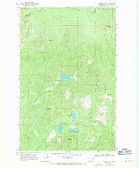
1968 Map of Browns Lake
USGS Topo · Published 1971About this map
Kaniksu National Forest defines the character of this 1968 field-checked landscape, where a dense network of water bodies and high peaks sit along the Pelke Divide. The terrain is marked by high-altitude features like South Baldy, which is topped by a Lookout Tower, and Cee Cee Ah Peak to the northwest. This area serves as a significant drainage basin, with Mill Creek, Solo Creek, and Nola Creek flowing through the northern ridges.
Find a feature on this map
30 named features on this map. Tap any name to fly to it.
Don’t see what you’re looking for? This feature index may not catch every label — zoom into the map to look around manually.
Map Details
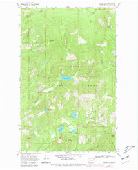
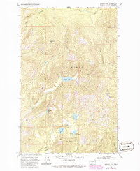
Editions of this 1968 Browns Lake Map
3 editions found
Other maps of this area

1934 · Metaline
USGS Topo · 1:125,000

1936 · Newport
USGS Topo · 1:96,000

1942 · Metaline
USGS Topo · 1:125,000

1942 · Newport
USGS Topo · 1:125,000

1958 · Sandpoint
USGS Topo · 1:250,000

1963 · Sandpoint
USGS Topo · 1:250,000
1967 · North Baldy
USGS Topo · 1:24,000
1967 · Gleason Mtn
USGS Topo · 1:24,000
1967 · Ruby
USGS Topo · 1:24,000

1968 · Cusick
USGS Topo · 1:24,000