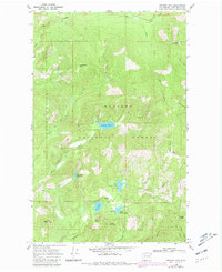
1968 Map of Browns Lake
USGS Topo · Published 1981About this map
Kaniksu National Forest defines this high-altitude landscape in Pend Oreille County, where the topography centers on a series of glacial lakes and prominent peaks. The map reveals a remote wilderness terrain organized around Browns Lake, North Skookum Lake, and South Skookum Lake, each featuring designated Campground sites that suggest the area's role in mid-century recreation and forest management. Higher elevations are marked by distinctive landmarks such as Cee Cee Ah Peak and South Baldy, the latter of which features a Lookout Tower used for fire surveillance. The drainage network is complex, with Cee Cee Ah Creek and Skookum Creek carving through the mountains. Evidence of early resource exploration persists through labels for a Prospect and a Mine near the Pelke Divide, while a network of Trail and Jeep Trail routes provides the only passage through the dense woodland.
Find a feature on this map
30 named features on this map. Tap any name to fly to it.
Don’t see what you’re looking for? This feature index may not catch every label — zoom into the map to look around manually.
Map Details
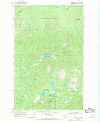
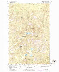
Editions of this 1968 Browns Lake Map
3 editions found
Other maps of this area

1934 · Metaline
USGS Topo · 1:125,000

1936 · Newport
USGS Topo · 1:96,000

1942 · Metaline
USGS Topo · 1:125,000

1942 · Newport
USGS Topo · 1:125,000

1958 · Sandpoint
USGS Topo · 1:250,000

1963 · Sandpoint
USGS Topo · 1:250,000
1967 · North Baldy
USGS Topo · 1:24,000
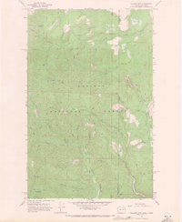
1967 · Gleason Mtn
USGS Topo · 1:24,000
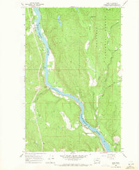
1967 · Ruby
USGS Topo · 1:24,000

1968 · Cusick
USGS Topo · 1:24,000