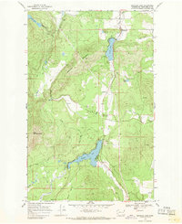
1968 Map of Sacheen Lake
USGS Topo · Published 1971About this map
Sacheen Lake and Davis Lake anchor this topographic study of the Selkirk Mountain foothills during the late 1960s. The landscape is defined by the drainage systems of Deer Valley and Fertile Valley, where numerous springs feed into the West Branch Little Spokane River. Settlement is concentrated around the water, with Camp Spaulding on the shores of Davis Lake and the community of Deer Valley situated between the peaks.
Find a feature on this map
31 named features on this map. Tap any name to fly to it.
Don’t see what you’re looking for? This feature index may not catch every label — zoom into the map to look around manually.
Map Details
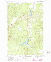
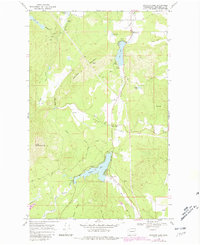
Editions of this 1968 Sacheen Lake Map
Other maps of this area

1936 · Newport
USGS Topo · 1:96,000

1942 · Newport
USGS Topo · 1:125,000

1958 · Sandpoint
USGS Topo · 1:250,000

1963 · Sandpoint
USGS Topo · 1:250,000

1968 · Cusick
USGS Topo · 1:24,000
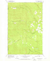
1968 · Winchester Peak
USGS Topo · 1:24,000
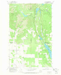
1968 · Fan Lake
USGS Topo · 1:24,000
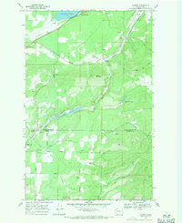
1968 · Camden
USGS Topo · 1:24,000
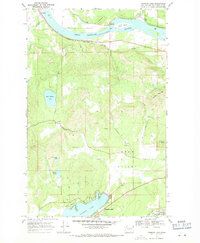
1968 · Diamond Lake
USGS Topo · 1:24,000
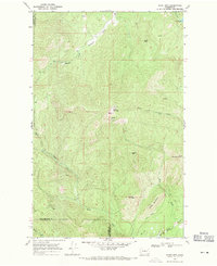
1968 · Boyer Mtn
USGS Topo · 1:24,000