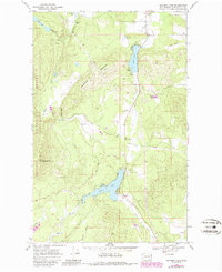
1968 Map of Sacheen Lake
USGS Topo · Published 1986About this map
Sacheen Lake and Davis Lake anchor this 1960s survey of the wooded terrain within the Kaniksu National Forest. The landscape is a study in natural resource management and early recreational development, featuring a Powerhouse and Gaging Station near Calispell Falls in the north, contrasted by a Ski Lift and Landing Strip further south. The settlement at Deer Valley and the presence of Camp Spaulding suggest a region transitioning into a destination for seasonal visitors and outdoorsmen.
Find a feature on this map
33 named features on this map. Tap any name to fly to it.
Don’t see what you’re looking for? This feature index may not catch every label — zoom into the map to look around manually.
Map Details
Editions of this 1968 Sacheen Lake Map
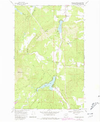
Other maps of this area

1936 · Newport
USGS Topo · 1:96,000

1942 · Newport
USGS Topo · 1:125,000

1958 · Sandpoint
USGS Topo · 1:250,000

1963 · Sandpoint
USGS Topo · 1:250,000

1968 · Cusick
USGS Topo · 1:24,000
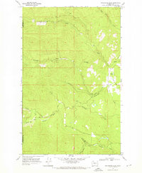
1968 · Winchester Peak
USGS Topo · 1:24,000
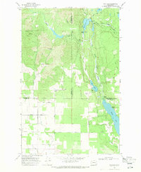
1968 · Fan Lake
USGS Topo · 1:24,000
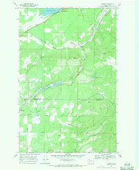
1968 · Camden
USGS Topo · 1:24,000
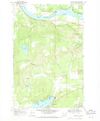
1968 · Diamond Lake
USGS Topo · 1:24,000
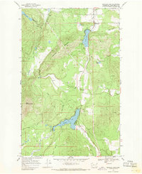
1968 · Sacheen Lake
USGS Topo · 1:24,000