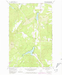
1968 Map of Sacheen Lake
USGS Topo · Published 1987About this map
Sacheen Lake and the Little Spokane River drainage define this section of the Selkirk Mountains foothills during the late 1960s. The landscape is a complex network of glacial lakes and valleys, where Deer Valley and Fertile Valley provide the primary corridors for settlement and transit. Infrastructure supporting the regional timber and water management industries is evident through features like the North Aqueduct, a Powerhouse, and a Gaging Station near the shores of Calispell Lake.
Find a feature on this map
33 named features on this map. Tap any name to fly to it.
Don’t see what you’re looking for? This feature index may not catch every label — zoom into the map to look around manually.
Map Details
Editions of this 1968 Sacheen Lake Map
Other maps of this area

1936 · Newport
USGS Topo · 1:96,000

1942 · Newport
USGS Topo · 1:125,000

1958 · Sandpoint
USGS Topo · 1:250,000

1963 · Sandpoint
USGS Topo · 1:250,000

1968 · Cusick
USGS Topo · 1:24,000
1968 · Winchester Peak
USGS Topo · 1:24,000
1968 · Fan Lake
USGS Topo · 1:24,000
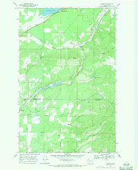
1968 · Camden
USGS Topo · 1:24,000
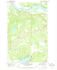
1968 · Diamond Lake
USGS Topo · 1:24,000
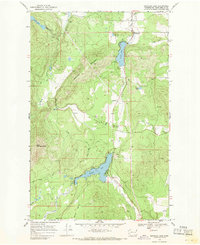
1968 · Sacheen Lake
USGS Topo · 1:24,000