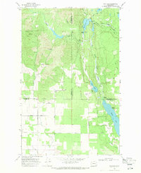
1968 Map of Fan Lake
USGS Topo · Published 1971About this map
Fan Lake and the northern reach of Eloika Lake dominate this landscape at the intersection of Stevens, Pend Oreille, and Spokane counties. The map captures a transition from the lower agricultural plains to the timbered highlands, marked by the presence of a Grange Hall and several Gravel Pits along the county boundaries. The water system is particularly intricate, featuring the W Branch Little Spokane River feeding into Horseshoe Lake before reaching the larger basins below.
Find a feature on this map
33 named features on this map. Tap any name to fly to it.
Don’t see what you’re looking for? This feature index may not catch every label — zoom into the map to look around manually.
Map Details
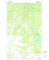
Editions of this 1968 Fan Lake Map
2 editions found
Other maps of this area

1901 · Spokane
USGS Topo · 1:125,000

1927 · Chewelah
USGS Topo · 1:125,000

1930 · Chewelah
USGS Topo · 1:125,000

1936 · Newport
USGS Topo · 1:96,000

1942 · Newport
USGS Topo · 1:125,000

1944 · Clayton
USGS Topo · 1:62,500

1949 · Deer Park
USGS Topo · 1:62,500

1950 · Clayton
USGS Topo · 1:62,500

1951 · Deer Park
USGS Topo · 1:62,500

1955 · Spokane
USGS Topo · 1:250,000