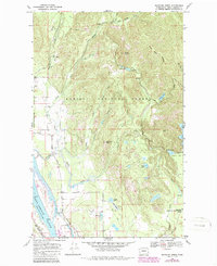
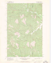
1968 Map of Skookum Creek
USGS Topo · Published 1981About this map
The Kalispel Indian Reservation occupies the western edge of this landscape along the banks of the Pend Oreille River. This 1960s survey, updated in the mid-1980s, reveals a territory defined by heavy forest management and specialized land use, including the Newport Geophysical Observatory (USGS) tucked away in the eastern hills and a State Fish Hatchery on Skookum Creek.
Find a feature on this map
42 named features on this map. Tap any name to fly to it.
Don’t see what you’re looking for? This feature index may not catch every label — zoom into the map to look around manually.
Map Details
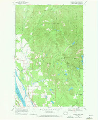
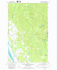
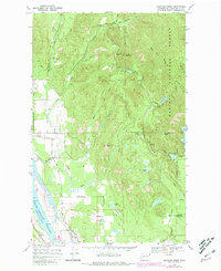
Editions of this 1968 Skookum Creek Map
4 editions found
Other maps of this area

1936 · Newport
USGS Topo · 1:96,000

1942 · Newport
USGS Topo · 1:125,000

1958 · Sandpoint
USGS Topo · 1:250,000

1963 · Sandpoint
USGS Topo · 1:250,000

1968 · Cusick
USGS Topo · 1:24,000
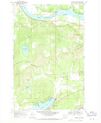
1968 · Diamond Lake
USGS Topo · 1:24,000
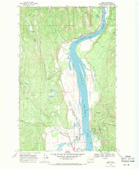
1968 · Jared
USGS Topo · 1:24,000
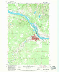
1968 · Newport
USGS Topo · 1:24,000
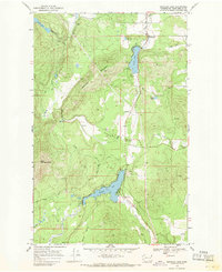
1968 · Sacheen Lake
USGS Topo · 1:24,000
1968 · Galena Point
USGS Topo · 1:24,000