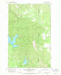
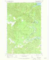
1968 Map of Bead Lake
USGS Topo · Published 1971About this map
Kaniksu National Forest defines the character of this 1960s landscape, straddling the rugged border between Washington and Idaho. The terrain is shaped by the presence of Bead Lake and Marshall Lake, which serve as focal points for mid-century recreation, as evidenced by the designated Campgrounds along the shoreline. A notable scientific installation, the Newport Geophysical Observatory (USC&GS), sits in the southwest corner, highlighting the area's role in federal monitoring and research during this era.
Find a feature on this map
33 named features on this map. Tap any name to fly to it.
Don’t see what you’re looking for? This feature index may not catch every label — zoom into the map to look around manually.
Map Details
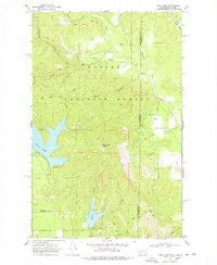
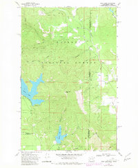
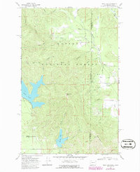
Editions of this 1968 Bead Lake Map
4 editions found
Other maps of this area

1901 · Sandpoint
USGS Topo · 1:125,000

1911 · Priest Lake
USGS Topo · 1:250,000

1911 · Sandpoint
USGS Topo · 1:125,000

1913 · Priest Lake
USGS Topo · 1:250,000

1936 · Newport
USGS Topo · 1:96,000

1942 · Newport
USGS Topo · 1:125,000

1958 · Sandpoint
USGS Topo · 1:250,000

1963 · Sandpoint
USGS Topo · 1:250,000

1967 · Quartz Mtn
USGS Topo · 1:24,000
1967 · Outlet Bay
USGS Topo · 1:24,000