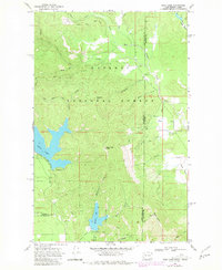
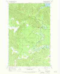
1968 Map of Bead Lake
USGS Topo · Published 1981About this map
Bead Lake and Marshall Lake sit within the timbered landscape of the Kaniksu National Forest, straddling the border between Washington and Idaho in the late 1960s. This survey, updated with revisions from 1977, details the hydrology of the West Branch Priest River and the complex drainage network of creeks like Mosquito Creek and Tunnel Creek.
Find a feature on this map
34 named features on this map. Tap any name to fly to it.
Don’t see what you’re looking for? This feature index may not catch every label — zoom into the map to look around manually.
Map Details
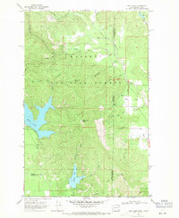
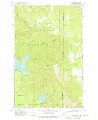
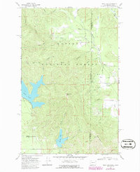
Editions of this 1968 Bead Lake Map
4 editions found
Other maps of this area

1901 · Sandpoint
USGS Topo · 1:125,000

1911 · Priest Lake
USGS Topo · 1:250,000

1911 · Sandpoint
USGS Topo · 1:125,000

1913 · Priest Lake
USGS Topo · 1:250,000

1936 · Newport
USGS Topo · 1:96,000

1942 · Newport
USGS Topo · 1:125,000

1958 · Sandpoint
USGS Topo · 1:250,000

1963 · Sandpoint
USGS Topo · 1:250,000

1967 · Quartz Mtn
USGS Topo · 1:24,000
1967 · Outlet Bay
USGS Topo · 1:24,000