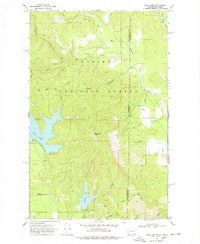
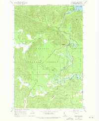
1968 Map of Bead Lake
USGS Topo · Published 1978About this map
The Newport Geophysical Observatory sits in the southwestern reaches of the Kaniksu National Forest, marking a point of scientific interest within the timbered landscape of Pend Oreille County. This 1968 field-checked survey highlights a terrain defined by deep glacial waters and intricate stream networks. Bead Lake dominates the central west, with several campgrounds lining its southern shore, while Marshall Lake and Marshall Creek lie further south.
Find a feature on this map
29 named features on this map. Tap any name to fly to it.
Don’t see what you’re looking for? This feature index may not catch every label — zoom into the map to look around manually.
Map Details
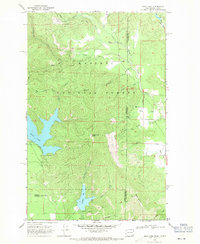
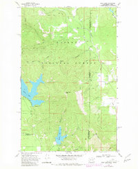
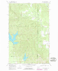
Editions of this 1968 Bead Lake Map
4 editions found
Other maps of this area

1901 · Sandpoint
USGS Topo · 1:125,000

1911 · Priest Lake
USGS Topo · 1:250,000

1911 · Sandpoint
USGS Topo · 1:125,000

1913 · Priest Lake
USGS Topo · 1:250,000

1936 · Newport
USGS Topo · 1:96,000

1942 · Newport
USGS Topo · 1:125,000

1958 · Sandpoint
USGS Topo · 1:250,000

1963 · Sandpoint
USGS Topo · 1:250,000

1967 · Quartz Mtn
USGS Topo · 1:24,000
1967 · Outlet Bay
USGS Topo · 1:24,000