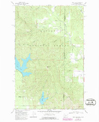
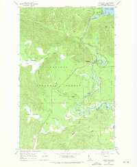
1968 Map of Bead Lake
USGS Topo · Published 1986About this map
Kaniksu National Forest defines this high-elevation landscape along the Washington and Idaho border, where the terrain is dominated by the expansive basins of Bead Lake and Marshall Lake. The 1968 survey (photorevised in 1986) reveals a backcountry network of primitive routes and pack trails, including a Pack Trail winding through the eastern portion of the quadrangle. A unique scientific presence is found at the Newport Geophysical Observatory USGS, situated in the southwestern corner of the sheet. The hydrological pattern is intricate, with numerous named drainages such as West Branch Priest River and South Ole Creek feeding the region's prominent lakes. Prominent landmarks like Bead Lake Peak and Mosquito Point provide geographic orientation for those navigating the timbered slopes and high meadows like Daggett Meadow.
Find a feature on this map
34 named features on this map. Tap any name to fly to it.
Don’t see what you’re looking for? This feature index may not catch every label — zoom into the map to look around manually.
Map Details
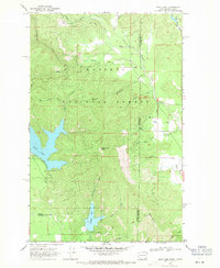
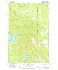
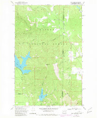
Editions of this 1968 Bead Lake Map
4 editions found
Other maps of this area

1901 · Sandpoint
USGS Topo · 1:125,000

1911 · Priest Lake
USGS Topo · 1:250,000

1911 · Sandpoint
USGS Topo · 1:125,000

1913 · Priest Lake
USGS Topo · 1:250,000

1936 · Newport
USGS Topo · 1:96,000

1942 · Newport
USGS Topo · 1:125,000

1958 · Sandpoint
USGS Topo · 1:250,000

1963 · Sandpoint
USGS Topo · 1:250,000

1967 · Quartz Mtn
USGS Topo · 1:24,000
1967 · Outlet Bay
USGS Topo · 1:24,000