2000s (21st Century) Maps of Frederickson, Washington
Explore 10 historic maps of Frederickson from the 2000s (21st Century). These maps offer a rare glimpse into what life looked like during the 2000s — showing old roads, neighborhoods, homes, and landmarks that have changed or disappeared over time.
Whether you're researching your family's past, planning a metal detecting trip, or studying how Frederickson's landscape evolved across the 2000s, these high-resolution maps are a powerful tool for exploring the history of this region.
- Focus on a specific era: All maps on this page are from the 2000s, giving you a focused view of this time period.
- See what’s changed: Compare century-old streets, trails, and buildings to today's modern landscape using overlays and satellite layers.
- Research with precision: Use these maps for genealogy, historical research, land use analysis, or educational projects.
- View, download, or print: Maps are fully viewable online in high resolution, and can be downloaded or printed for your own records.
Start exploring Frederickson's history through authentic maps from the 2000s. This is your window into the past.
Frederickson, WA maps
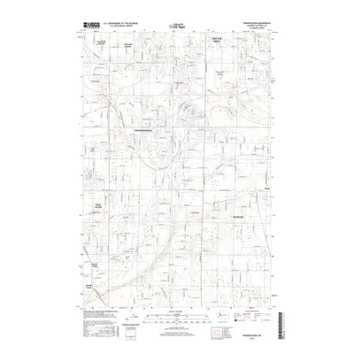
(10)- 2011 Map of Frederickson, 2011 Print
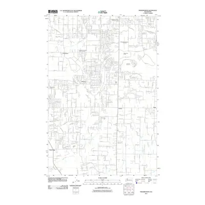 2011 Frederickson2011 Print · USGSCovers Frederickson, including South Hill, Graham, and other nearby areas
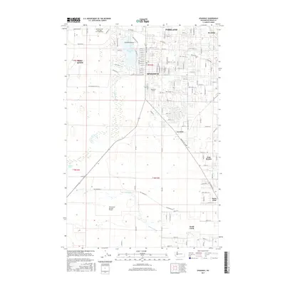
 - 2011 Map of Spanaway, 2011 Print
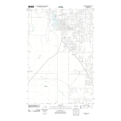 2011 Spanaway2011 Print · USGSCovers Frederickson, including Parkland, Spanaway, and other nearby areas
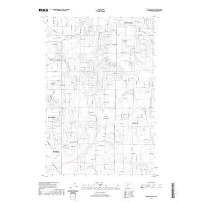
 - 2014 Map of Frederickson, 2014 Print
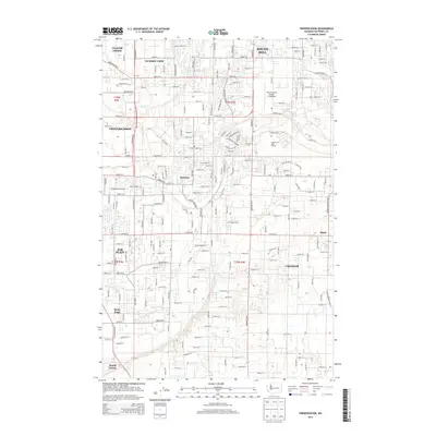 2014 Frederickson2014 Print · USGSCovers Frederickson, including South Hill, Graham, and other nearby areas
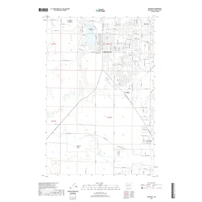
 - 2014 Map of Spanaway, 2014 Print
 2014 Spanaway2014 Print · USGSCovers Frederickson, including Parkland, Spanaway, and other nearby areas
 - 2017 Map of Frederickson, 2017 Print
 2017 Frederickson2017 Print · USGSCovers Frederickson, including South Hill, Graham, and other nearby areas
 - 2017 Map of Spanaway, 2017 Print
 2017 Spanaway2017 Print · USGSCovers Frederickson, including Parkland, Spanaway, and other nearby areas
 - 2020 Map of Frederickson, 2020 Print
 2020 Frederickson2020 Print · USGSCovers Frederickson, including South Hill, Graham, and other nearby areas
 - 2020 Map of Spanaway, 2020 Print
 2020 Spanaway2020 Print · USGSCovers Frederickson, including Parkland, Spanaway, and other nearby areas
 - 2023 Map of Frederickson, 2023 Print
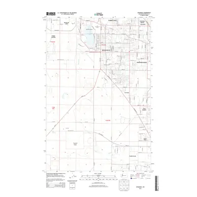
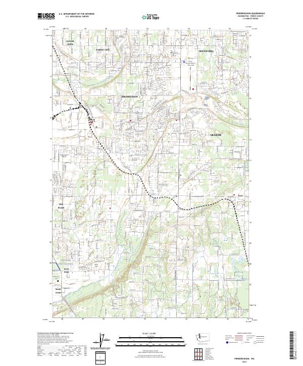 2023 Frederickson2023 Print · USGSPierce County suburban and industrial growth is captured here in the early twenty-first century. Genealogists and locals can trace the borders of Joint Base Lewis-McChord or locate Bethany Cem and Thun Field.
 - 2023 Map of Spanaway, 2023 Print
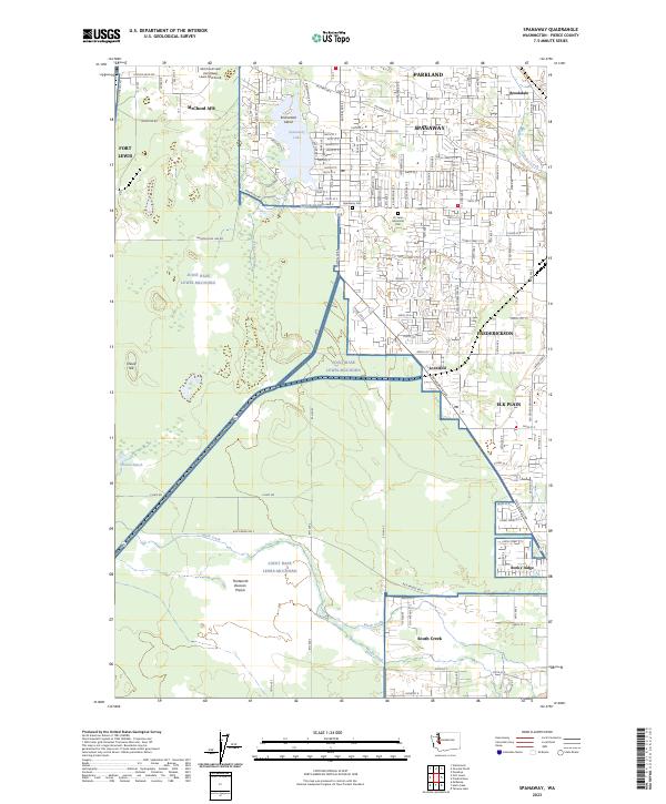 2023 Spanaway2023 Print · USGSThe residential communities of Pierce County meet the vast grounds of Joint Base Lewis-McChord in this recent survey. Researchers can trace the boundaries of McChord AFB and locate local landmarks like Spanaway Cem and Spanaway Lake.
End of results
Showing maps 1-10 of 10
Top cities near Frederickson
- Tacoma historical maps
- Federal Way historical maps
- Auburn historical maps
- South Hill historical maps
- Lakewood historical maps
- Puyallup historical maps
See more
Top neighborhoods of Frederickson
Frequently asked questions
- What are the different types of historical maps available for Frederickson?
- What is the oldest map of Frederickson?
- Where can I purchase historical maps of Frederickson for my home or office?
- Where can I download high-res historical maps of Frederickson?
- Are there historical topographic maps available for Frederickson?
- Is there historical aerial imagery available for Frederickson?
- Where are historical maps of Frederickson sourced from?