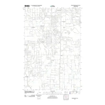
2011 Map of Frederickson
USGS Topo · Published 2011About this map
Frederickson and Graham anchor this landscape south of Tacoma, which illustrates the transition from rural land use to suburban development in the early 2010s. The area is defined by a dense grid of residential streets such as Canyon Rd E and Sunrise Pkwy E, interspersed with large-scale land uses like the Pierce County Airport-Thun Field and the Hidden Valley Landfill. Aviation history is well-represented here, with the public airfield and the smaller Shady Acres Airport to the west. Natural features including Clover Creek and Muck Creek cross the terrain, often near resource extraction sites like Jones Pit. Recreational and community hubs like Lipoma Firs Golf Course, Moss Field, and Berkeley provide a sense of the local social geography as the region expanded around established crossroads like Thrift and Rocky Ridge.
Find a feature on this map
116 named features on this map. Tap any name to fly to it.
Don’t see what you’re looking for? This feature index may not catch every label — zoom into the map to look around manually.
Map Details
Editions of this 2011 Frederickson Map
This is the sole edition of this map. No revisions or reprints were ever made.
Other maps of this area

1897 · Tacoma
USGS Topo · 1:125,000

1900 · Tacoma
USGS Topo · 1:125,000

1937 · Eatonville
USGS Topo · 1:125,000

1941 · Tanwax Lake
USGS Topo · 1:62,500

1941 · Tacoma South
USGS Topo · 1:62,500

1942 · Lake Tapps
USGS Topo · 1:62,500

1944 · Lake Tapps
USGS Topo · 1:62,500

1944 · Tacoma South
USGS Topo · 1:62,500

1944 · Ohop Valley
USGS Topo · 1:62,500

1949 · Ohop Valley
USGS Topo · 1:62,500