Old Maps of Roy, Washington for Hiking & Exploration
Hike through history with 31 historic maps of Roy. Explore old trails, ghost towns, and forgotten backroads — perfect for outdoor adventurers and local explorers.
- Rediscover forgotten places: Map out old mining camps, roads, and footpaths that no longer exist on modern maps.
- Layer with modern tools: Combine with LiDAR or satellite views to plan hikes through historical terrain.
- Made for exploration: Popular among hikers, overlanders, and local history lovers.
Use these maps to find adventure and explore the hidden past of Roy.
Roy, WA maps
(31)- 1916 Map of Chehalis
 1916 Chehalis1916 Print · USGSDuring a period of rapid development along the Chehalis and Skookumchuck Rivers, these valleys supported a thriving network of timber camps and rail towns. Genealogists can trace family landmarks like Logan Hill School, the Centralia Seminary, and the Salmon Creek Mill.4 unique versions available
 - 1940 Map of Anderson Island
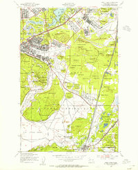
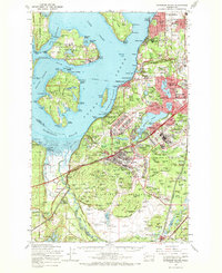
 1940 Anderson Island1940 Print · USGSCoastal Washington at the start of the 1940s shows a landscape of strategic military installations and island prisons. You can trace the development of Fort Lewis, the boundaries of the Nisqually Indian Reservation, and the layout of the Federal Penitentiary on McNeil Island.
 - 1944 Map of Yelm
 1944 Yelm1944 Print · USGSThe Nisqually River valley and the surrounding prairies are captured here during the 1940s as military and rail infrastructure reshaped the landscape. Researchers can trace the rail corridors of the Northern Pacific, the Centralia Power Plant, and local landmarks like Collins Sch and Vail.2 unique versions available
 - 1948 Map of Anderson Island, 1955 Print
 1948 Anderson Island1955 Print · USGSThe South Sound shoreline and its island communities are captured here just after the war as military and suburban footprints expanded. Genealogists and researchers can trace local landmarks from McNeil Island to the Visitation Academy and the rail stops at Nisqually Station.
 - 1948 Map of Fort Lewis, 1955 Print
 1948 Fort Lewis1955 Print · USGSFort Lewis and McChord Air Force Base are captured during the height of post-war military activity. Local researchers can trace old rail lines, the Indian Cem, and family landmarks like Davis Woods and McCall Hill.
 - 1949 Map of Yelm, 1958 Print
 1949 Yelm1958 Print · USGSYelm and the surrounding prairies of Thurston and Pierce counties are shown here just after the war. Researchers can trace family ranching sites like Fox Ranch, early schools such as Collins School, and the heavy rail activity at McKenna.
 - 1953 Map of Hoquiam
 1953 Hoquiam1953 Print · USGSSouthwest Washington in the early fifties shows a landscape shaped by timber, rail, and river commerce from the coast to the Cascades. Genealogists and historians can trace the development of timber towns like Ryderwood and the industrial hubs of Hoquiam and Kelso.2 unique versions available
 - 1957 Map of Hoquiam
 1957 Hoquiam1957 Print · USGSCoastal timber ports and inland rail hubs define Southwest Washington during the late fifties. Genealogists can trace early twentieth-century settlements like Bordeaux, Tono, and Cosmopolis alongside the expanding tracks of the Northern Pacific.
 - 1958 Map of Seattle, 1966 Print
 1958 Seattle1966 Print · USGSThe Puget Sound region in the mid-fifties showcases a balance of urban growth and Olympic wilderness. Trace the industrial waterfronts of Tacoma, old naval facilities like Keyport Naval Res, and mountain peaks like Mount Constance.3 unique versions available
 - 1958 Map of Hoquiam, 1969 Print
 1958 Hoquiam1969 Print · USGSSouthwest Washington and the Columbia River estuary appear here in the mid-century, before major landscape shifts. Researchers can trace the rail lines of the Northern Pacific, locate the Fort Henness Site, or explore the Naselle Air Force Station.2 unique versions available
 - 1959 Map of Fort Lewis, 1966 Print
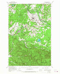
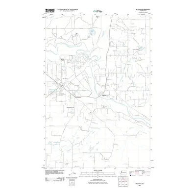
 1959 Fort Lewis1966 Print · USGSPierce County was a focal point of West Coast defense and transport in the late fifties as military installations and railroads expanded. Genealogists and historians can trace the early layout of Tillicum, the town of Roy, and massive facilities like the Mount Rainier Ordnance Depot.4 unique versions available
 - 1959 Map of McKenna, 1966 Print
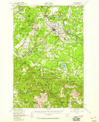
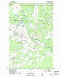
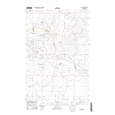
 1959 McKenna1966 Print · USGSIn the Pierce and Thurston county borderlands during the late fifties, the Nisqually River valley anchors a landscape of military training and prairie farming. Genealogists and historians can trace rail lines and early road networks through Yelm, McKenna, and the Grange Hall at Smith Prairie.3 unique versions available
 - 1959 Map of Yelm, 1968 Print
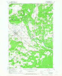
 1959 Yelm1968 Print · USGSThurston and Pierce Counties are shown in the late 1950s, a time when rail lines and ranching still dominated the prairies. You can trace the lineage of the region through the Roy Cem, Collins Sch, and early homesteads like Burnham Ranch or the Roundtree Cabin.
 - 1959 Map of Anderson Island, 1968 Print
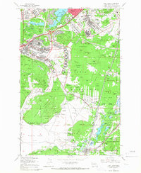
 1959 Anderson Island1968 Print · USGSPierce County in the late fifties was a hub of military and institutional activity as suburban communities began to expand south of Tacoma. Trace the mid-century footprints of the Federal Penitentiary on McNeil Island, the Mount Rainier Ordnance Depot, and Lakewood Center.
 - 1962 Map of Seattle
 1962 Seattle1962 Print · USGSThe Puget Sound region and Olympic Peninsula are shown at a peak of mid-century growth. Genealogists and historians can trace rail lines like the Pacific Coast RR or locate landmarks such as Fort Lawton and the Bothell Power Station.
 - 1962 Map of Hoquiam
 1962 Hoquiam1962 Print · USGSSouthwest Washington in the late fifties is defined by the bustling timber ports of Hoquiam and the rail-linked commerce of the interior valleys. Genealogists and historians can trace the early footprints of settlements like Raymond and Pe Ell, or locate family sites at Grand Mound Cem and Odd Fellows Cem.
 - 1975 Map of Tacoma, 1977 Print
 1975 Tacoma1977 Print · USGSThe Puget Sound region in the mid-seventies reveals a landscape of growing urban centers and massive federal installations. Genealogists and historians can trace the development of Tacoma and Olympia, or locate landmarks like the McNeil Island Penitentiary and Fort Lewis Military Reservation.
 - 1980 Map of Centralia
 1980 Centralia1980 Print · USGSThe rail and river corridors of southwestern Washington are captured here in the late twentieth century, showing the region's transition from resource extraction to managed forest land. Researchers can trace the industrial footprint of the Stoker Mine, the rails of the Union Pacific, and the early development of Centralia and Chehalis.
 - 1990 Map of Mc Kenna, 1995 Print
 1990 Mc Kenna1995 Print · USGSThurston and Pierce Counties come together along the river in the early 1990s as military and civilian landscapes intersect. Researchers can trace the layout of the Fort Lewis Military Reservation or locate family roots near Yelm and the ruins at McKenna.
 - 1991 Map of Tacoma
 1991 Tacoma1991 Print · USGSThe South Sound and Tacoma waterfront appear here in the early nineties, showing a landscape defined by deep-water inlets and massive federal installations. Researchers can trace the development of Lakewood Center or locate the historic rail lines of the Burlington Northern Railroad and Union Pacific Railroad.
 - 1997 Map of Fort Lewis, 2003 Print
 1997 Fort Lewis2003 Print · USGSFort Lewis and its surrounding Pierce County landscapes are captured in the late 1990s as the military infrastructure reached a modern peak. Genealogists and historians can trace local landmarks like Ross Cem, schools such as Hillside Sch, and the sprawling grounds of Gray Army Air Field.
 - 2011 Map of McKenna, 2011 Print
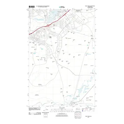
 2011 McKenna2011 Print · USGSCovers Roy, including Yelm, North Yelm, and other nearby areas
 - 2011 Map of Fort Lewis, 2011 Print
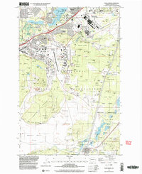
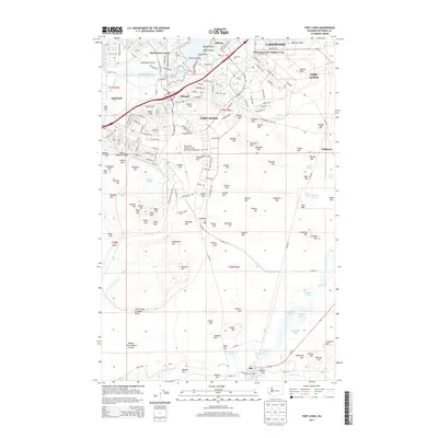
 2011 Fort Lewis2011 Print · USGSCovers Roy, including Lakewood, Fort Lewis, and other nearby areas
 - 2013 Map of McKenna, 2013 Print
 2013 McKenna2013 Print · USGSCovers Roy, including Yelm, North Yelm, and other nearby areas
 - 2014 Map of Fort Lewis, 2014 Print
 2014 Fort Lewis2014 Print · USGSCovers Roy, including Lakewood, Fort Lewis, and other nearby areas
Showing maps 1-25 of 31
Top cities near Roy
- Tacoma historical maps
- South Hill historical maps
- Lakewood historical maps
- Lacey historical maps
- Puyallup historical maps
- Parkland historical maps
See more
Frequently asked questions
- What are the different types of historical maps available for Roy?
- What is the oldest map of Roy?
- Where can I purchase historical maps of Roy for my home or office?
- Where can I download high-res historical maps of Roy?
- Are there historical topographic maps available for Roy?
- Is there historical aerial imagery available for Roy?
- Where are historical maps of Roy sourced from?