Old Maps of Waller, Washington for Academic Research
Study the evolution of Waller with 23 high-resolution historic maps. Whether you're teaching, researching, or modeling changes in land use, these maps provide essential visual documentation of urban, environmental, and geographic change.
- Analyze long-term change: Track patterns in development, transportation, and natural features.
- Ideal for environmental or urban studies: Support academic projects with primary historical map data.
- Use in the classroom or lab: Educators and researchers rely on these maps to bring historical context to life.
These maps are a powerful tool for teaching, research, and visualizing how Waller has changed over the decades.
Waller, WA maps
(23)- 1897 Map of Tacoma
 1897 Tacoma1897 Print · USGSPuget Sound and the Tacoma waterfront come alive in the late 1890s, when coal railroads and river valleys drove regional growth. Genealogists can trace family roots in early island settlements like Chautauqua or inland rail towns such as Black Diamond and Wilkeson.2 unique versions available
 - 1900 Map of Tacoma
 1900 Tacoma1900 Print · USGSThe Puget Sound region was a hive of rail and maritime activity at the end of the Victorian era. Researchers can trace early settlements like Chautauqua, identify tribal lands at the Muckleshoot Indian Reservation, and locate mining towns such as Black Diamond.9 unique versions available
 - 1941 Map of Tacoma South, 1958 Print
 1941 Tacoma South1958 Print · USGSThe Puyallup Valley and southern Tacoma outskirts appear here in the early 1940s, just as the region’s rail and military infrastructure reached peak complexity. Genealogists can trace early homesteads and pioneer landmarks like the Site of Old Camp Montgomery and the Mary Mount Military Academy.
 - 1944 Map of Tacoma South
 1944 Tacoma South1944 Print · USGSPierce County during the war years shows a landscape of growing towns and deep-rooted history between the river valleys and the prairie. Genealogists and historians can trace family roots through numerous country schools like Kirby Sch or locate 19th-century frontier outposts like the Site of Old Camp Montgomery (1854).
 - 1958 Map of Seattle, 1966 Print
 1958 Seattle1966 Print · USGSThe Puget Sound region in the mid-fifties showcases a balance of urban growth and Olympic wilderness. Trace the industrial waterfronts of Tacoma, old naval facilities like Keyport Naval Res, and mountain peaks like Mount Constance.3 unique versions available
 - 1961 Map of Tacoma South, 1962 Print
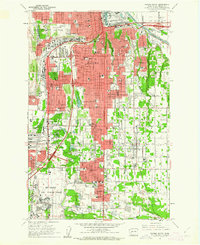 1961 Tacoma South1962 Print · USGSSouthern Tacoma and its suburbs are shown during a period of rapid mid-century growth. Genealogists and local historians can locate long-standing institutions like Pacific Lutheran University, Oakwood Cem, and the historic Holy Rosary Sch.5 unique versions available
 - 1961 Map of Puyallup, 1962 Print
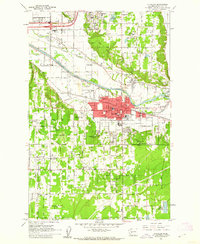 1961 Puyallup1962 Print · USGSPierce County at the dawn of the 1960s shows a valley of rail lines and riverside settlements. Genealogists can trace family roots through Woodbine Cem and the many local schools like Firgrove Sch or Collins Sch.5 unique versions available
 - 1961 Map of Tacoma South, 1968 Print
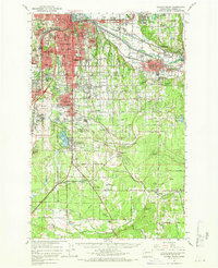 1961 Tacoma South1968 Print · USGSPierce County during the early sixties shows the intersection of suburban growth and massive military infrastructure. Genealogists and historians can trace family plots like Henry Smith Cem, old airfields like Thun Field, and the campus of Pacific Lutheran University.
 - 1962 Map of Seattle
 1962 Seattle1962 Print · USGSThe Puget Sound region and Olympic Peninsula are shown at a peak of mid-century growth. Genealogists and historians can trace rail lines like the Pacific Coast RR or locate landmarks such as Fort Lawton and the Bothell Power Station.
 - 1975 Map of Tacoma, 1977 Print
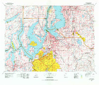 1975 Tacoma1977 Print · USGSThe Puget Sound region in the mid-seventies reveals a landscape of growing urban centers and massive federal installations. Genealogists and historians can trace the development of Tacoma and Olympia, or locate landmarks like the McNeil Island Penitentiary and Fort Lewis Military Reservation.
 - 1991 Map of Tacoma
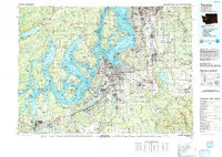 1991 Tacoma1991 Print · USGSThe South Sound and Tacoma waterfront appear here in the early nineties, showing a landscape defined by deep-water inlets and massive federal installations. Researchers can trace the development of Lakewood Center or locate the historic rail lines of the Burlington Northern Railroad and Union Pacific Railroad.
 - 1997 Map of Tacoma South, 2003 Print
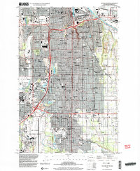 1997 Tacoma South2003 Print · USGSTacoma and Pierce County are shown during a period of urban expansion in the late twentieth century. Researchers can trace the development of Parkland around Pacific Lutheran University or study the extensive grounds of Mc Chord Air Force Base.
 - 1997 Map of Puyallup, 2003 Print
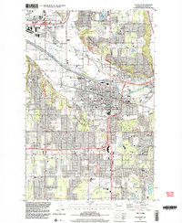 1997 Puyallup2003 Print · USGSPuyallup and the surrounding river valleys are shown in the late nineties as residential and commercial development accelerated across South Hill. Researchers can locate civic landmarks like the Western Washington State Fair Grounds and the Fort Maloney Historical Marker, alongside All Saints Ch.
 - 2011 Map of Tacoma South, 2011 Print
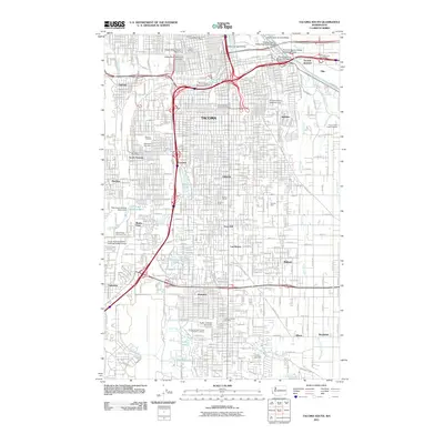 2011 Tacoma South2011 Print · USGSSouthern Tacoma and the Puyallup River valley are shown here in the early twenty-first century as a mature network of neighborhoods and industrial hubs. Trace local roots at Pacific Lutheran University or find vanished landmarks near Fern Hill and Wapato Lake.
 - 2011 Map of Puyallup, 2011 Print
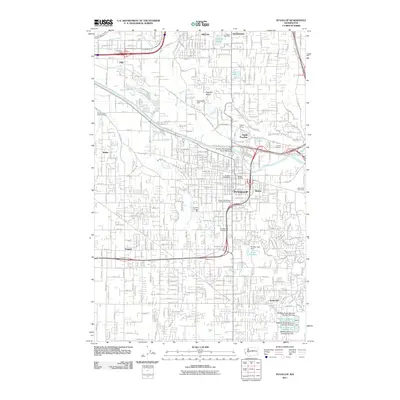 2011 Puyallup2011 Print · USGSPierce County’s river valleys and growing suburban centers are shown in high detail during the early twenty-first century. Genealogists and local historians can locate Woodbine Cemetery, the Meeker Mansion, and the expansive Western Washington State Fair Grounds.
 - 2014 Map of Tacoma South, 2014 Print
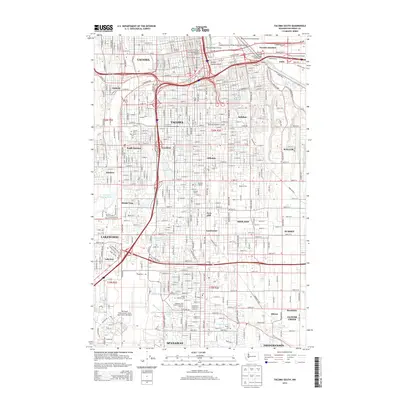 2014 Tacoma South2014 Print · USGSTacoma and its southern suburbs are shown here in the mid-2010s, capturing the area's dense urban grid and industrial port frontage. Researchers can trace the Tacoma Eastern RR route or locate family sites at Mt View Memorial Park and Pacific Lutheran University.
 - 2014 Map of Puyallup, 2014 Print
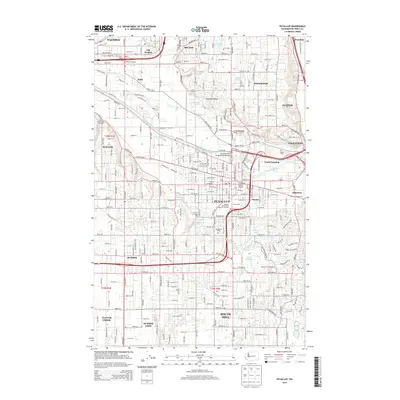 2014 Puyallup2014 Print · USGSThe Puyallup Valley and its surrounding hills show a complex blend of historic agricultural roots and modern suburban growth in the twenty-first century. Genealogists and local researchers can locate landmarks like the Meeker Mansion, Woodbine Cem, and the Van Lierop Bulb Farm.
 - 2017 Map of Puyallup, 2017 Print
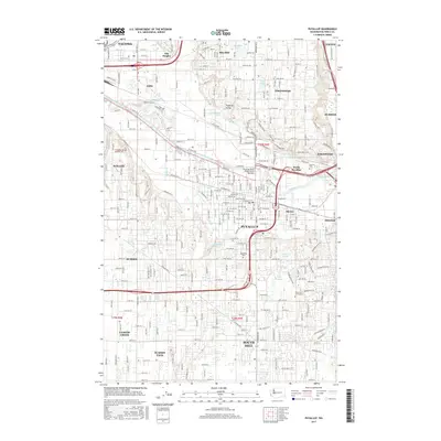 2017 Puyallup2017 Print · USGSPierce County’s fertile valley and expanding suburban landscape are shown here in the late twenty-tens as modern growth meets historic river settlements. Researchers can locate Woodbine Cem, the Linwood Pit, and family-named locales like Meeker and Alderton.
 - 2017 Map of Tacoma South, 2017 Print
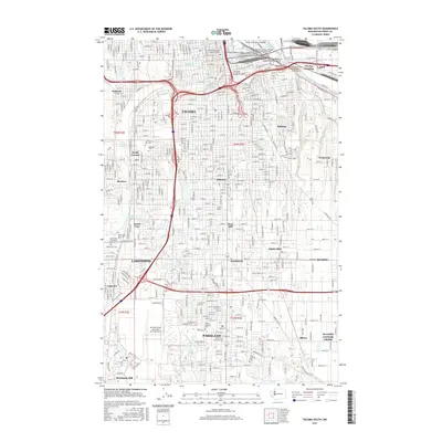 2017 Tacoma South2017 Print · USGSTacoma and its southern neighbors are captured here in the late twenty-tens as urban development meets the historic Puyallup River valley. Researchers can trace local heritage through the Old Tacoma City Cemetery, Pacific Lutheran University, and the sprawling grounds of McChord Field.
 - 2020 Map of Puyallup, 2020 Print
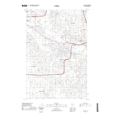 2020 Puyallup2020 Print · USGSPierce County’s river valleys and rising residential benches are shown here during a period of modern growth and suburban expansion. Genealogists and local historians can locate several burial grounds like Sumner Cem and Woodbine Cem, or trace the industrial corridors along Fife.
 - 2020 Map of Tacoma South, 2020 Print
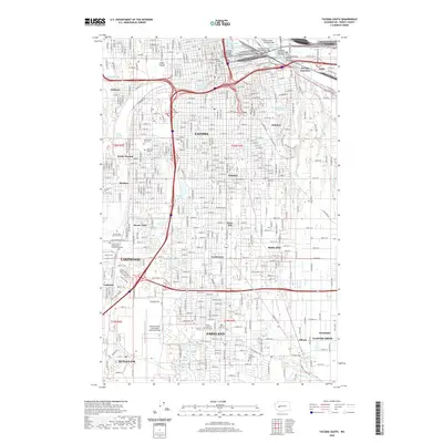 2020 Tacoma South2020 Print · USGSModern Pierce County comes into focus as it appeared in 2020, from the Tacoma waterfront down to the expansive Joint Base Lewis-McChord. Trace local landmarks like Pacific Lutheran University, the Old Tacoma City Cem, and the iconic Chihuly Bridge of Glass.
 - 2023 Map of Puyallup, 2023 Print
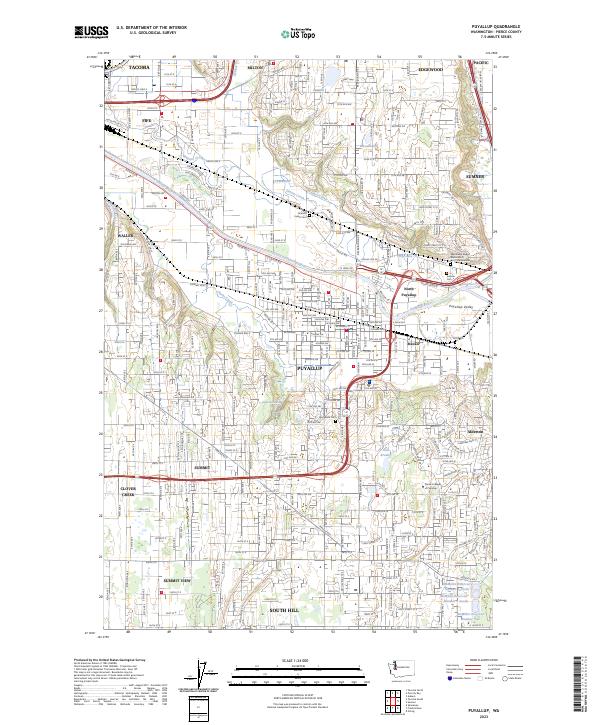 2023 Puyallup2023 Print · USGSThe Puyallup Valley and its surrounding bluffs are shown in high detail during this contemporary period of Pacific Northwest growth. Genealogists and historians can trace significant sites from the Indian Cem and Woodbine Cem to the early rail-stop area of Meeker.
 - 2023 Map of Tacoma South, 2023 Print
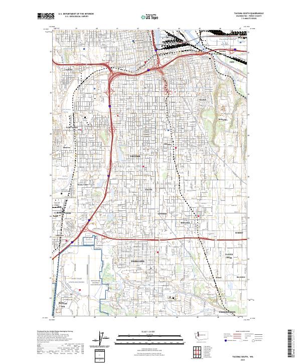 2023 Tacoma South2023 Print · USGSThe southern reaches of Tacoma and its military installations are shown in detail as they appeared in 2023. Researchers can locate Old Puyallup Indian Cem, the grounds of Pacific Lutheran University, and the South Tacoma Swamp.
End of results
Showing maps 1-23 of 23
Top cities near Waller
- Tacoma historical maps
- Kent historical maps
- Renton historical maps
- Federal Way historical maps
- Auburn historical maps
- South Hill historical maps
See more
Frequently asked questions
- What are the different types of historical maps available for Waller?
- What is the oldest map of Waller?
- Where can I purchase historical maps of Waller for my home or office?
- Where can I download high-res historical maps of Waller?
- Are there historical topographic maps available for Waller?
- Is there historical aerial imagery available for Waller?
- Where are historical maps of Waller sourced from?