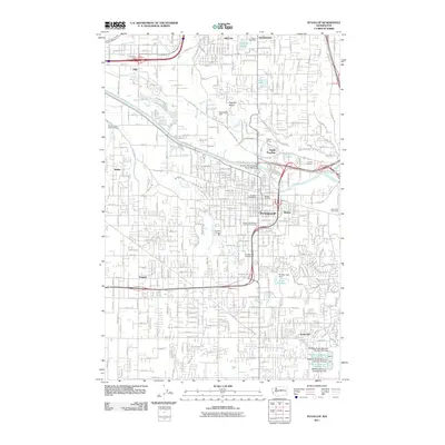
2011 Map of Puyallup
USGS Topo · Published 2011About this map
The Puyallup Valley serves as the central corridor for this 2011 survey, dominated by the winding course of the Puyallup River and its many tributaries, including Clarks Creek and Simons Creek. This era shows a dense network of suburban development and infrastructure surrounding the core of Puyallup, where the Meeker Mansion and the Western Washington State Fair Grounds stand as significant cultural landmarks. To the east, the agricultural legacy of the region is still visible at the Van Leirop Bulb Farm.
Find a feature on this map
160 named features on this map. Tap any name to fly to it.
Don’t see what you’re looking for? This feature index may not catch every label — zoom into the map to look around manually.
Map Details
Editions of this 2011 Puyallup Map
This is the sole edition of this map. No revisions or reprints were ever made.
Other maps of this area

1897 · Tacoma
USGS Topo · 1:125,000

1900 · Tacoma
USGS Topo · 1:125,000

1941 · Tacoma South
USGS Topo · 1:62,500

1942 · Lake Tapps
USGS Topo · 1:62,500

1944 · Lake Tapps
USGS Topo · 1:62,500

1944 · Tacoma South
USGS Topo · 1:62,500

1949 · Tacoma North
USGS Topo · 1:24,000

1949 · Poverty Bay
USGS Topo · 1:24,000

1949 · Auburn
USGS Topo · 1:24,000

1956 · Orting
USGS Topo · 1:24,000