
1949 Map of Auburn
USGS Topo · Published 1956About this map
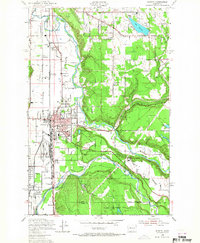
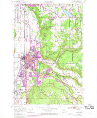
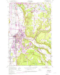
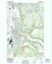
The Muckleshoot Indian Reservation serves as a geographic centerpiece for this 1949 study, which reveals the industrial and agricultural landscape of the Green and White River valleys. The rail corridor between Kent and Pacific is densely developed, featuring the massive Auburn General Depot and a complex network of lines including the Union Pacific and Northern Pacific. Beyond the municipal centers of Auburn and Algona, the map records numerous small community landmarks like the Hazelwood Sch, the State Fish Hatchery, and the State Game Farm. A distinct transition occurs where the valley floor meets the higher ground of the Muckleshoot Indian Reservation, where the White River and Stuck River diverge. Regional aviation is represented by both the Kent Airport and the Auburn Airfield, while local educational sites like Auburn Academy anchor the southern settlements.
Find a feature on this map
48 named features on this map. Tap any name to fly to it.
Don’t see what you’re looking for? This feature index may not catch every label — zoom into the map to look around manually.
Map Details
Editions of this 1949 Auburn Map
5 editions found
Other maps of this area

1897 · Tacoma
USGS Topo · 1:125,000

1900 · Tacoma
USGS Topo · 1:125,000

1941 · Tacoma South
USGS Topo · 1:62,500

1942 · Lake Tapps
USGS Topo · 1:62,500

1944 · Lake Tapps
USGS Topo · 1:62,500

1944 · Tacoma South
USGS Topo · 1:62,500

1949 · Maple Valley
USGS Topo · 1:24,000

1949 · Black Diamond
USGS Topo · 1:24,000

1949 · Poverty Bay
USGS Topo · 1:24,000

1949 · Renton
USGS Topo · 1:24,000