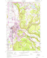
1949 Map of Auburn
USGS Topo · Published 1976About this map
The Green River and White River converge in this mid-century portrait of a region balancing fertile valley agriculture with heavy logistical growth. The rail corridor is dominated by the Milwaukee Chicago and St Paul and Pacific Northern Burlington lines, which serve the massive Auburn General Depot and the industrializing town centers of Auburn and Algona. Higher elevations to the east around Lake Holm and Lake Meridian reveal a landscape of smaller water bodies and specialized facilities like the State Fish Hatchery and State Game Farm.
Find a feature on this map
51 named features on this map. Tap any name to fly to it.
Don’t see what you’re looking for? This feature index may not catch every label — zoom into the map to look around manually.
Map Details
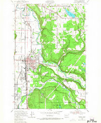
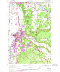
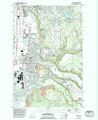
Editions of this 1949 Auburn Map
5 editions found

Other maps of this area

1897 · Tacoma
USGS Topo · 1:125,000

1900 · Tacoma
USGS Topo · 1:125,000

1941 · Tacoma South
USGS Topo · 1:62,500

1942 · Lake Tapps
USGS Topo · 1:62,500

1944 · Lake Tapps
USGS Topo · 1:62,500

1944 · Tacoma South
USGS Topo · 1:62,500

1949 · Maple Valley
USGS Topo · 1:24,000

1949 · Black Diamond
USGS Topo · 1:24,000

1949 · Poverty Bay
USGS Topo · 1:24,000

1949 · Renton
USGS Topo · 1:24,000